Picture yourself gliding along a gravel path, the scent of cedar in the air, as the Cowichan River sparkles through the trees. Cycling on the Cowichan Valley Trail is an invitation to immerse yourself in the soul of Southern Vancouver Island. This spectacular multi-use trail, a former railway line, stretches over more than 60 km of rail trail, connecting Duncan to Lake Cowichan with a gentle, beginner-friendly grade. From the awe-inspiring Historic Kinsol Trestle to serene meadows dotted with wildflowers, the cycling routes Cowichan Valley Trail offers are a cyclist’s dream. Whether you’re a family seeking a leisurely outing or an adventurer eyeing the 190km figure-eight bikepacking route, this guide provides everything you need—detailed Cowichan Valley Trail map insights, cycling safety tips, and local secrets—to plan an unforgettable cycling tours Cowichan Valley Trail adventure.
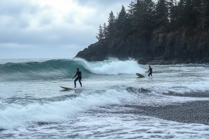
If you consider yourself a lucky person to be alive, then live your life in a way that it counts. Sombrio Beach surfing is a big adventure, so prepare surfing equipment, hop on, and heat the road. A quite exposed beach and reef break in which you can relax and explore admirable scenery. Winds coming from different directions and waves at the beach have made Sombrio Beach ideal for starting your surfing journey on Vancouver Island.
You won't remember when you worked, but you'll remember the time you had an adventure. So, if you are on Mudge Island, rent a boat and go to the Dodd Narrows. This fantastic diving zone offers an exciting diving opportunity and a diversity of marine life. Also, nature admirers would be astonished by the cute colourful nature there.
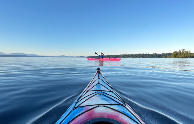
Ready to paddle through paradise? The Pender Islands, nestled in British Columbia’s Gulf Islands, offer calm bays, rugged coastlines, and a rich history that make them a kayaker’s dream destination. Whether you’re a beginner exploring the gentle waters of Port Browning or an experienced paddler taking on a full circumnavigation of North or South Pender, this guide has you covered. Dive into the best launch sites, camping options, essential safety tips, and even a glimpse into the islands’ fascinating past. Ready to plan your kayaking trip to Pender Islands? Let’s get started!
To be a storyteller of paddling adventures, do not leave out Bligh Island Marine Provincial Park. This stunning historical park leaves you speechless about its undeniable opportunities for kayaking and canoeing. Bligh Island Marine Provincial Park is known for its coastal forests and marine ecosystems, in which you are provided with several unique outdoor activities.
The fundamental core of life is your thirst for adventure; therefore, visiting Circlet Lake is a must. Circlet Lake Campground has enough attraction to fascinate you. Alpine forest, easy access, waterfalls, and lakes are just some attractions bewitching visitors and mountaineers for camping there. Some wooden plateau tent pads are provided on the lake, while some are off the lake for campers who need more seclusion.
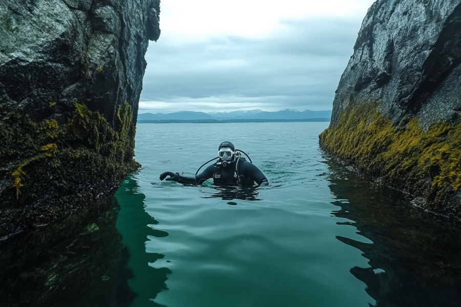
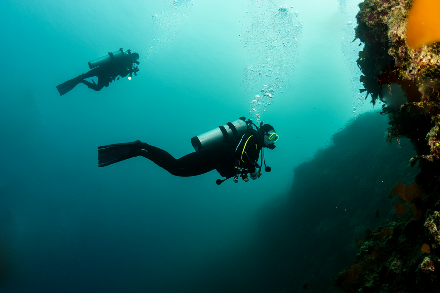
Assign one page of your adventure book to the experience you would gain in the Cottam Point diving zone. Going north of Nanaimo, this fantastic diving location is famous for its mighty tides and incredible marine life. Therefore, you can enjoy both diving and exploring underwater life.
.webp)
Quadra Island sits at the very edge of the Strait of Georgia where the large expanse of water ends and the Discovery Islands begin. Known for its dramatic tidal currents, sheltered inlets, diverse camping opportunities, and rich historical context, Quadra Island is a paddler’s paradise. This guide provides every detail—from the island’s history and geography to in-depth descriptions of its individual kayaking regions—so that both novice and advanced paddlers can plan an unforgettable expedition.
Exceptional opportunities to explore the water while enjoying the scenic view of a city with a hundred years of history and culture preserved within the realms of Ladysmith. as an ideal kayaking destination, Ladysmith has several offerings to make your stay even more joyful. So, pack your bags and hit the road to this beautiful old city.
If you want to make every moment on Vancouver Island worthwhile, remember to plan for a kayaking adventure on the waters next to Pacheedaht Beach. The San Juan River Estuary Ecological Reserve is the habitat for a variety of wildlife worthy of visiting. In addition to paddling, visitors can enjoy themselves doing other outdoor activities in the region.
|
Section |
Distance |
Time |
Rating |
Key Features |
Tide Hazards |
|---|---|---|---|---|---|
|
China Beach to Bear Beach
|
10.5 km
|
6-8 hours
|
3C III
|
Mystic Beach, suspension bridge
|
None
|
|
Bear Beach to Chin Beach
|
10.5 km
|
6-8 hours
|
4D II
|
Coastal views, streams
|
Rosemond Creek (<3m/10ft)
|
|
Chin Beach to Sombrio Beach
|
8 km
|
4-6 hours
|
4C II
|
Loss Creek bridge, sea stacks
|
Chin Beach shelf (<2.4m/8ft)
|
|
Sombrio Beach to Parkinson
|
8 km
|
4-6 hours
|
3B III
|
Logged areas, cliffs
|
None
|
|
Parkinson to Botanical Beach
|
10 km
|
5-7 hours
|
2B II
|
Tide pools, marine history
|
Tom Baird Creek (<2.4m/8ft)
|


.webp)


Tahsis is an accessway to many hiking trails. This village municipality is situated at the top of the steep-sided Tahsis Inlet and is surrounded by breathtaking wilderness and abundant wildlife. Some of the best water activities like ocean kayaking, surfing, windsurfing, recreational fishing or sport fishing, scuba diving, and kiteboarding are popular.

The Sutton Range is a group of mountains and a subrange of the Vancouver Island Ranges that form the greater Insular Mountains. The amazing rock formation and alpine scale make the mountains within the range perfect for climbing. While you're atop Sutton Peak, Victoria Peak, Warden Peak, and mainland coast mountains are within your sight.
The Sophia Range is a low small group of mountains on Nootka Island. Visiting the range would be fascinating overlooking inlets. The spectacular sights of the hills wrapped in trees ornamented with beautiful wildlife and birds are amazing while ascending. The range and the nearby park are a wealth of outdoor activities as paddling, fishing, and wildlife viewing.
As it is said, "A river cuts through rock, not because of its power, but because of its persistence." Did you know it takes a long process for a cave to be created? Artlish Caves is no exception. It is the largest active river cave in Canada, and the running water is why these series of caves were carved out from the ground, which is still happening. While you are inside the caves, sharpen your eyes to find bats, spiders, and other creatures in the darkness.

If you desire to search for hidden parts of nature to discover exciting facts, Coral Cave is a suitable option. Before stepping into it, you need to have caving skills. The beauty of the cave is doubled by the stunning rainforest that surrounded the entrance. While you are inside, you may see the flooded parts of the cave. Let's get into it to find more and realize the time effect for thousands or millions of years.
Devote more time, get a challenging goal for yourself, and pack your equipment. It is time to face the longest and deepest cave on Vancouver Island, Thanksgiving Cave. Caving inside this mostly tight and beautiful cave is not a beginner's suitable exploration, but for an expert caver, the adventurers' rush worth any trouble. If you are a beginner, don't worry. Tahsis is the caving capital of Canada, so you have different chances nearby.
Going deep into the forest is worthy enough to visit the stunning Upana Caves. Listen to the sound of a river passing by and detect several entrances with the famous one behind the spectacular Upana Caves Waterfall. Inside entrances, you may find birds' nests. Watch the evidence of years of existence by holes like the one in cheese. The stunning galleries and passages you'll explore while going down would be incredible.
The Genevieve Range offers a fascinating tour within Nootka Island with spectacular sights for mountaineers. The range's area is a remote paradise for those seeking peace and seclusion. While ascending peaks, the range allows breath-taking sights of the ocean, enormous trees below your feet covering hills along with lakes and creeks dotted the area and plenty of wildlife.
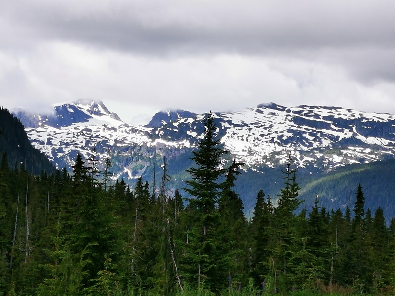
The Haihte Range overlooking Tahsis and Zeballos is home to some of the largest remaining glaciers on Vancouver Island. It experiences many cloudy days due to being close to the coast. The high terrain, including long aesthetic lines, is perfect for skiing at the lower glacier shelves, and visitors would enjoy excellent alpine climbing at jagged spires along the main ridge.
|
Month |
Weather Conditions |
Trail Accessibility |
Considerations |
|---|---|---|---|
|
May
|
Variable; cooler temperatures, rain.
|
Open; some campsites closed.
|
Less crowded; prepare for wet conditions, muddy trails.
|
|
June
|
Mild temperatures; moderate rainfall.
|
Open; most campsites operational.
|
Increasing hikers; moderate weather, ideal for families.
|
|
July
|
Warmer; drier conditions.
|
Fully open; all campsites operational.
|
Peak season; high demand for campsites, busiest month.
|
|
August
|
Warm; drier conditions.
|
Fully open; all campsites operational.
|
Peak season; highest crowds, warmest weather.
|
|
October-April
|
Cooler, wetter; increased rainfall, mud.
|
Open year-round; potential campsite closures.
|
Off-peak; expect challenging conditions, fewer hikers, check BC Parks for updates.
|

Anita Akhondi