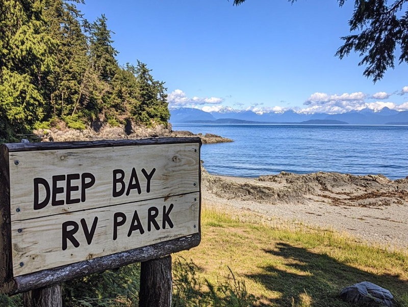
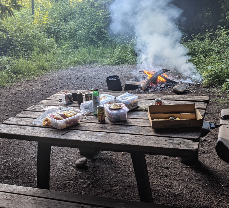
Despite its name, if you favour it, you can do tent camping with a sea view right in the center of Vancouver Island. one of the most significant fishing camps, Deep Bay s full of surprises for anglers. Not to mention that if you visit, you can observe various fantastic wildlife there. So, put your hesitates aside, and plan to visit Camping in Deep Bay RV Park this weekend.
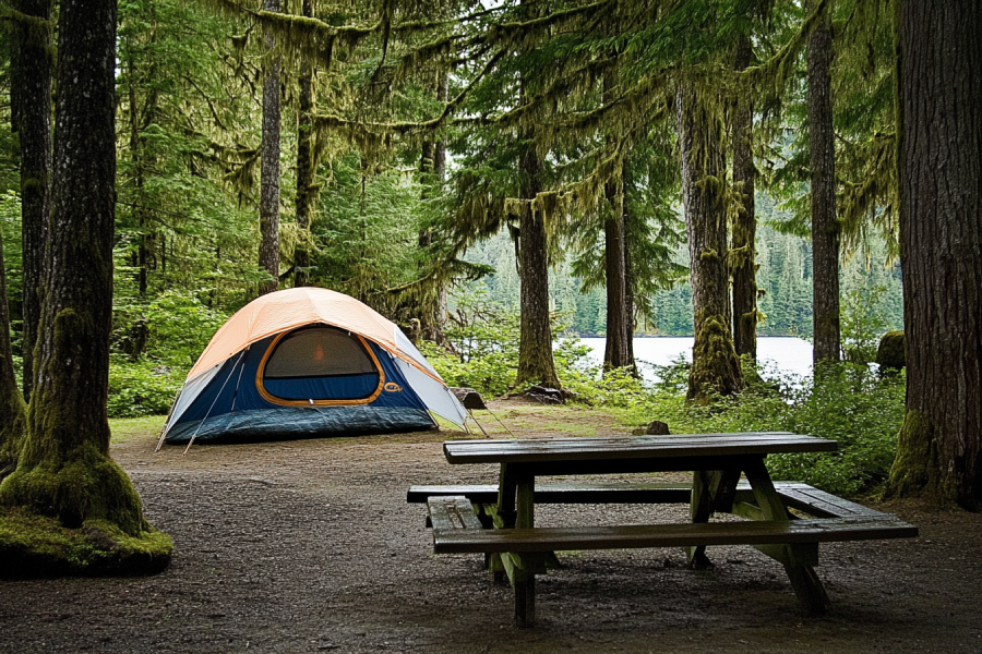
Make the best of your journey on Vancouver Island by camping in one of the possibly best campgrounds on the southwest of Vancouver Island. Pachena Bay Campground offers a quiet private campsite for those who want to get away from the bustle in towns. Not to mention the beautiful, clean, and sandy beach in which you are provided with every possible fun opportunity.
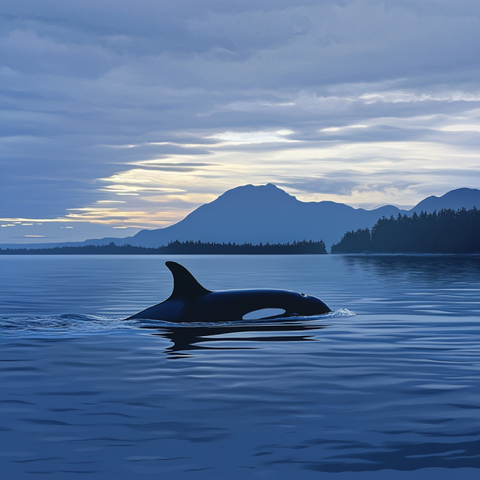
Due to certified whale watching agencies, Fisherman's Wharf Park is a significant place to visit for whale watching enthusiasts. As one of the most prodigious and phenomenal creators worldwide, whales are ample during specific whale watching seasons.
.jpg)
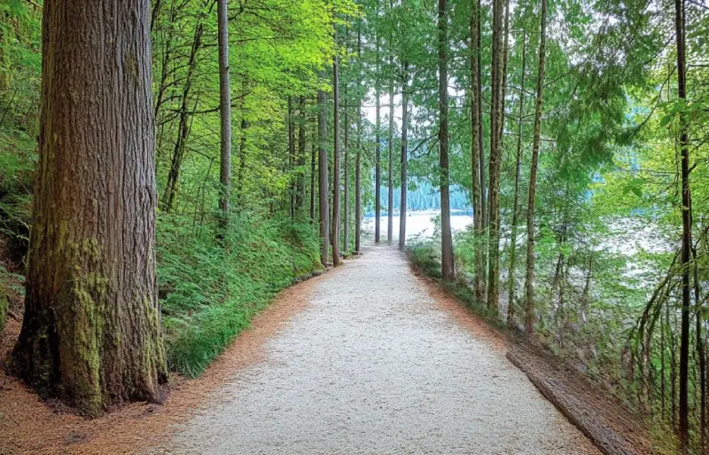
A relatively short and easy trail in the Comox Valley area is the hike to Trent Falls. Stay on track because its wild nature has much to offer. Hiking along the Trent River with its perfect swimming and fishing opportunities and watching the waterfall with a deep pool under and the wildlife around it brings you joy, especially if you are with the family.
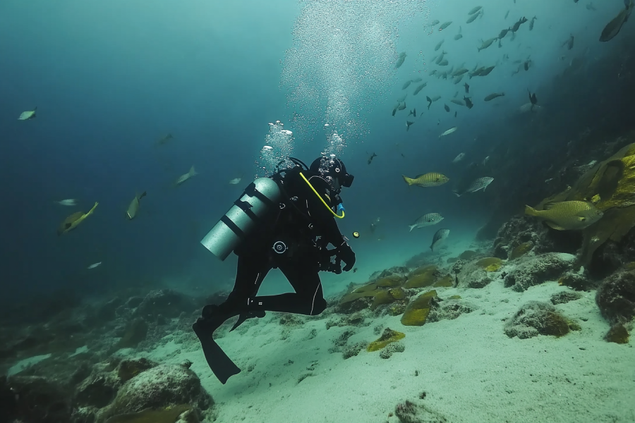
Don't just listen to people talking about Wall Beach. Come and see how beautiful this sea lion habitat is. Incredible diving opportunities are provided for both armature and professional divers. The chance to see several diverse marine life there is Wall Beach adds up to the reasons why one should come to this spectacular beach.
While exploring Sooke Area, if you happen o take a long calm walk on the Otter Point shoreline, you may see whales from the beach. Otter Point Park provided you with other activities, too, such as hiking, wildlife and birdwatching, and also a scenic nature to appreciate.
If you got a few days free and you plan to spend it on Vancouver Island, pay a visit to Fillongely Provincial Park to experience every possible way of camping. Nestled amongst lush green deciduous trees, visitors would enjoy excellent hiking trails with picturesque sights. This quiet, clean, and grassy park provides you with exciting activities and a gorgeous ocean and forest view.
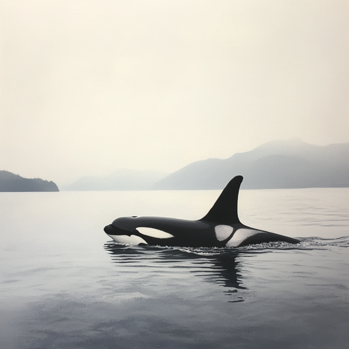
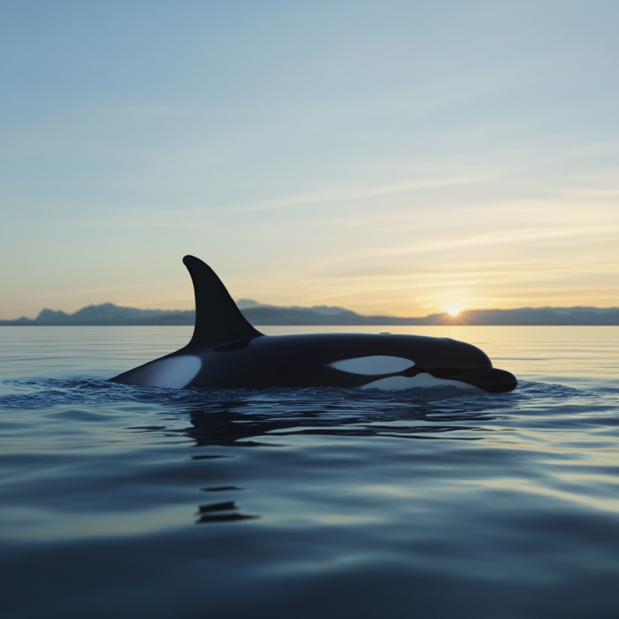
Gain sight for adventure during your stay on the coastline of the Salish sea and embrace the opportunities for whale watching there. In the Salish Sea, a habitat for killer whales, various vessels are provided for Sidney whale watching. These vessels are equipped with hydrophones to listen to the sounds of the whales. Not to mention that you can take out your cameras and capture these gigantic sea creatures.
Camping in Ralph River Campground offers a bit more comfortable experience of exploring the park. It's adjacent to Buttle Lake, with numerous campsites all along the glorious shoreline of it. It is where you will feel a sense of being in the wilderness with beautiful sights and spectacular views from several sites over the valleys.
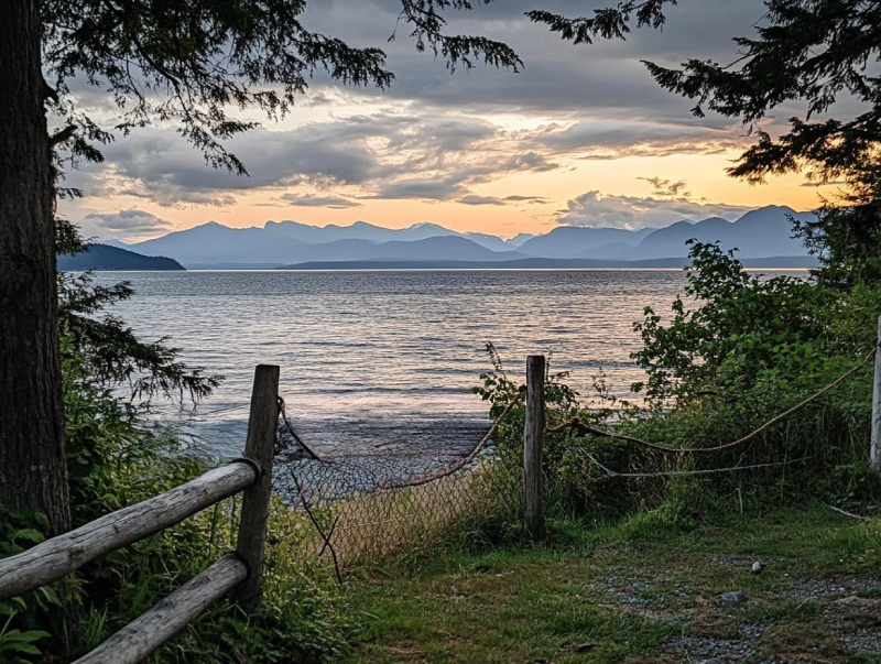
Spacious, unique, private, and complete facility sites are provided in Bradsdadsland Campsite for visitors to have a perfect time camping on Hornby Island. Embrace this fantastic opportunity for adventure while you are in one of the gems of Hornby Island. You would feel peaceful while camping in the beautiful Bradsdadsland, away from your daily boring daily routine. While watching sunsets, enjoy the ocean view ahead of you.
|
Trails |
Distance |
Time |
Rating |
Notes |
|---|---|---|---|---|
|
Gordon River to Thrasher Cove
|
6 km (3.7 mi)
|
4-5 hours
|
4C
|
Forested, steep climbs, muddy in rain, views of Port San Juan
|
|
Thrasher Cove to Camper Creek
|
8 km (5 mi)
|
4-5 hours
|
3D V
|
Beach route difficult until Owen Point, tide-dependent (below 1.8 m).
|
|
Camper Creek to Logan Creek
|
6 km (3.7 mi)
|
3-4 hours
|
3D II
|
Toughest part, muddy trails, boardwalks help.
|
|
Logan Creek to Walbran Creek
|
4 km (2.5 mi)
|
1-2 hours
|
3D II
|
Beach route risky at Adrenaline Creek, trail recommended.
|
|
Walbran Creek to Carmanah Creek
|
7 km (4.3 mi)
|
3-4 hours
|
2D II
|
Beach option at low tides, cable car crossing.
|
|
Carmanah Creek to Cheewhat River
|
10 km (6.2 mi)
|
5-6 hours
|
2C II
|
Water scarce late season, scenic forest and beach.
|
|
Cheewhat River to Nitinat River
|
4 km (2.5 mi)
|
1.5-2 hours
|
2C II
|
Inland trail, exit possible at Nitinat.
|
|
Nitinat River to Tsusiat Falls
|
7 km (4.3 mi)
|
3-4 hours
|
2C II
|
Spectacular headlands, beaches, popular camping.
|
|
Tsusiat Falls to Tsocowis Creek
|
7 km (4.3 mi)
|
3-4 hours
|
2C II
|
Cable car at Klanawa River, Valencia Bluffs shipwreck site.
|
|
Tsocowis Creek to Michigan Creek
|
4 km (2.5 mi)
|
1-2 hours
|
2B I
|
Mostly beaches, easy hiking.
|
|
Michigan Creek to Pachena Beach
|
12 km (7.4 mi)
|
5-6 hours
|
3C I
|
Steep ladders, challenging sections, ends at trailhead.
|


.webp)


Tahsis is an accessway to many hiking trails. This village municipality is situated at the top of the steep-sided Tahsis Inlet and is surrounded by breathtaking wilderness and abundant wildlife. Some of the best water activities like ocean kayaking, surfing, windsurfing, recreational fishing or sport fishing, scuba diving, and kiteboarding are popular.

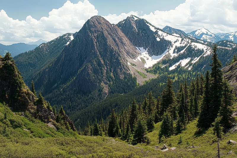
The Sutton Range is a group of mountains and a subrange of the Vancouver Island Ranges that form the greater Insular Mountains. The amazing rock formation and alpine scale make the mountains within the range perfect for climbing. While you're atop Sutton Peak, Victoria Peak, Warden Peak, and mainland coast mountains are within your sight.
The Sophia Range is a low small group of mountains on Nootka Island. Visiting the range would be fascinating overlooking inlets. The spectacular sights of the hills wrapped in trees ornamented with beautiful wildlife and birds are amazing while ascending. The range and the nearby park are a wealth of outdoor activities as paddling, fishing, and wildlife viewing.
As it is said, "A river cuts through rock, not because of its power, but because of its persistence." Did you know it takes a long process for a cave to be created? Artlish Caves is no exception. It is the largest active river cave in Canada, and the running water is why these series of caves were carved out from the ground, which is still happening. While you are inside the caves, sharpen your eyes to find bats, spiders, and other creatures in the darkness.

If you desire to search for hidden parts of nature to discover exciting facts, Coral Cave is a suitable option. Before stepping into it, you need to have caving skills. The beauty of the cave is doubled by the stunning rainforest that surrounded the entrance. While you are inside, you may see the flooded parts of the cave. Let's get into it to find more and realize the time effect for thousands or millions of years.
Devote more time, get a challenging goal for yourself, and pack your equipment. It is time to face the longest and deepest cave on Vancouver Island, Thanksgiving Cave. Caving inside this mostly tight and beautiful cave is not a beginner's suitable exploration, but for an expert caver, the adventurers' rush worth any trouble. If you are a beginner, don't worry. Tahsis is the caving capital of Canada, so you have different chances nearby.
Going deep into the forest is worthy enough to visit the stunning Upana Caves. Listen to the sound of a river passing by and detect several entrances with the famous one behind the spectacular Upana Caves Waterfall. Inside entrances, you may find birds' nests. Watch the evidence of years of existence by holes like the one in cheese. The stunning galleries and passages you'll explore while going down would be incredible.
The Genevieve Range offers a fascinating tour within Nootka Island with spectacular sights for mountaineers. The range's area is a remote paradise for those seeking peace and seclusion. While ascending peaks, the range allows breath-taking sights of the ocean, enormous trees below your feet covering hills along with lakes and creeks dotted the area and plenty of wildlife.
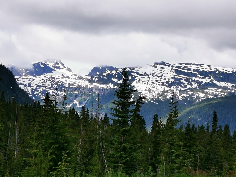
The Haihte Range overlooking Tahsis and Zeballos is home to some of the largest remaining glaciers on Vancouver Island. It experiences many cloudy days due to being close to the coast. The high terrain, including long aesthetic lines, is perfect for skiing at the lower glacier shelves, and visitors would enjoy excellent alpine climbing at jagged spires along the main ridge.
|
Month |
Weather Conditions |
Trail Accessibility |
Considerations |
|---|---|---|---|
|
May
|
Variable; cooler temperatures with increased rainfall.
|
Trail open; some campsites may be closed.
|
Less crowded; prepare for wet conditions.
|
|
June
|
Mild temperatures; moderate rainfall.
|
Trail open; most campsites operational.
|
Increasing number of hikers; moderate weather.
|
|
July
|
Warmer temperatures; drier conditions.
|
Trail open; all campsites operational.
|
Peak season; higher demand for permits.
|
|
August
|
Warm temperatures; drier conditions.
|
Trail open; all campsites operational.
|
Peak season; higher demand for permits.
|
|
September
|
Cooling temperatures; increased rainfall.
|
Trail open; some campsites may be closed.
|
Less crowded; prepare for variable weather.
|
|
Aspect |
Average Rating / Feedback Summary |
Notes / Tips |
|---|---|---|
|
Scenery
|
4.8/5 – Stunning coastlines, forests, waterfalls
|
Bring a camera; sunrise at Tsusiat is a highlight
|
|
Difficulty
|
4.5/5 – Very challenging for beginners
|
Train with weighted packs before your hike
|
|
Campsites
|
4.2/5 – Great locations, basic amenities
|
Some pit toilets are rough; bring your own TP
|
|
Wildlife Encounters
|
4.6/5 – Frequent sightings of marine and forest animals
|
Store food properly to avoid bear encounters
|
|
Weather Conditions
|
3.5/5 – Can be wet and muddy
|
Best months: July–Aug; rain gear is essential
|
|
Booking Process
|
4.5/5 – Generally smooth online process
|
Book early; flexible start dates help
|
|
Navigation & Signage
|
4.0/5 – Mostly clear, some tricky spots
|
Use official maps and GPS apps like Gaia or AllTrails
|
|
Value for Money
|
4.4/5 – Expensive but worth the experience
|
Ferries, shuttles, gear rental costs can add up
|

Anita Akhondi