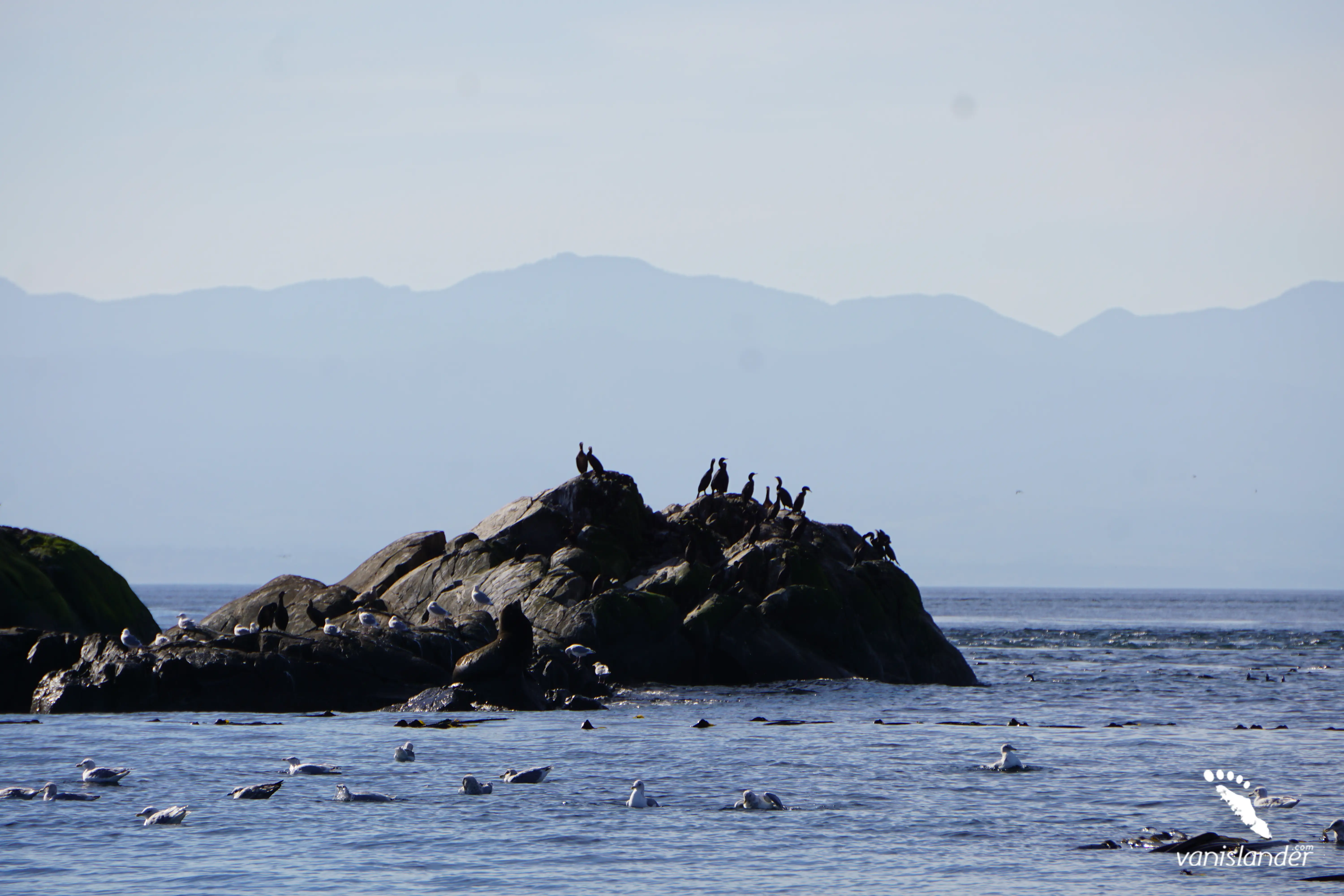
Dodd Narrows Dive Site is a boat-accessible diving location with various marine life and colourful and incredible nature northwest of Mudge Island. On both sides of the place, there are boat anchoring locations. The Mudge Island side of the Narrows is the residing place of Wolf eels where California and Steller Sea Lions can occasionally be observed during the winter months.
Reaching the Nanaimo and heading southwest on Mark Bate Lane, Dodd Narrows is between Joan Point Park and Mudge Island, Vancouver Island. The place considers as one of Nanaimo's diving locations and is accessible by boat. Some other diving spots near Dodd Narrows, including Breakwater Island, Gabriola Passage, Carlos Island, Keel Cove, Porlier Pass, HMCS Cape Breton, Clark Rock, Orlebar Point, Rivtow Lion, and Jesse Island.
Latitude: 49.1349° or 49° 8' 5.7" north
Longitude: -123.8173° or 123° 49' 2.2" west
If you plan to drive toward Dodd Narrows, you can choose Ivor Rd as your final roadway. From there, the access is through waterways.
From Nanaimo:
The fastest route from downtown Nanaimo to Dodd Narrows is Trans-Canada Hwy/BC-1 S. It is 14.3 km (8.8 miles) and takes about 15 minutes.
Take Trans-Canada Hwy/BC-1 S, Cedar Rd, Holden Corso Rd and Barnes Rd to Leask Rd in Nanaimo A for 13.7 km (8.5 miles). Continue on Leask Rd. Drive to Ivor Rd, and after 550 m (1804.4 ft), you will reach there.
From Victoria:
The access to Dodd Narrows from Victoria is via Trans-Canada Hwy/BC-1 N. It is 109 km (67.7 miles) and takes about an hour and a half.
Take Government St to Trans-Canada Hwy/BC-1 N for 1.2 km (0.7 miles). Use any lane to turn left onto Trans-Canada Hwy/BC-1 N and drive 96.5 km (60 miles). Continue on Haslam Rd. Take Cedar Rd, Woobank Rd and Barnes Rd to Ivor Rd. After 11.2 km (7 miles), you will reach Ivor Rd.