
At the northwest shore of West of Shawnigan Lake, there is a dawn to dusk area, with a Douglas fir forest and a delightful beach known as Shawnigan Lake Provincial Park. Being there with your family and friends and spending your time swimming, canoeing, waterskiing, and windsurfing would refresh your body and soul. The park is a habitat for many animals.
Witness the miracle of nature at Cowichan River Provincial Park coming with human heritage and recreational values. Marie Canyon and Skutz Falls are the prime viewpoints to watch spawning salmon in the fall. Have a picnic at the end of a day of hiking, biking, or horseback riding through excellent trails. On your journey, don't forget to look around, watching animal species and birds.
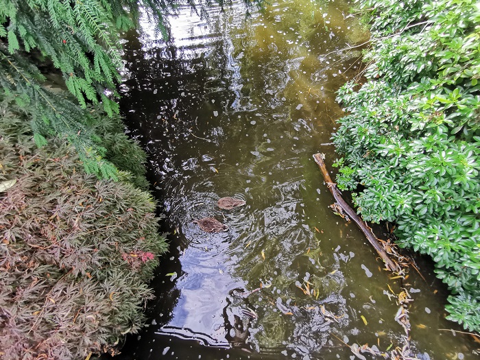
Memory Island Provincial Park is one of the smallest parks in British Columbia. Its peaceful and beautiful nature makes it an excellent choice for picnicking. As it is placed in Shawnigan Lake, you can catch some fish like trout. Also, swimming, canoeing, and kayaking are possible. In addition, the park is home to various birds, small mammals, reptiles, amphibians, plants, and fungi.
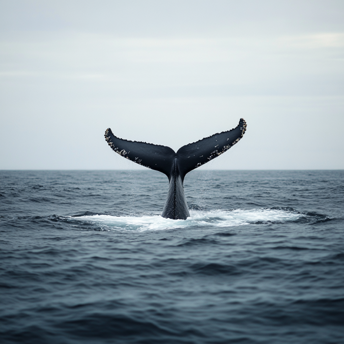
As one of the best tourist attractions of Sooke and Vancouver Island, West Coast comprises many outdoor excitements that cannot be denied. You are provided with different wildlife to watch and various food to eat, not to mention that you observe a rare nature that is outstanding. So, chances are high to see different whales and other marine creatures.
Nitinat Triangle provides an excellent opportunity for those fearless paddlers that lets them set their adventure-thirsty souls on fire. Schedule your trip to Nitinat Triangle when you have 4 or 5 days free. The triangle features campsite facilities and magnetic vies of the land.
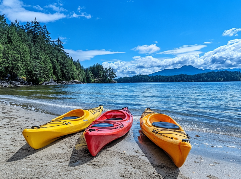
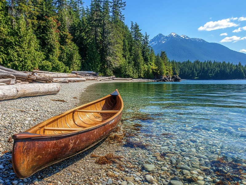
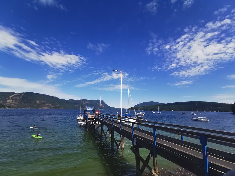
If you are a paddling enthusiast and happen to visit Vancouver Island during summer times, put Shawnigan Lake on top of your list. The lake is enclosed with fabulous parks in which you are provided with tons of recreational activities. Lakeside cabins, several beaches and a spectacular shoreline make Shawnigan Lake a fantastic hot spot for kayaking and canoeing.
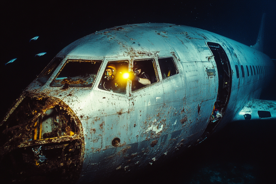
You cannot believe your ears are hearing a diving place made after a Jet Plane was sunk. But, there is only one way to find out, especially for divers who like abnormal experiences. While you are in Chemainus, you can rent a boat and paddle till you reach this place, offering you unbelievable diving opportunities.
Choose wisely to make your stay on Vancouver Island unforgettable. Camping in the Gordon Bay Camp Site can give you the chance to have a retreat from daily bustles in a perfect and clean with a quiet atmosphere. It has a lovely swimming area surrounded by log booms in which you can bathe and relax for unnoticeable hours.
Wandering around the second-largest lake on Vancouver Island, you are blessed with ample chances of different water sports. Natural features observable in this region adds up to the beauty and attractiveness of your stay and make your memories hard to forget. If you are interested in doing other activities, there are various adventures to embrace.
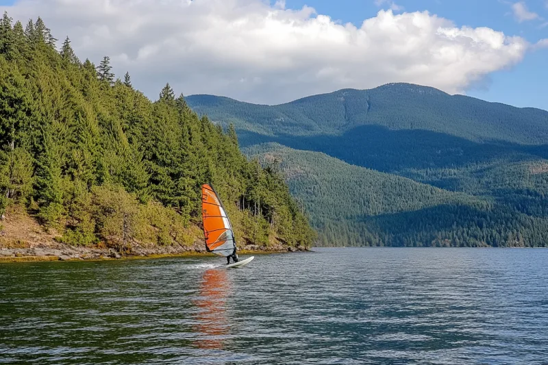
You would have the chance to re-invent your expectation of windsurfing by embracing the opportunities given to you on the second-largest lake of Vancouver Island. Cowichan Lake does not only serve your desires for windsurfing and is a paradise for those in love with water activities. If you are looking for a time to make the most of it in the Cowichan Lake area, plan to come during April.
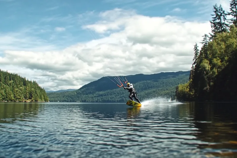
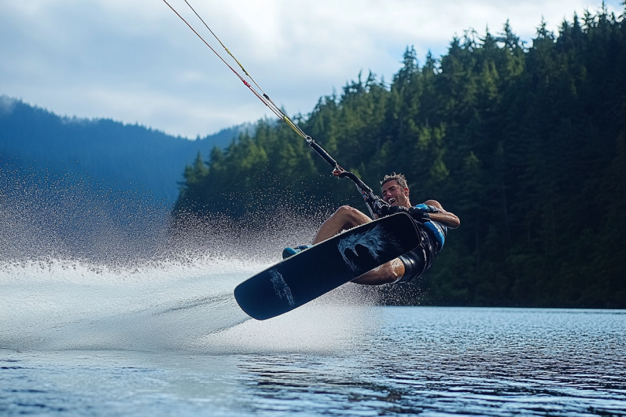
All Five senses come together to give the possibility to experience the endless adventure in the Nitinat Lake area. As one of the destinations for consistent winds, Nitinat Lake is a popular place for windsurfing. This lake with long, narrow, and strongly salt-stratified water offers you the best opportunities to fulfil your desires for adventure, kiteboarding in particular.


.webp)


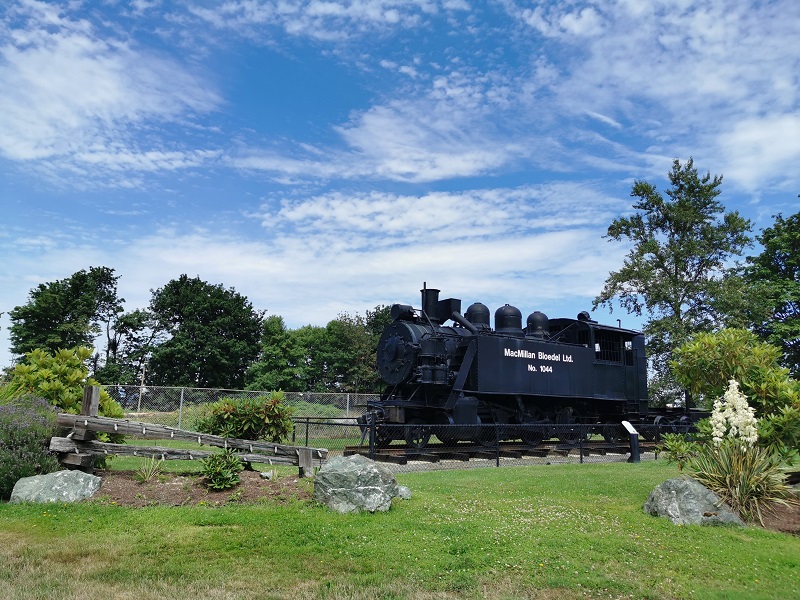
The city of Duncan is famous for its totem collection. Duncan's tourist attractions and activities include shops and restaurants, great vineyards, kayaking the rivers and ocean, hiking the Trans Canada Trail, or the farmers' market. The city offers Cowichan Performing Arts Centre with amazing shows, restaurants, pubs, and Duncan Showroom (a live music venue) for entertainment.
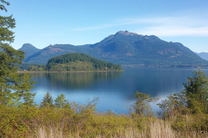
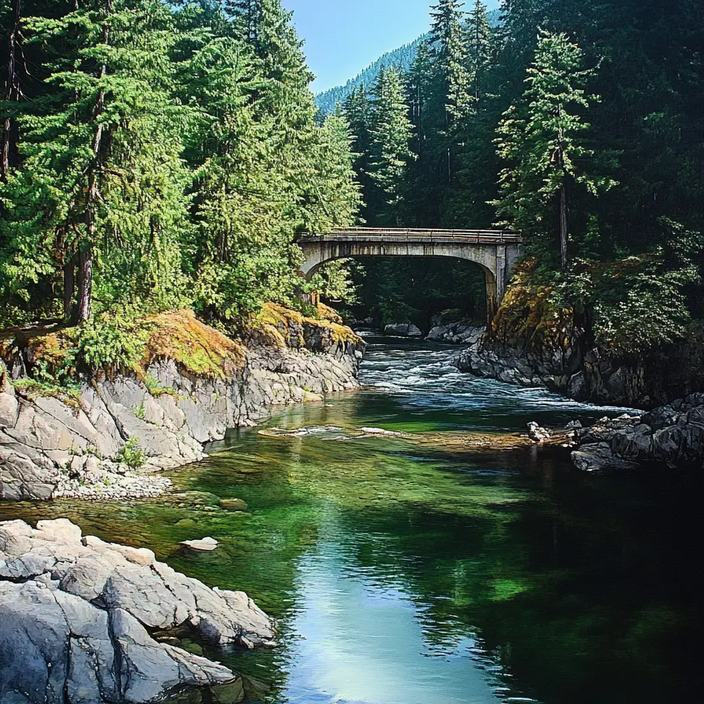
Lake Cowichan is a town east of Cowichan Lake, the second most untouched lake in BC. The town is west of the Trans Canada Trail, the longest recreational and multi-use trail network globally. Lake Cowichan has a beautiful mountainous area with plentiful wildlife and is a perfect place for outdoor adventures. Lake Cowichan has warm waters and a sandy beach for a family swim.
Caves teach us to face our fears. They are signs of history and are full of secrets. Nitinat Caves are a series of small and not very deep caves between Bamfield and Port Renfrew. It needs a sharp eye to find the entrance along the river. Water flows in them, and they lead you to a canyon with gem green water perfect for swimming. The caves offer you beauty and great scenes.
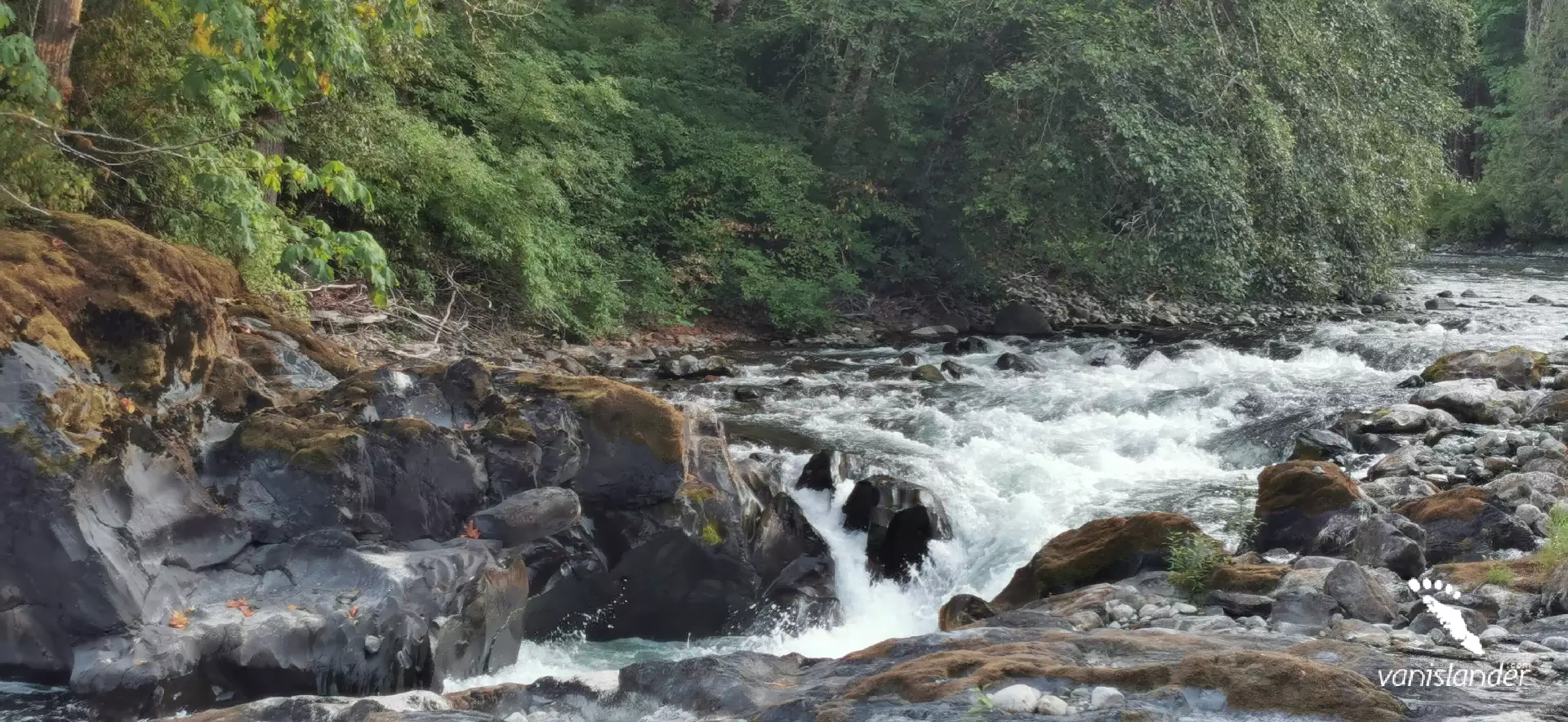
Made from the blue snake of the Cowichan River, Skutz Falls is a little waterfall at Cowichan River Provincial Park about bout 6 m (20 ft) in height. Stand at the falls' viewpoint to have a scene of the human-made fish ladder where the river's fast current splashes water on your face. Camping nearby and using the services would complete your journey for having more hours of adventure in the area.
The Seymour Range is a small mountain range that comprises the hills and mountains between the San Juan River and the valley of Lake Cowichan. High quality of hiking up at the peaks, is the surrounding mountains and scenery of valleys and hills covered with lush forest. Experience an enriching journey in the nearby Carmanah Walbran Provincial Park and Cowichan Lake.
At the northwest shore of West of Shawnigan Lake, there is a dawn to dusk area, with a Douglas fir forest and a delightful beach known as Shawnigan Lake Provincial Park. Being there with your family and friends and spending your time swimming, canoeing, waterskiing, and windsurfing would refresh your body and soul. The park is a habitat for many animals.
Witness the miracle of nature at Cowichan River Provincial Park coming with human heritage and recreational values. Marie Canyon and Skutz Falls are the prime viewpoints to watch spawning salmon in the fall. Have a picnic at the end of a day of hiking, biking, or horseback riding through excellent trails. On your journey, don't forget to look around, watching animal species and birds.
Memory Island Provincial Park is one of the smallest parks in British Columbia. Its peaceful and beautiful nature makes it an excellent choice for picnicking. As it is placed in Shawnigan Lake, you can catch some fish like trout. Also, swimming, canoeing, and kayaking are possible. In addition, the park is home to various birds, small mammals, reptiles, amphibians, plants, and fungi.
Go to a river to feel alive as its current. The Koksilah River can be your place. It originates on the slopes of Waterloo Mountain and continues its way to reach Cowichan Bay. On hot summer days, being there to swim in the valley could be refreshing. This river has a distinct beauty and various rocky canyons, waterfalls and rapids to a wide river. There are many species of birds to watch.

Let's get lost in the west coast nature and find ourselves beside a lake following the smell of the Pacific Ocean. Nitinat Lake is beyond your expectations, kiteboarding heaven and a windsurfers' choice. Cruise the cool and clean water and explore freshwater coves and inlets. Get more of your visit with Nitinat Caves and the underground world of Looper Creek Canyon.

Let's explore the second-largest lake on Vancouver Island. Cowichan Lake is the major recreational place in the Cowichan region and famous for paddling. It has some of the best hiking trails, several campsites, and chances for water-based activities. Get ready for this new experience, and we will strive to assist you in making your visit the best it can be.
Are you interested in spring and summer plans on Vancouver Island? The Cowichan River, the fourth largest river on Vancouver Island, provides you with guided hiking and backpacking trips. Cowichan River Provincial Park protects the Cowichan River's essential stretches. Start from Lake Cowichan to Cowichan Bay and the Strait of Georgia to expand your adventure around the Cowichan River.