With a stunning coastline, Maquinna Marine Provincial Park is a remarkable wilderness area. It has spectacular scenery, a pristine environment and a gorgeous boardwalk. Taking a walk through its old-growth rainforest leads you to Tofino Hot Springs Cove. Wilderness camping, coastal hiking, sea kayaking, swimming, and wildlife viewing are among what you can expect at the park.
Long Beach is part of the Pacific Rim National Park Reserve. Its pristine coastal forest features trails suitable for hiking and biking. The park is one of the earliest and most popular surfing locations in British Columbia. Also, storm watching, bird watching and whale watching take lots of attention. Camping at the park makes it possible to get the most out of your visit.
Find your peaceful and scenic area somewhere between Kennedy Lake, the largest lake on Vancouver Island, and the Pacific Ocean. From freshwater to salty water, from beach to beach, is all the natural beauty of Kennedy Lake Provincial Park, making your beach-based recreation. It is a day-use destination, with an impressive lake and a beautiful intertwined forest.
Nature heals, and her secret is patience. Gibson Marine Provincial Park on Flores Island attracts many people worldwide to kayak and gives them gifts; natural hot springs, sandy beaches, scenery, and wildlife. Hike in old-growth Sitka spruce forest, camping, soaking in the hot springs, kayaking, swimming, fishing, hunting, and wildlife viewing are the things you can do at the park.
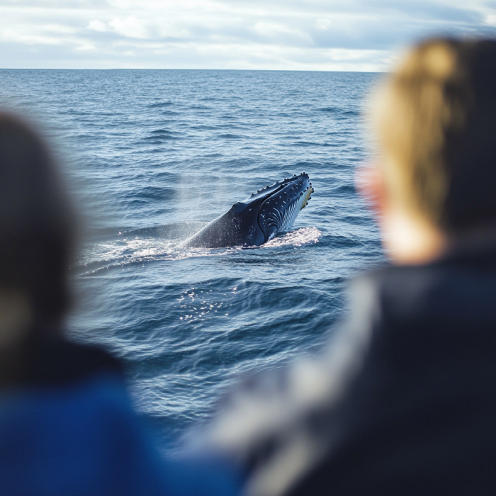
Make your Whale watching experience memorable enough to remember it even with closed eyes. in Ucluelet, you will have ample opportunities to encounter these gigantic marine creatures, and you may be lucky to observe other wildlife too. Those whale watching enthusiasts have the chance to attend the annual Pacific Rim Whale Festival happening at the Pacific Rim National Park Reserve, Ucluelet and Tofino on Vancouver Island's west coast.
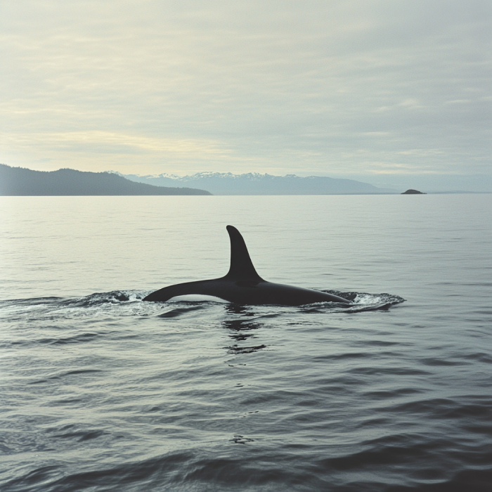
Make your adventure worthwhile on Vancouver Island by visiting Tofino and not missing its whale-watching opportunities for the world. You may have the chance to gaze upon Orcas, the most widespread marine mammal on the earth. Clayoquot Sound, located near the Tofino, is a sandy shoreline with rich rainforest.
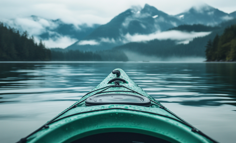
Welcoming kayakers from everywhere, Clayoquot Sound is a wild network of offshore islands, including alpine valleys, forests, rivers, lakes, and laidback beach towns. Rocky oceanfront coastlines with endangered and rare species living there have made this place a popular destination for paddlers who are not only satisfied by paddling and seek to experience other adventures.
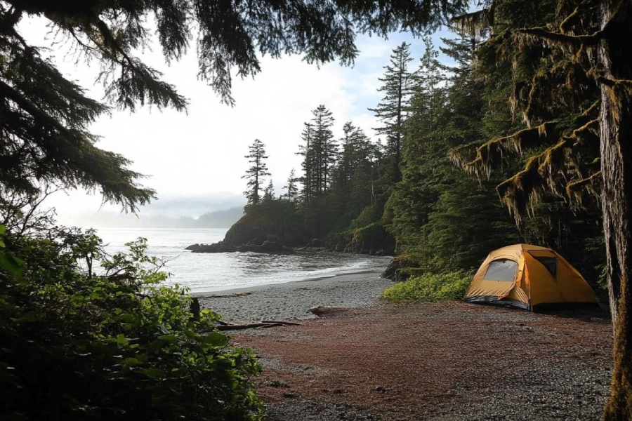
Find the inside campers of yours while you are camping in Wya Point Campground. In the heart of an oceanside forest, Wya Point Campground offers opportunities for camping, and you are given a chance to choose which campsite you want to spend time at. Crystal water, sandy cove, and tide rocks that offer marine life sights and several beachfront cabins and yurts with ocean-view are available in Wya Point, making it an ideal place.
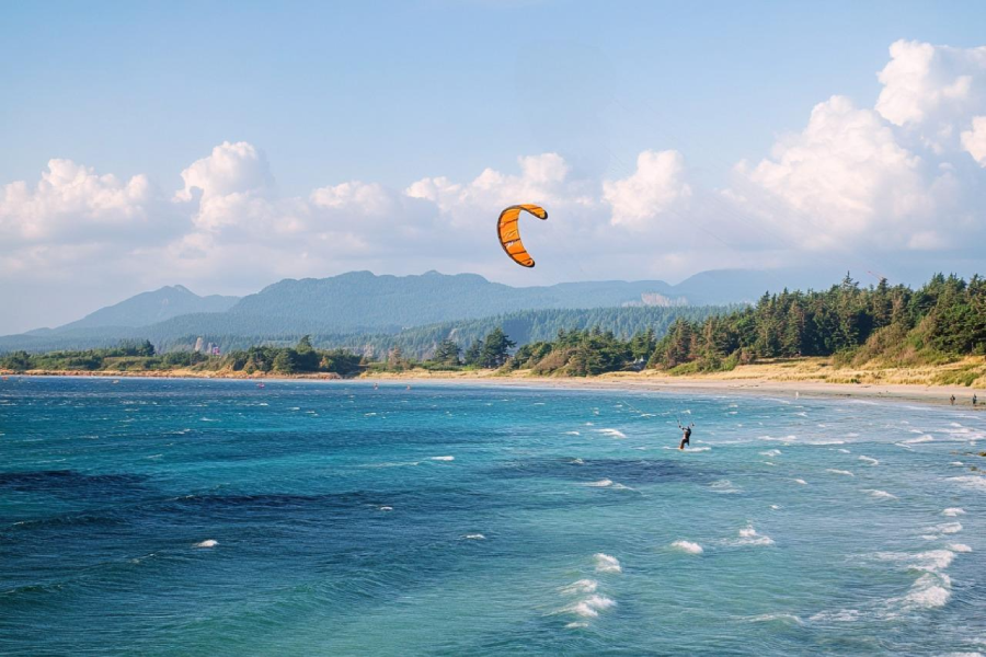
Great opportunities for kiteboarding are awaiting you in the realm of Cox Bay, no matter if you are an expert or a beginner. But beforehand, check the reports and wave directions. Besides, the magnificent beach of Cox bay offers an abundance of activities you may enjoy.
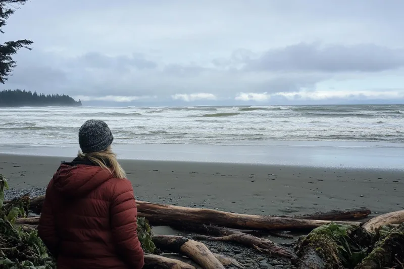
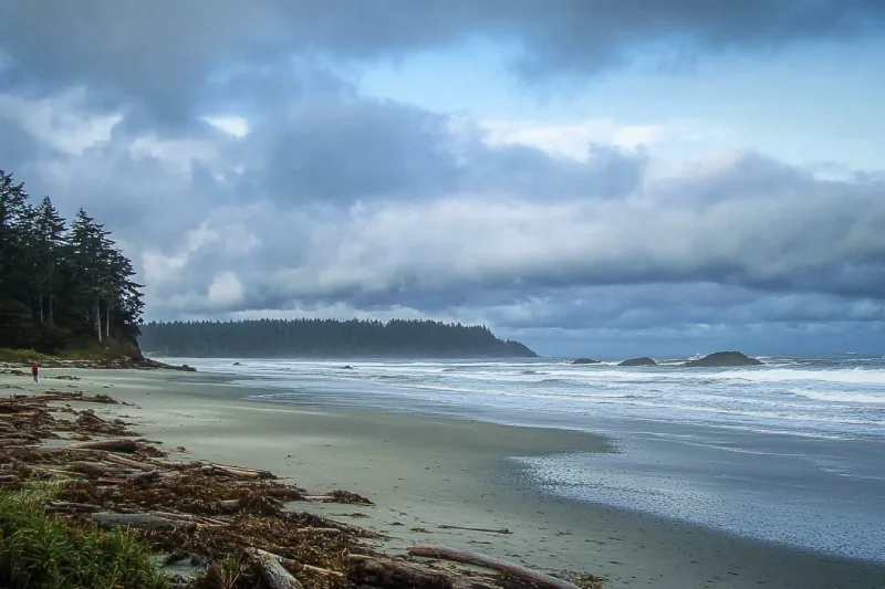
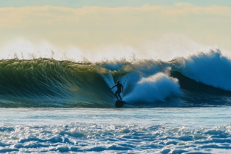
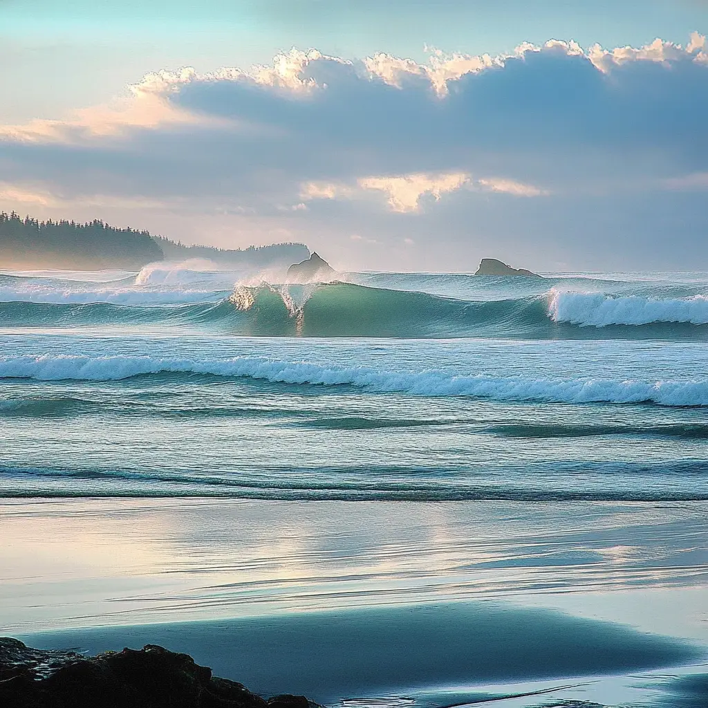
Big swells and harsh waves have made this quiet, beautiful beach a hot spot for storm watchers and surfers. So., let your journey lead you to Wickaninnish Beach, where you can meet your expectations of adventure and fun. It's a big beach for wandering on with a nice and long curving view. Wickaninnish Beach is a kid-friendly beach with high chances of observing diverse sea life. Then, do not miss it for the world.
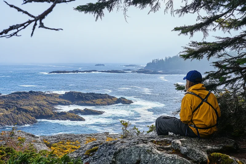
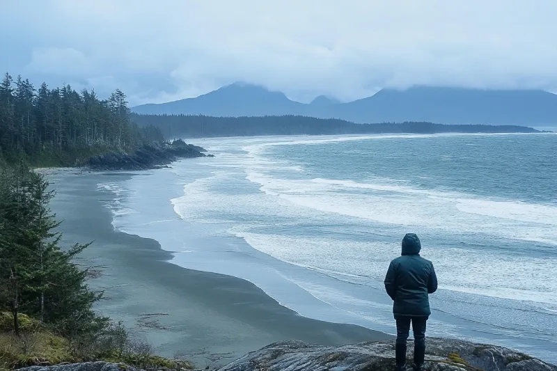
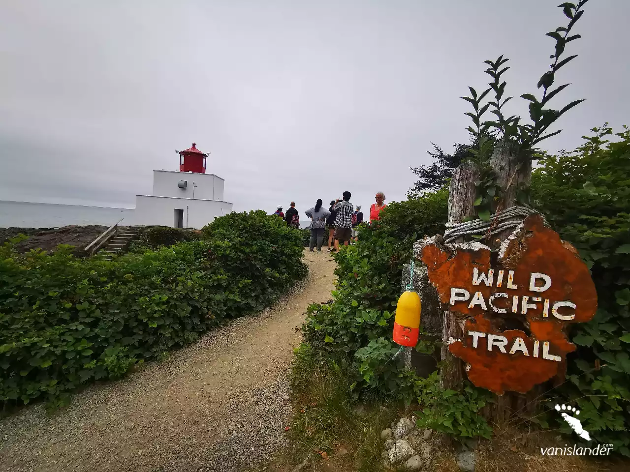
While hiking Wild Pacific, you are given a chance to enjoy a fantastic storm watching. With hurricane-force winds, both trails of Wild Pacific offer an excellent opportunity to watch storms. Not to mention that overlooking views are provided throughout the hike, which doubles the joy of walking on this long stunning trail.
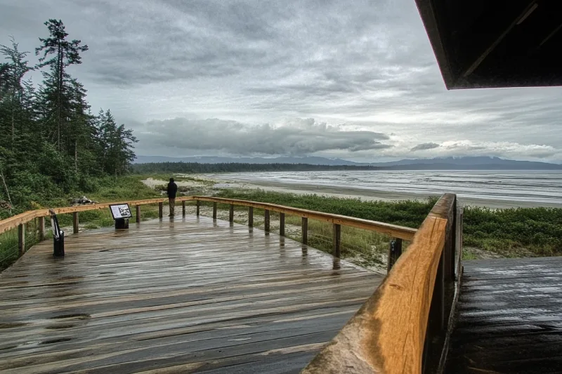
Have you ever experienced storm watching on a perched deck overlooking an eye-catching view of the Pacific Ocean? If not, Kwisitis Visitor Centre is awaiting you. As a beautiful exhibition for the natural and cultural patrimony of Pacific Rim National Park Reserve, this excellent Centre offers unforgettable storm watching right on the Pacific shores, which guarantees your fun and adventure.
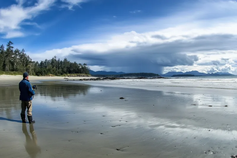
As one of the main recreational spots in the Pacific Rim National Park Reserve, Long Beach features strong waves pounding the beach. This quality has made this beautiful scenic beach a hot spot for surfing and storm-watching enthusiasts. It is a beautiful and pristine beach on which having a lounge time or walking feels rejoiced. You can lose yourselves in the sand of Long Beach and find them once again.
After a long relaxing time on Cox Bay Beach, away from all the stress from urban life, if your souls are looking for excitement, the storm-watching opportunity provided for you may be able to satisfy that need. This clean and peaceful beach offers you a pristine view of the sunset and the chance to watch the surfers skimming the water. It is a good idea to walk and feel the sand upon your feet.
Fulfil your desires for storm watching in Chesterman Beach, near which you can find another tremendous hot storm watching spot, right on the north, Wickaninnish Inn. Chesterman Beach, known for its biggest swells, is a hot spot to enjoy storm watching. Visit the beach in winter and feel the drops of the rain upon your chicks. Also, while you are lying on the beach, you can enjoy observing paddlers and surfers doing their thing on the water.
Lead an adventurous life and get on the road to experience new adventures. Wickaninnish Beach welcomes surfers from all around the world, and this beautiful sandy beach is a great place to forget about all the bills and responsibilities. If you are looking for more reasons that justify Wickaninnish Beach's superiority for surfers, you may consider the lack of rocks with barnacles.
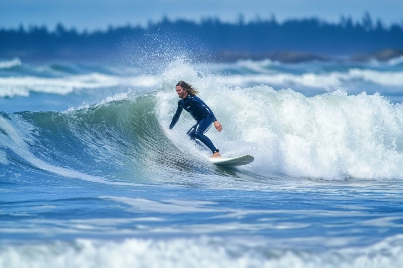
Every day in the round year, whenever you are on Vancouver Island and you crave surfing, Long beach welcomes you to its sandy realm. As one of the most popular recreational destinations on the island, Long Beach is one of the destinations for the hurricanes of the Caribbean, bringing some of the biggest and mightiest waves. This quality has made the beach a perfect place for surfers.
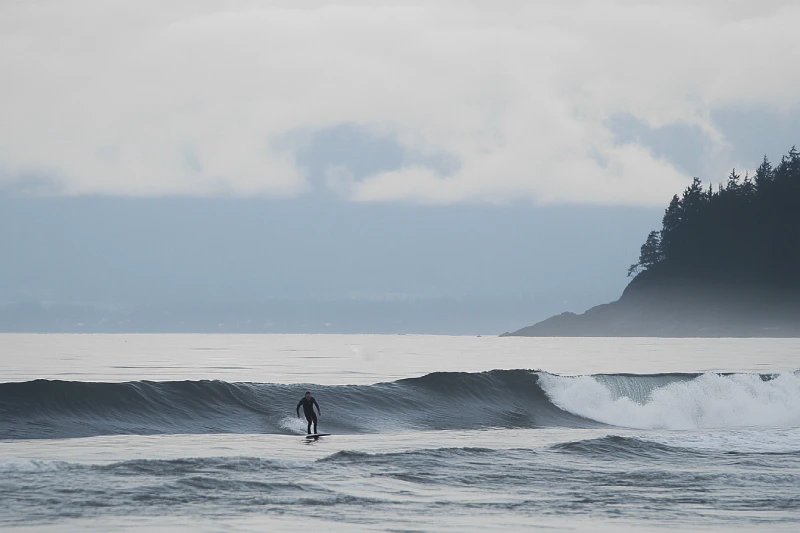
Start your surfing diary on Florencia Bay Beach, a fairly exposed shoreline that provides exciting and consistent surfing opportunities. Waves that come from different directions and hit the sandy beach and their quality are the prime triggers for you to start your surfing journey on this beach. The usual mellow waves are exceptional and fantastic, and they have made this beach a perfect place for surfing.
If you are a William, it would be amazing to explore and spend time on a beach with the shape of your first name's initial. Chesterman Beach (North), as one of the most-visited beaches on Vancouver Island, offers several recreational activities on its fabulous coastline. Surfing is one of the delightful adventures provided for you, allowing one to find seasonal tides on this stunning beach.
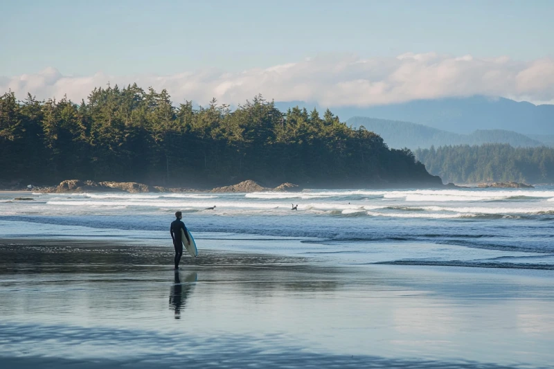
MacKenzie Beach, nestled south of Tofino on Vancouver Island’s rugged west coast, is celebrated for its expansive sandy shores and family-friendly calm waves, protected by natural rock outcroppings. Located in the heart of the Tla-o-qui-aht First Nation’s traditional territory, this pristine beach borders the Pacific Rim National Park Reserve, offering a perfect blend of surfing, storm watching, and serene picnicking. Just a short walk from Tofino’s vibrant village, MacKenzie Beach is a top destination for tourists seeking adventure and relaxation. This article covers how to visit, top activities, permit requirements, and travel tips to experience this iconic Vancouver Island beach, ensuring a memorable coastal getaway.
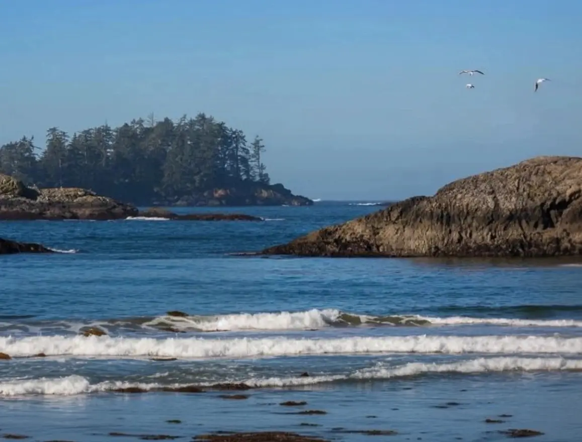
Radar Beaches is a pristine coastal destination in the Alberni-Clayoquot region of Vancouver Island, BC, that captivates visitors with its expansive sandy shores, rugged coastline, and abundant marine life. Perfect for surfers, beachcombers, and nature enthusiasts, Radar Beaches offers a secluded getaway where the power of the Pacific Ocean meets untamed natural beauty. In this comprehensive guide, discover detailed travel directions, essential visitor tips, permit information, and a range of activities to help you plan the ultimate coastal adventure on Vancouver Island.
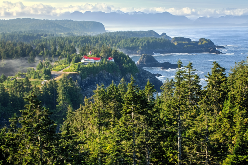
The first lighthouse established in BC by the Canadian government is the original Cape Beale Lighthouse. It was constructed on the rugged cliffs of the Pacific Rim. The whole complex consists of the keeper's house and the lantern tower. Visitors can access this station by the hiking trail. The lantern tower is not open to the public, but you can enjoy the surroundings and the panoramic views.
Ucluelet is a district municipality in Pacific Rim. After Victoria, the Pacific Rim area is the second most visited tourism centre on Vancouver Island. Ucluelet has a distinctive portion in this field with salt-water fishing, surfing, standup paddleboarding, whale and bear watching, kayaking, canoeing, camping, hiking, biking, swimming, storm watching, and beachcombing.

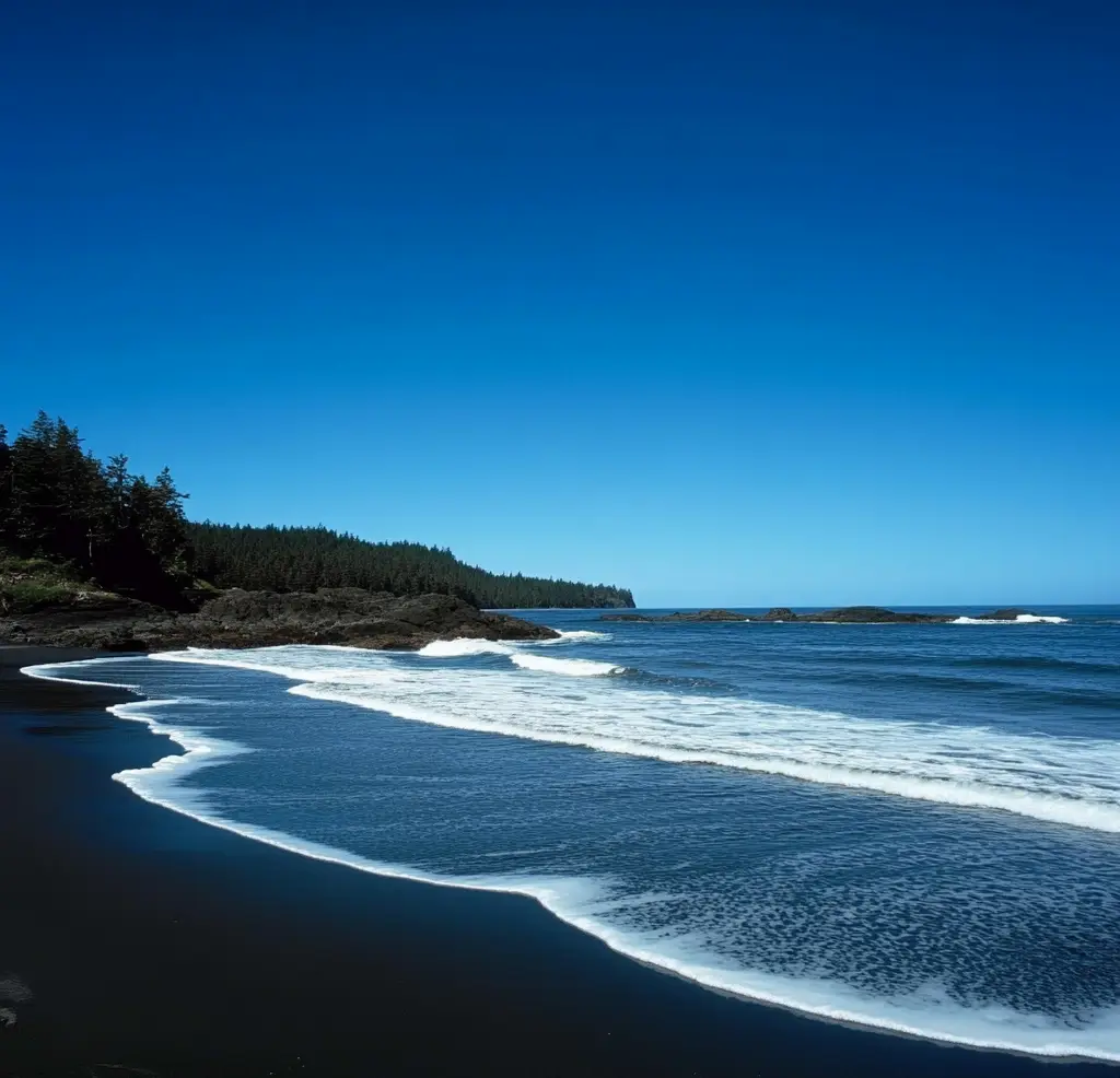
Wickaninnish Beach is a large stunning beach with sand dunes and access to the rainforest. Kilometres of sands make it possible to walk on the beach for a long time. Sit on the driftwoods or cliffs to rest and enjoy the view. It would be great staying there making a fire and watching the sun touch the ocean. This beach could be your excellent choice for swimming, storm watching, and surfing.
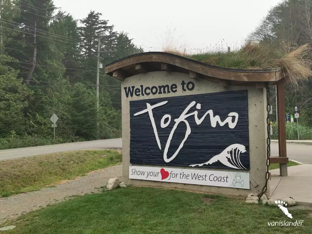
Tofino with its incredible sunset is a district on the west coast of Vancouver Island. It is busy in summer due to the various water sports. In winter many people come to Tofino to visit West Coast for storm watching and whale watching. The majority of the tourists are surfers, hikers, bird watchers, campers, whale watchers, anglers, and nature lovers.
With a stunning coastline, Maquinna Marine Provincial Park is a remarkable wilderness area. It has spectacular scenery, a pristine environment and a gorgeous boardwalk. Taking a walk through its old-growth rainforest leads you to Tofino Hot Springs Cove. Wilderness camping, coastal hiking, sea kayaking, swimming, and wildlife viewing are among what you can expect at the park.

When the water retreat, Chesterman Beach magic will show up. Be there to watch the underwater tunnels that turn to damp passageways. This hidden jewel is the Low Tide Sea Cave. While you are walking there, it almost feels like a sandy carpet on the floor. The passage to the cave is encompassed by rock walls moss-covered with trees on top. The scenery is worthy enough to be captured.
Long Beach is part of the Pacific Rim National Park Reserve. Its pristine coastal forest features trails suitable for hiking and biking. The park is one of the earliest and most popular surfing locations in British Columbia. Also, storm watching, bird watching and whale watching take lots of attention. Camping at the park makes it possible to get the most out of your visit.
Find your peaceful and scenic area somewhere between Kennedy Lake, the largest lake on Vancouver Island, and the Pacific Ocean. From freshwater to salty water, from beach to beach, is all the natural beauty of Kennedy Lake Provincial Park, making your beach-based recreation. It is a day-use destination, with an impressive lake and a beautiful intertwined forest.
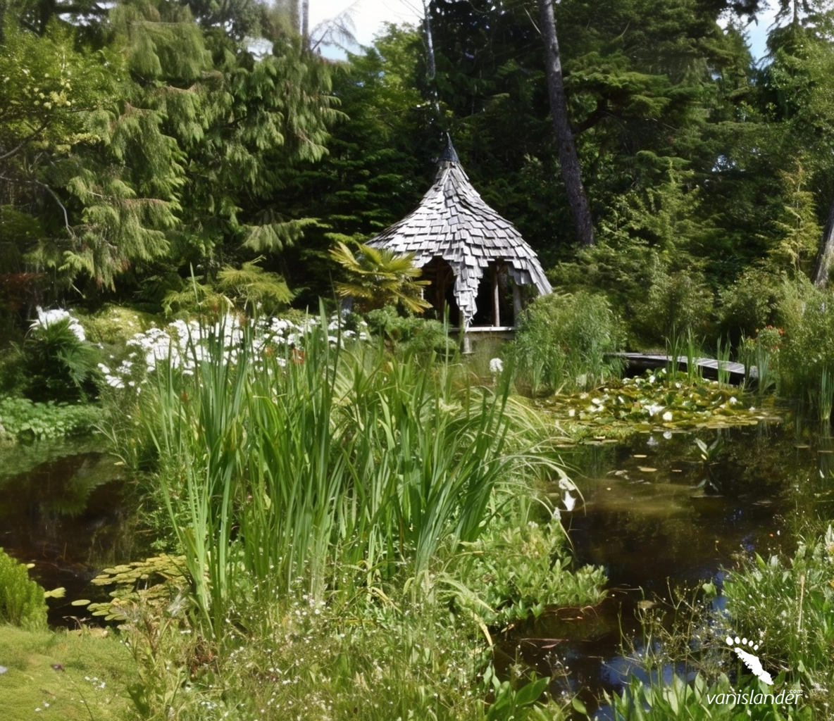
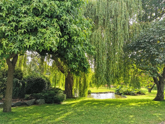
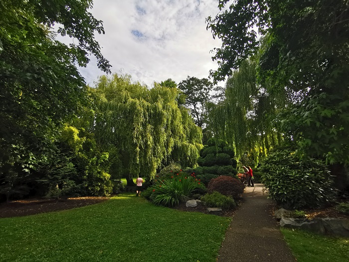
If you are interested in nature and culture, Tofino Botanical Gardens is a chance to learn. Strolling along waterside trails and watching beautiful plants is a great opportunity. Besides walking through stone paths and boardwalks, the herb and flower gardens give you a unique sense of freshness. Attending educational programs about the area's ecosystem is another choice you have.
In the wilderness area of Alberni-Clayoquot C, where you may have a plan for camping, there is Virgin Falls, a gift from nature to adventure lovers. An abundant fantastic forest surrounds this magnificent 53 m (173.8 ft) waterfall. The pool under the waterfall has crystal clear water with mesmerizing blue shades, perfect for swimming and photography.
Nature heals, and her secret is patience. Gibson Marine Provincial Park on Flores Island attracts many people worldwide to kayak and gives them gifts; natural hot springs, sandy beaches, scenery, and wildlife. Hike in old-growth Sitka spruce forest, camping, soaking in the hot springs, kayaking, swimming, fishing, hunting, and wildlife viewing are the things you can do at the park.
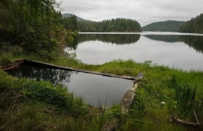
Ahousat Hot Springs is a tourist destination with therapeutic uses for adventure seekers and nature lovers. Clear and tasteless water, room temperature, and excellent atmosphere put the hot springs into one of the most splendid sites for a relaxing experience. Soaking in hot springs despite several therapeutic benefits they have should be done by considering health conditions.
The beach is an excellent spot for challenging your talents out in the ocean and find happiness in salty waters. Cox Bay Beach is a great place for surfers also where you can do other water-based activities you desire. If you prefer walking beach to beach, start from Cox Bay Beach toward Chesterman Beach, one of the most visited beaches on Vancouver Island.