Mount McBride is the seventh highest mountain on Central Vancouver Island, neighbouring Golden Hinde as the tallest summit to its west. At 2083 m (6834 ft.), the pillared McBride Mountain is jutted to the sky as if the Rockies were transplanted there while seeing it from a viewpoint at Buttle Lake. The vertical cliffs of the east aspect of Mount McBride drop over Marblerock Canyon and Copper Bush Lake hundreds of meters.
Mount McBride lies in Strathcona Provincial Park, almost 5.5 km (3.4 miles) west of Buttle Lake's approximate center. The mountain sits above Marblerock Lake, and it drains at the end of a ridge that stretches south with Greig Ridge and Philips Ridge. For those aiming to climb the Golden Hinde, the ridge system forms the basis of the eastern approach. The mountain's attraction is completed with the limestone terrain, karst sinkholes, caves, and fossil galore.
Access to the mountain is by paddling across Buttle Lake and then via graded Marble Meadows Trail. Mountaineers can treat Marble Meadows as the base camp to the Mount McBride summit. From the Marble Meadows Plateau's average height, it is approximately 600 meters to the summit of Mt McBride. Atop Mount McBride, the 360° panoramic view of Strathcona Provincial Park is rewarding, besides vistas of the highest mountains on Vancouver Island, including Golden Hinde, Mt Colonel Foster, King's Peak, Elkhorn Mountain, and Rambler Peak. Also, Warden Peak and Victoria Peak loom over in distance when the weather is fine.
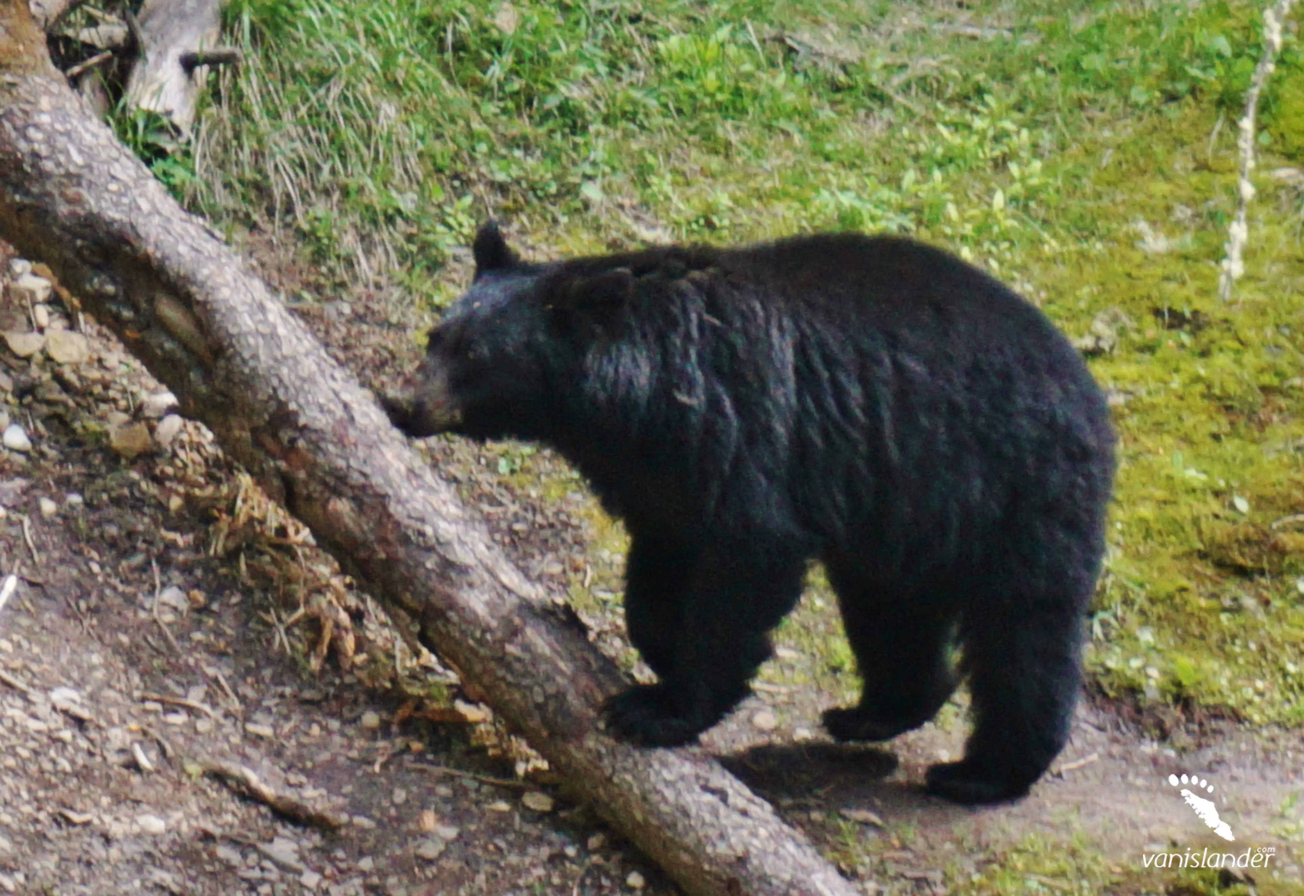
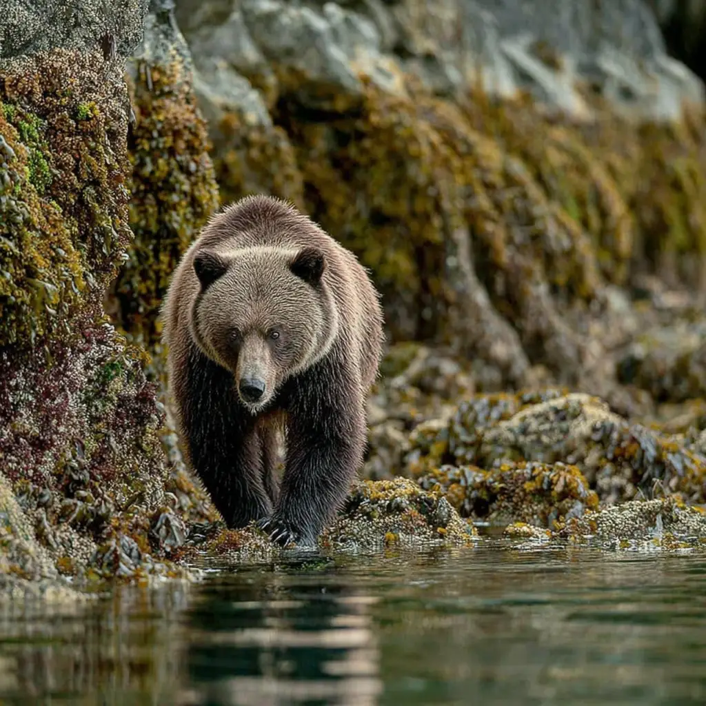
There are unlimited nature appreciation opportunities at Mt McBride and Strathcona Provincial Park. As the home of various wildlife creatures, wolves, black bears, Roosevelt elk, marmot, black-tailed deer, and cougars can be found there. Beautiful birds are bountiful, including red-breasted nuthatch, Steller's jay, chestnut-backed chickadee, winter wren, kinglet, blue grouse, white-tailed ptarmigan, Canada jay, and ruffed grouse. The gnarled old-growth trees, such as Douglas fir, amabilis fir, western redcedar, grand fir, mountain hemlock, western hemlock, and creeping juniper, may be seen within the boundary of Strathcona Provincial Park at Mount McBride.
Mount McBride sits in the Comox-Strathcona D region, on central Vancouver Island about 5.5 km (3.4 miles) west of Buttle Lake's approximate center. The mountain is 9 km (5.5 miles) east of the Golden Hinde, the highest mountain on Vancouver Island. Several lakes scatter in the area, on which mountaineers can pitch a camp at the designated areas through the remote wilderness. The lakes that dot Mount McBride and the nearby areas are Copper Bush Lake, Hellebore Lake, Wheaton Lake, Marblerock Lake, Globe Flower Lake, Marsh Marigold Lake, and Limestone Lake.
Marble Meadows can be treated as a base camp to approach Mt McBride and Golden Hinde Mountain. Should mountaineers intend to continue at a slower pace, the designated campsites at the gorgeous lakes are worthy of pitching a camp and stopping awhile.
One of the most popular destinations not far away from Mount McBride is Elk River Trail. It is a well-maintained trail that colourful birds garnish. The trail passes through the old-growth forest past crystal mountain streams and waterfalls.
Ending at landslide lake, hikers will find themselves at Mt Colonel Foster's base and the south face of Elkhorn Mountain. No camping is allowed at landslide lake due to its being a fragile wilderness, and care must be taken to leave no trace while visiting there. Hikers can camp at two designated campsites featuring bear caches and pit toilets along the Elk River Trail.
Two beautiful Lupin Falls and Myra Falls are located along Buttle Lake. The waterfalls' pristine and lush environment is worthy of spending some time at and stroll along. The well-looked routes to the waterfalls are set through the wilderness, passing around small lakes and tarns. There can be seen a diversity of flora and fauna and western redcedar, Douglas firs, and grand firs. One of the highest waterfalls, which has a drop of 440 m (1443 ft.) over three cascades, is located within Strathcona Provincial Park.
Visitors can take in the vivid natural beauty of Strathcona Provincial Park from several viewpoints, including Lady Falls, Karst Creek, Lupin Falls, Lower Myra Falls, and Upper Myra Falls. There may be seen cougars, black bears, Roosevelt elk, Bald eagles, Trumpeter swans, white-tailed ptarmigan, squirrels, black-tailed deer, and whiskey-jacks.
The White Ridge Park, situated 23 km (14.2 miles) northwest of Mount McBride, is known for its extensive cave system and karst surface. The park is home to old-growth trees and Roosevelt elk and deer habitat. Gold River village is located 29 km (18 miles) northwest of Mount McBride. Campbell River city to the northeast and Courtenay to the southeast are respectively 44 km (27.3 miles) and 48 km (29.8 miles) away.
Initial access to Mount McBride is by setting your canoe or kayak in Buttle Lake at Augerpoint day-use area or by powerboat that can be launched at Karst Creek a few kilometres beyond Augerpoint.
From Nanaimo:
Getting to the Auger Point from Nanaimo is via BC-19 N, a 223 km (138.5 miles) route that takes almost 2 hours and 40 minutes.
Head west on Fitzwilliam St and continue 800 m (2624 ft.) toward Wesley St. Continue onto Third St and drive 1.9 km (1.1 miles). Follow Jingle Pot Rd for 650 m (2132 ft.). Turn right onto BC-19 N (signs for Campbell R) and drive 151 km (93.8 miles). Turn left onto Island Hwy/BC-19A N (signs for BC-28 W/Gold River) and go on for 150 m (492 ft.). Continue onto Campbell River Rd/Gold River Hwy/BC-28 W for 47.3 km (29.3 miles). Drive straight onto Westmin Rd and go on 20.5 km (12.7 miles) to reach your destination.
From Victoria:
The fastest route from Victoria to Auger Point is Trans-Canada Hwy/BC-1 N and BC-19 N. It is a 333 km (206.9 miles) route that takes almost 4 hours.
Take Government St to Trans-Canada Hwy/BC-1 N for 1.2 km (0.7 miles). Follow Trans-Canada Hwy/BC-1 N and BC-19 N to Island Hwy/BC-19A N in Campbell River and drive 264 km (164 miles). Take Gold River Hwy/BC-28 W to Westmin Rd in Comox-Strathcona D and continue for 68 km (42.2 miles) to reach Auger Point.
One of the most popular trails on Vancouver Island is "Elk River Trail." It starts at Elk River, stretches 21.2 km (13.1 miles), crossing beautiful waterfalls, turquoise lakes, and mountain streams. It is an out-and-back trail with gradual ascend, gaining an elevation of 1027 m (3369 ft.). Elk River Trail is primarily used for hiking, backpacking, running, and camping.
Two campsites are set along the path. The first one was at 7.5 km (4.6 miles) and the second one at 11 km ( 6.8 miles). 3 km (1.8 miles) further from the second campsite, is located at Landslide Lake and 2 km (1.2 miles) more is Berg Lake. Leaving the second campsite, the hike towards Landslide Lake and Iceberg/Foster Lake gets challenging, with more slippery and rocky paths. The trail is best used from June through August.
Mount McBride was named for Sir Richard McBride, who is considered the founder of the Conservative Party of British Columbia. The mountain's first ascent may have been in 1926 by Leroy Stirling Cokely, and the first winter ascent is still unknown.
Strathcona Provincial Park and Mount McBride are home to the traditional territory of the people of the Muchalaht and Mowachaht, The Nuu-chah-nulth First Nation. The legends and culture of these people are rooted in the mountains and lakes throughout the area.
Visiting Mount McBride on central Vancouver Island will be a unique adventurous experience. Since the mountain sits west of Buttle Lake and the areas around it are dotted with gorgeous lakes, there are many things to do. Activities to enjoy around Mount McBride include fishing, canoeing, kayaking, hiking through winding streams and beautiful nature, to name a few.
To the west of the mountain, you can paddle a whole day in the pleasant ambiance of Buttle Lake or stroll along the lake along with perfect catches of trouts. The area is best used for wildlife viewing due to its being home to lovely mountain creatures. A diversity of flora and fauna and birds are ornamenting the forests and trails. Cavers can also take a visit to White Ridge Provincial Park, which is known for its extensive cave system.
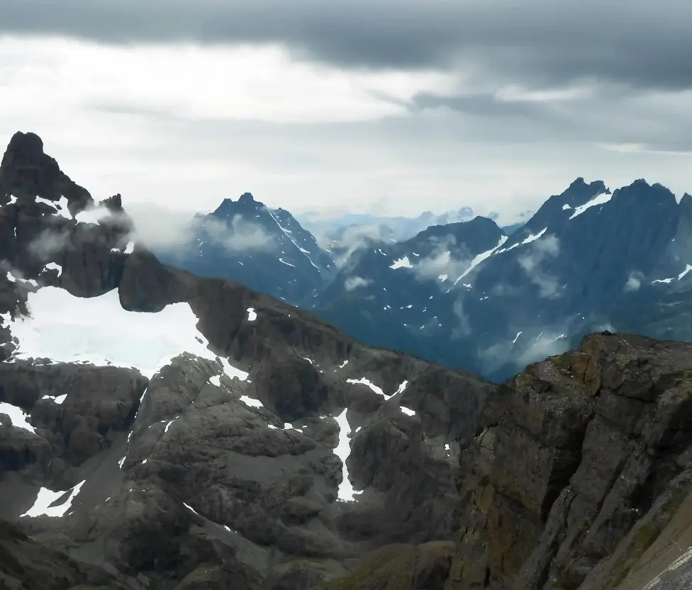
Kings Peak is a mountain peak that stands guard high in the Strathcona Provincial Park on central Vancouver Island. It is a double-peaked glacial mountain at 2065m (6775 ft.). The eastern peak is the higher one called Kings Peak, and the western one is Queen's Ridge. A demanding trail makes it to the summit of Kings Peak, offering scenic views. The trail starts at 304.8 m (1000 ft.), climbing 1737 m (5700 ft.) over scree fields, tree roots, undulating hills, gullies, and meadows. The first and lower portions of the trail are well-maintained gives the chance to warm up. It passes a couple of waterfalls and gorgeous streams where you can take a breather.
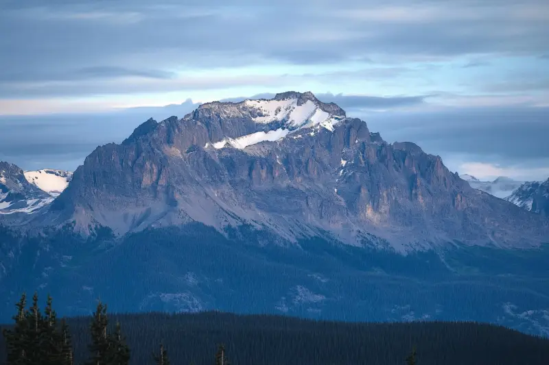
Mount McBride with 2083 m (6834 ft.) height is the seventh highest mountain on Central Vancouver Island. Atop Mount McBride, the 360° panoramic view of Strathcona Provincial Park is rewarding, besides vistas of the highest mountains on Vancouver Island, including Golden Hinde, Mt Colonel Foster, King's Peak, Elkhorn Mountain, and Rambler Peak.
Elkhorn Mountain is located in the Elk River Mountains of the Vancouver Island Ranges. It is the second-highest peak on Vancouver Island at 2194 m (7198 ft.) elevation. Atop of the Elkhorn Mountain, the commanding views of mountain peaks surrounding overlooking the Pacific Ocean and the Strait of Georgia are rewarding, as well as splendid Strathcona Provincial Park.
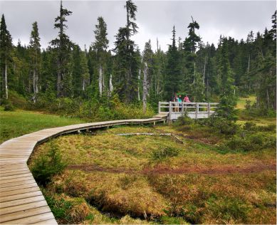
The Pierce Range is small and steep-sided in the center of Vancouver Island. Hikers can pass through trees covering steep hills packed with bountiful wildlife and colourful birds winding around lakes and tarns along creeks and rivers. Up at the peaks, the scenery is surrounded by mountains. Spectacular views overlooking the Muchalat channel and Victor Island is inspiring.
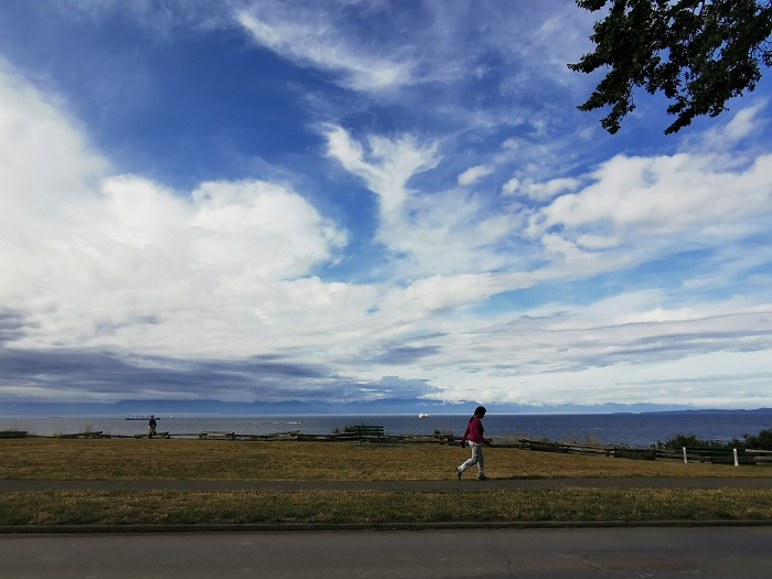
The Elk River Mountains is a group of rugged mountains in Strathcona Provincial Park suitable for camping and outdoor activities. Elkhorn Mountain is the highest peak of the mountains and the second-highest peak on Vancouver Island. It is an extraordinary destination for professional and amateur climbers; the difficulty is from simple to somehow challenge slopes.

As one of the highest points of Vancouver Island, Mount Adrian offers great snowmobiling, among other winter activities. It has two summits that feature Strathcona Provincial Park in every direction—looking for a place to have winter excitement? Nowhere is better than Mount Adrian.
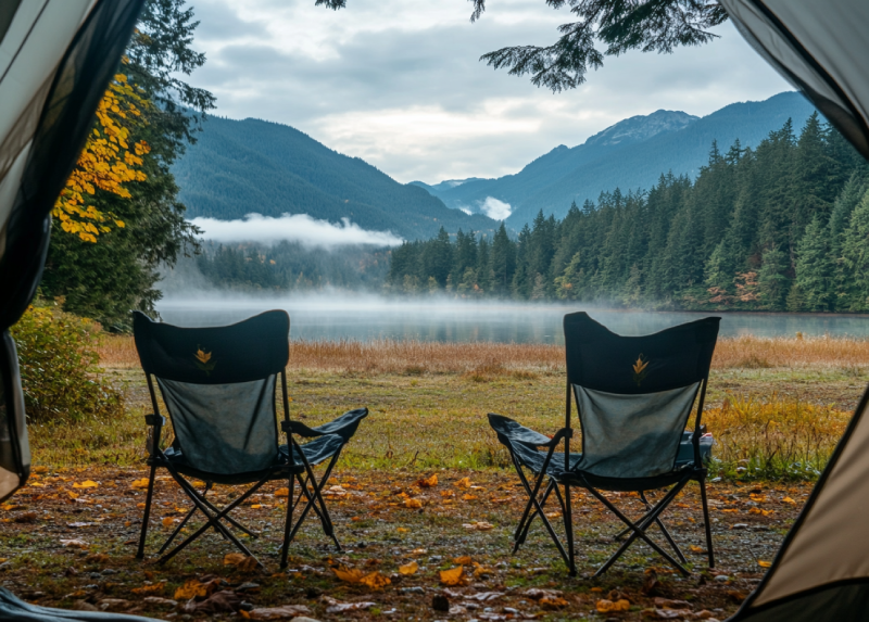
Home to many campsites with all kinds of facilities and services right on the shoreline, Buttle Lake campground offers you the best opportunities to explore the shore. There you can do a lot of activities and enjoy seeing marine creatures.
Annually, the campground welcomes RV and vehicle campers. Also, you can have a good time camping in your tents.
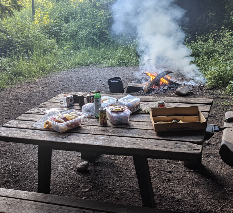
Camping in Ralph River Campground offers a bit more comfortable experience of exploring the park. It's adjacent to Buttle Lake, with numerous campsites all along the glorious shoreline of it. It is where you will feel a sense of being in the wilderness with beautiful sights and spectacular views from several sites over the valleys.
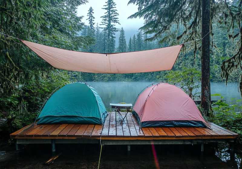
Located in the Strathcona Provincial Park near Bedwell Lake, camping is possible in a nice backcountry campground on Baby Bedwell Lake, set in the lush forest surrounded by majestic mountains. Beautiful alpine forest, perfect swimming, breathtaking view of the trail, small ponds and lakes surrounded by glacial mountain peaks are some of the area's attractions. They are enough to fascinate visitors and campers.
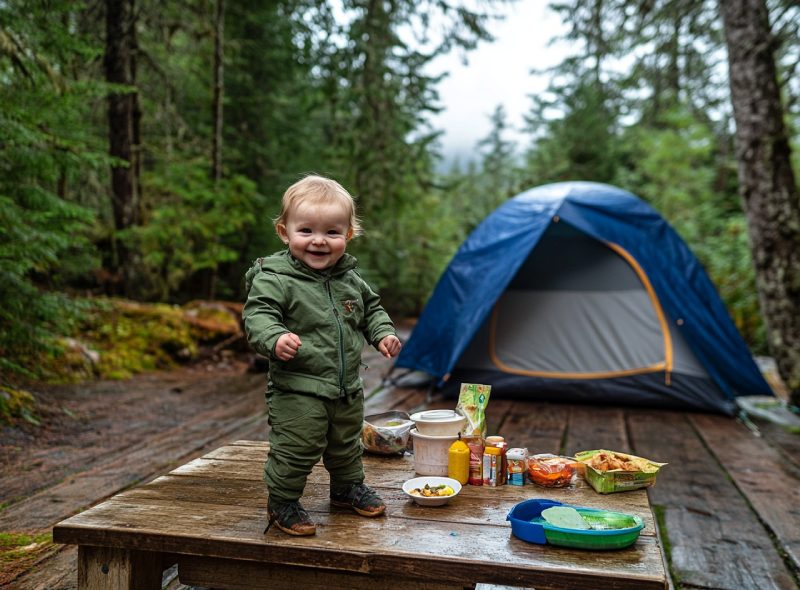
Known as the base camp to explore the area, Bedwell Lake Campground comprises excellent tent campsites. There you can climb surrounding mountains and hike gorgeous, well-maintained trails. Bedwell Lake Campground would be excellent for backcountry adventures. It has lovely glacial mountain views.
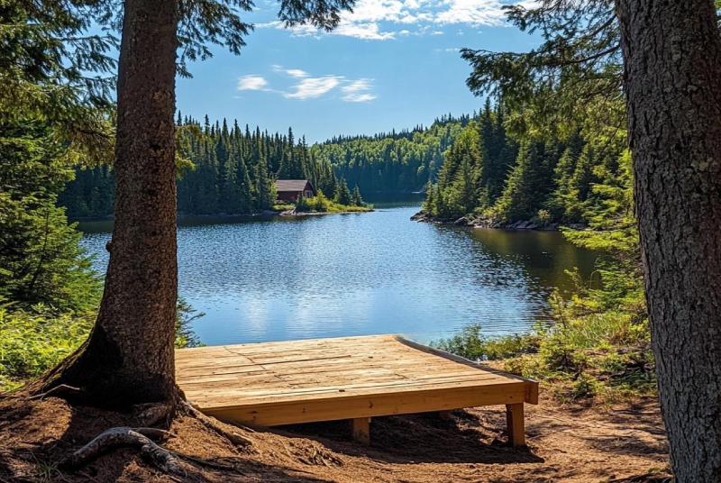
The Croteau Lake Campsite is the first backcountry group site accepting reservations, Located within Strathcona Provincial Park in Forbidden Platea. You will have to hike into this lovely remote campground which features a brand new yurt. Nestled in the sub-alpine of Strathcona, Croteau Lake Campsite is surrounded by jagging glacial mountain peaks, and you will experience a sense of peace and seclusion.
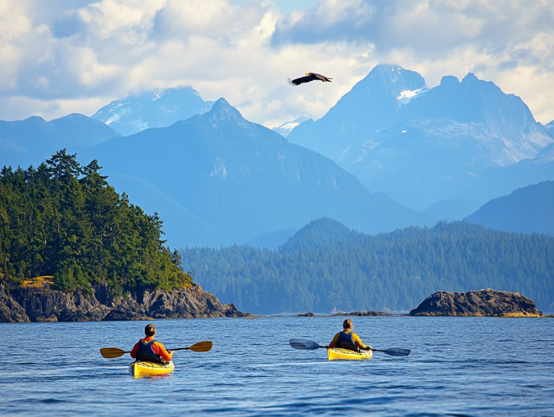
To be a storyteller of paddling adventures, do not leave out Bligh Island Marine Provincial Park. This stunning historical park leaves you speechless about its undeniable opportunities for kayaking and canoeing. Bligh Island Marine Provincial Park is known for its coastal forests and marine ecosystems, in which you are provided with several unique outdoor activities.
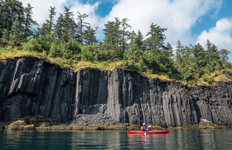
If paddling is frightening for you, make it normal while you are in Nootka Sound. It s worthy of mentioning that while paddling in the waters of Nootka Sound, you are given the pleasure of observing the birth point of BC, Yuquot. Nootka Sound is known as the paradise of the paddlers, and its island provides an extraordinary situation in which an astonishing adventure is waiting to be embraced.
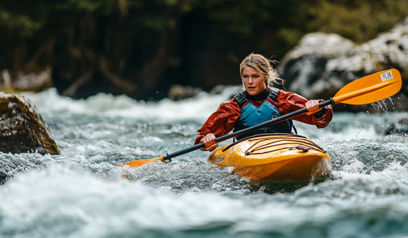
Gold River is an excellent destination for paddling by all means. There are ample reasons which can trigger you to go kayaking and canoeing in this river. Its crystal clear water allows you sea the beauties lied underneath the surface. Besides, kayakers and canoeists can have fun doing other activities along with paddling in the water.
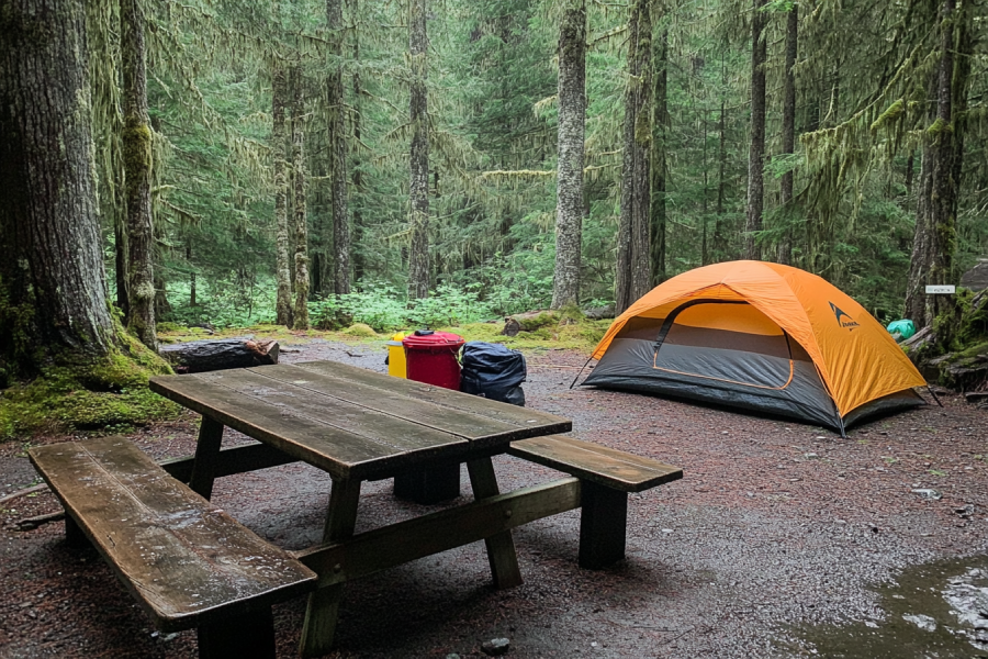
As the oldest provincial park on the island, Strathcona Provincial Park Campground will be a memorable wilderness adventure. Every day you spend on this beautiful campground is a different new day, for you can experience any adventure and never get sick of it. As a hot spot for camping, you are given a chance to choose the setting of your campsite.

.webp)

Kings Peak is a mountain peak that stands guard high in the Strathcona Provincial Park on central Vancouver Island. It is a double-peaked glacial mountain at 2065m (6775 ft.). The eastern peak is the higher one called Kings Peak, and the western one is Queen's Ridge. A demanding trail makes it to the summit of Kings Peak, offering scenic views. The trail starts at 304.8 m (1000 ft.), climbing 1737 m (5700 ft.) over scree fields, tree roots, undulating hills, gullies, and meadows. The first and lower portions of the trail are well-maintained gives the chance to warm up. It passes a couple of waterfalls and gorgeous streams where you can take a breather.
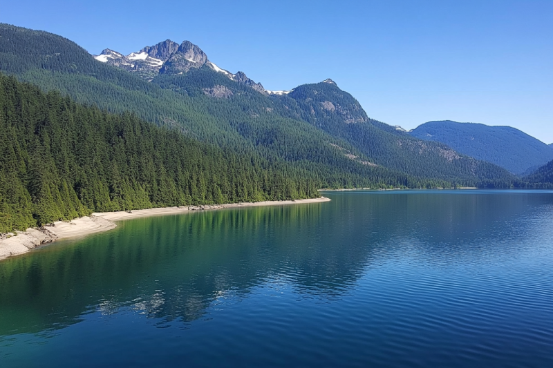
Are you struggling with spending a ton of time searching for the best family-friendly vacation? Then you need to visit Buttle Lake and get better results camping around it. Learn how Buttle Lake gives you an unfair advantage with camping, swimming, canoeing, kayaking, and fishing in Strathcona Provincial Park, the oldest provincial park on Vancouver Island.

Mount McBride with 2083 m (6834 ft.) height is the seventh highest mountain on Central Vancouver Island. Atop Mount McBride, the 360° panoramic view of Strathcona Provincial Park is rewarding, besides vistas of the highest mountains on Vancouver Island, including Golden Hinde, Mt Colonel Foster, King's Peak, Elkhorn Mountain, and Rambler Peak.

Elkhorn Mountain is located in the Elk River Mountains of the Vancouver Island Ranges. It is the second-highest peak on Vancouver Island at 2194 m (7198 ft.) elevation. Atop of the Elkhorn Mountain, the commanding views of mountain peaks surrounding overlooking the Pacific Ocean and the Strait of Georgia are rewarding, as well as splendid Strathcona Provincial Park.
Going deep into the forest is worthy enough to visit the stunning Upana Caves. Listen to the sound of a river passing by and detect several entrances with the famous one behind the spectacular Upana Caves Waterfall. Inside entrances, you may find birds' nests. Watch the evidence of years of existence by holes like the one in cheese. The stunning galleries and passages you'll explore while going down would be incredible.

The Pierce Range is small and steep-sided in the center of Vancouver Island. Hikers can pass through trees covering steep hills packed with bountiful wildlife and colourful birds winding around lakes and tarns along creeks and rivers. Up at the peaks, the scenery is surrounded by mountains. Spectacular views overlooking the Muchalat channel and Victor Island is inspiring.

The Elk River Mountains is a group of rugged mountains in Strathcona Provincial Park suitable for camping and outdoor activities. Elkhorn Mountain is the highest peak of the mountains and the second-highest peak on Vancouver Island. It is an extraordinary destination for professional and amateur climbers; the difficulty is from simple to somehow challenge slopes.
Strathcona Provincial Park is a large mountainous natural park and the oldest provincial park in British Columbia. Excellent hiking trails, coastal areas, lakes, creeks, waterfalls, snow-capped peaks, and wildlife made this park a perfect destination for adventurous travellers. Summers are usually pleasantly warm, and winters are almost mild except for the higher levels. So, it is a great place to recharge.
Words cannot describe Lupin Falls because this waterfall's beauty is beyond the world of vocabulary. The water pours gracefully on rocks and carving its way into the hard rock cliff. A forest surrounds the two drops of Lupin Falls and adds to its wonders. Visiting Lupin Falls is a big bonus as it is placed in Strathcona Provincial Park with a lot to offer.

Find peace at the bottom of a waterfall where there will be the magic of nature all around you. Lady Falls is a rare sight of beauty and grace. The crystal clear water runs through a lush forest, reaches a rock cliff surrounded by trees, and pours down into a canyon. From afar, it feels like the water is cascading from the trees. The combination is enough for cleansing the mind, soothing the soul, and being there for hours.
In the south end of Buttle Lake at Strathcona Provincial Park, you can find Myra Falls (or Lower Myra Falls), a Jewel of natural wonders. This seven-drop waterfall is beautiful all year round, and it feels like you're in a land of fantasy. The tremendous view of the place and shades of green and blue of the pool under the falls make a great scene perfect for photography.