The Pelham Range is a 52 square kilometres (20 sq miles) small hill range located in the northeast of the Sarita community between Alberni Inlet and the Sarita River.
Sarita River watershed includes parcels of the Pelham Range, which is adjacent to the Alberni Inlet. The watershed includes Sarita Lake Fredrick Creek, Sabrina Creek, and several smaller tributaries that drain Sarita Lake.
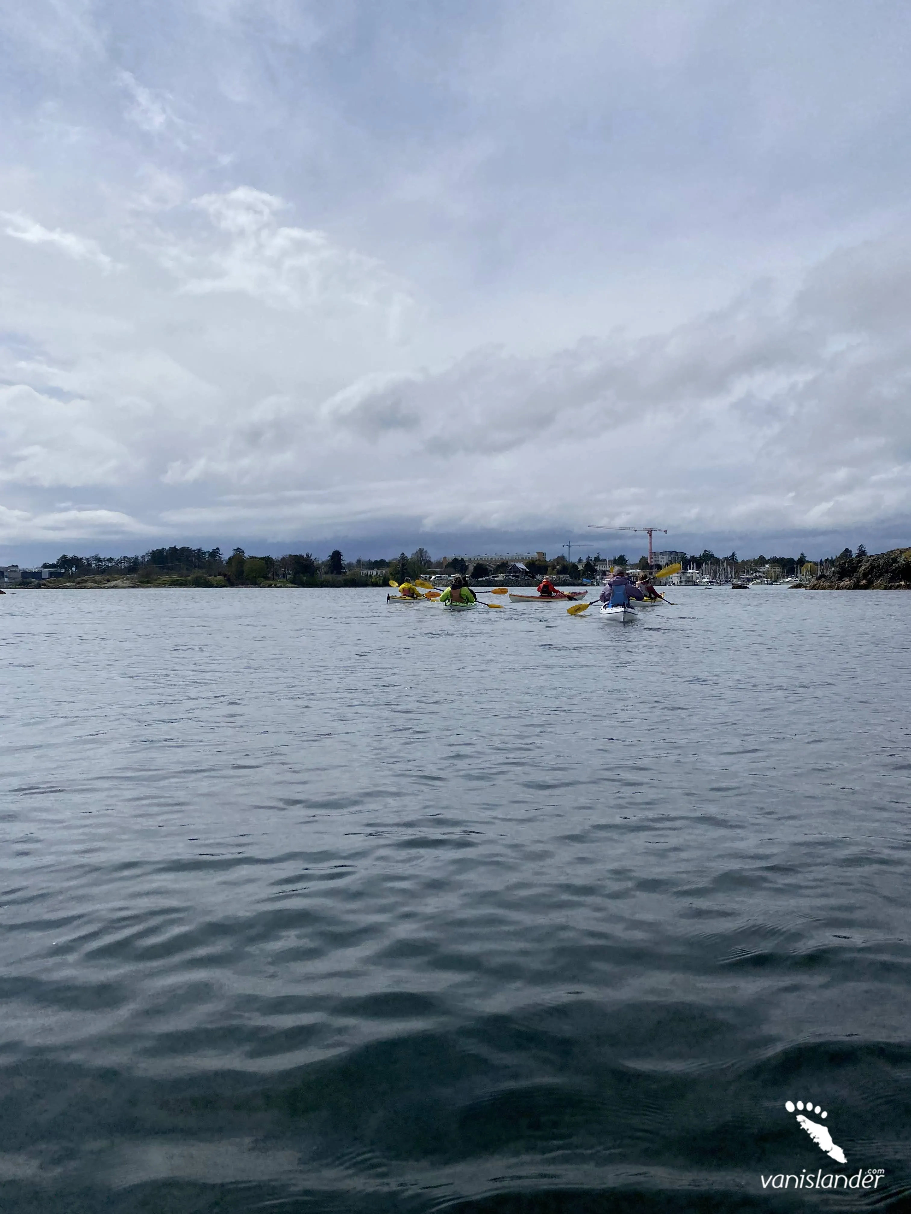
The Pelham Range is a paradise for mountaineers seeking an isolated area and seclusion. They can spend some days camping in peace on lakes or through the wilderness. Paddling and fishing a whole day in the calm waters with a pleasant ambiance ornamented by colourful birds are among other options.
Visitors would have a perfect time walking through the forest around gorgeous creeks and lakes and visiting the spectacular series of Sarita Falls surrounded by rainforest.
Climbing the mountains would be fascinating, passing through hills covered with beautiful trees.
The Pelham Range area experience heavy rainfalls and mild temperatures, which result in the rainforest. Due to the area's exposure to heavy winds with low elevations and sunny summers, sturdy and large Sitka spruce, red-cedar and hemlock are abundant.
Many wildlife and birds exist in the area, such as cougar, black bear, and Roosevelt elk. At the west coast and nearby Pacific Rim National Park Reserve, whales, grey whales, seals, and stellar sea lions are copious.
The Pelham Range offers a memorable experience steeped in history and nature. The Sarita River watershed lands, which include most parcels of the Pelham Range, are owned by Huu-ay-aht First Nation and other private lands as Crown Land by Island Timberlands.
The Pelham Range is located on the west side of Vancouver Island between Alberni Inlet and Sarita River parcels within the Sarita River watershed. The range is northeast of the Sarita community adjacent to the Alberni Inlet, with several creeks and lakes within and nearby.
The Sarita River watershed consists of Sabrina Creek, Fredrick Creek, South Sarita River, and smaller tributaries draining to Sarita Lake as Miller, Thompson, Central, and Hunter Creeks. The lakes within the watershed are Sarita Lake at the watershed's center; Bewlay Lake drains to Sarita Lake and Fredrick Lake in the lower part of the watershed.
While visiting the Pelham Range, a series of spectacular waterfalls with 12 m (40 ft.) to 18 m (60 ft.) drops are located near the river. They offer perfect paddling with a stunning atmosphere and temperate forest surroundings.
Fish species such as trout, Coho, chinook, chum salmon, cutthroat, and steelhead are abundant in the watershed creeks and lakes, giving perfect fishing opportunities.
Pacific Rim National Park Reserve is located 22 km (13.6 miles) west of the Pelham Range, which protects gnarled red-cedar, Sitka, and hemlock trees. It would be fun visiting bountiful species of wildlife, birds, and marine creatures.
Should you have time, check out Carmanah Walbran Provincial Park 35 km (21.7 miles) southeast of the Pelham Range, and enjoy several hiking trails garnished with bountiful wildlife and colourful birds inducing a sense of freshness. You can even have a serene time camping in the wilderness.
Bamfield is the nearest community to the Pelham Range.
From Nanaimo:
Getting to the Pelham Range from Nanaimo is via BC-19 N. It is a 153 km (95 miles) route and takes about 2 hours and 47 minutes.
Take BC-19 N and BC-4 W to Franklin River Rd for 87.1 km (54.1 miles). Continue on Franklin River Rd and drive 66.1 km (41 miles) to your destination in Alberni-Clayoquot A.
From Victoria:
The fastest route to get to the Pelham Range from Victoria is via Trans-Canada Hwy/BC-1 N. It is a 193 km (119.9 miles) route and takes almost 3 hours and 28 minutes.
Take Trans-Canada Hwy/BC-1 N, Cowichan Valley Hwy/BC-18 W and Youbou Rd to N Shore Rd in Cowichan Valley I and drive 125 km (77.6 miles). Continue N Shore Rd for 67.6 km (42 miles) to your destination in Alberni-Clayoquot A.
Hikers would experience a perfect stroll along the west coast of Vancouver Island through the "West Coast Trail." The point-to-point 75.3 km (46.7 miles) trail is heavily trafficked out. It offers excellent hiking through the pleasant ambiance of moderate rainforest packed with wildlife and colourful birds. The West Coast Trail is used for backpacking, hiking, and camping and is rated as difficult gaining an elevation of 1822 m (5977 ft.). The best time to hike the trail is from May through September.
Pelham Range area is home to the traditional territory of the Huu-ay-aht. These people's legends and culture are rooted in the mountains and lakes within the Pelham Range and areas around.
While visiting the Pelham Range, you would be fascinated by incredible mountains. They have a beautiful vista overlooking the Alberni Inlet and gnarled trees wrapping the hills of surrounding mountains.
Mountaineers will experience excellent climbing the range's mountains and hiking through the temperate rainforest, passing the lakes and tarns.
Chances for paddling and fishing of various types exist in the crystal clear waters and pleasant environment of the lakes and creeks within and around the Pelham Range.
You can pitch a camp in the area and enjoy a backcountry camping day or at Poett Nook Marina and Campground. Suit up watching storms crashing on the rocks at the west coast sandy beaches and have fun seeing lots of marine creatures.