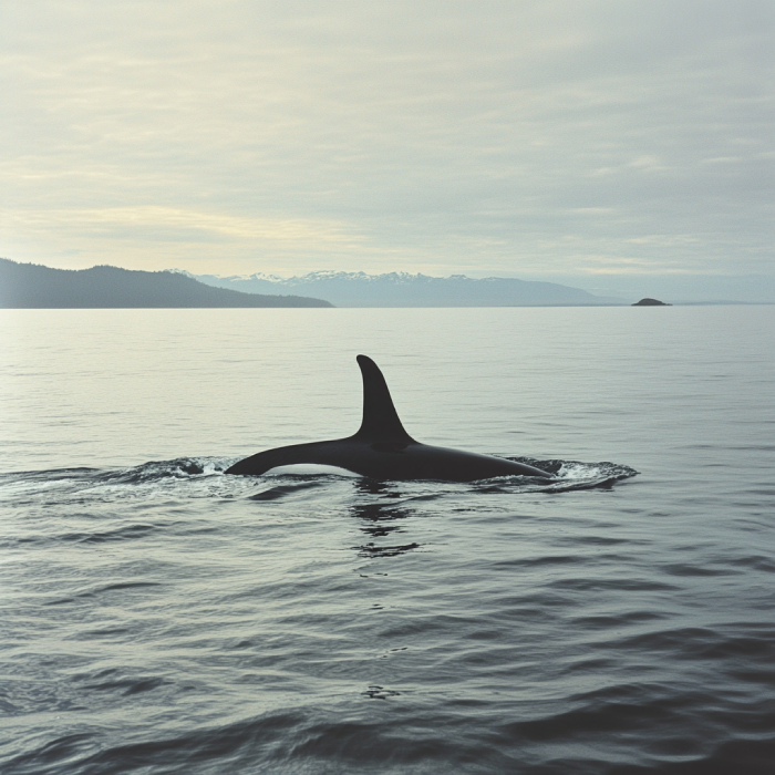
Make your adventure worthwhile on Vancouver Island by visiting Tofino and not missing its whale-watching opportunities for the world. You may have the chance to gaze upon Orcas, the most widespread marine mammal on the earth. Clayoquot Sound, located near the Tofino, is a sandy shoreline with rich rainforest.
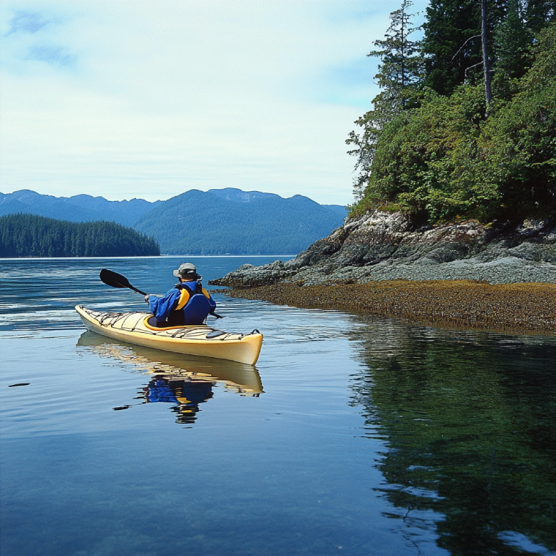
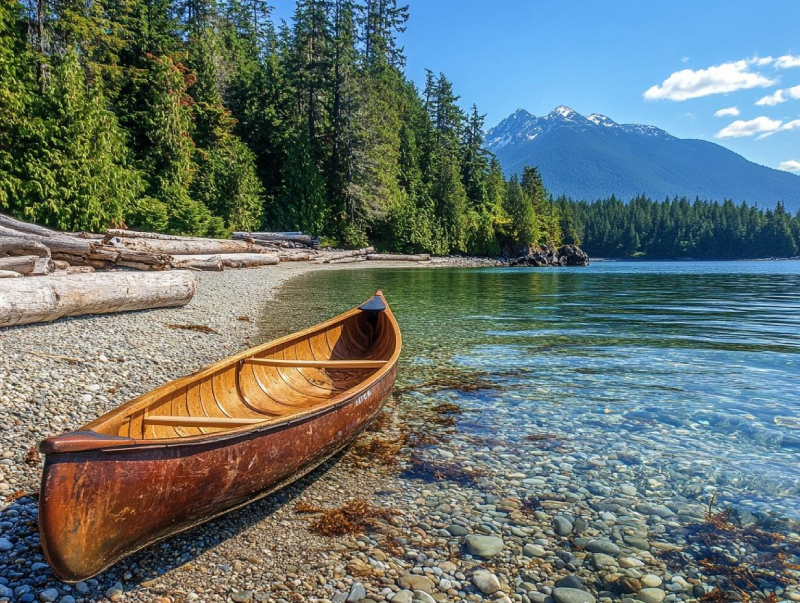
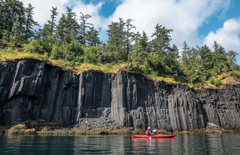
Stretch your minds and imaginations to a different experience of kayaking by going to Quatsino Sound. As a mysterious place, it is known as underground caverns, and it offers undeniably chances for those in love with paddling. While you are on the water and paddling the smooth waves, you may be lucky and observe some marine creatures that can add to your joy.
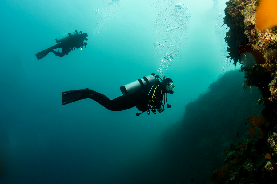
You won't remember when you worked, but you'll remember the time you had an adventure. So, if you are on Mudge Island, rent a boat and go to the Dodd Narrows. This fantastic diving zone offers an exciting diving opportunity and a diversity of marine life. Also, nature admirers would be astonished by the cute colourful nature there.
Nitinat Triangle provides an excellent opportunity for those fearless paddlers that lets them set their adventure-thirsty souls on fire. Schedule your trip to Nitinat Triangle when you have 4 or 5 days free. The triangle features campsite facilities and magnetic vies of the land.
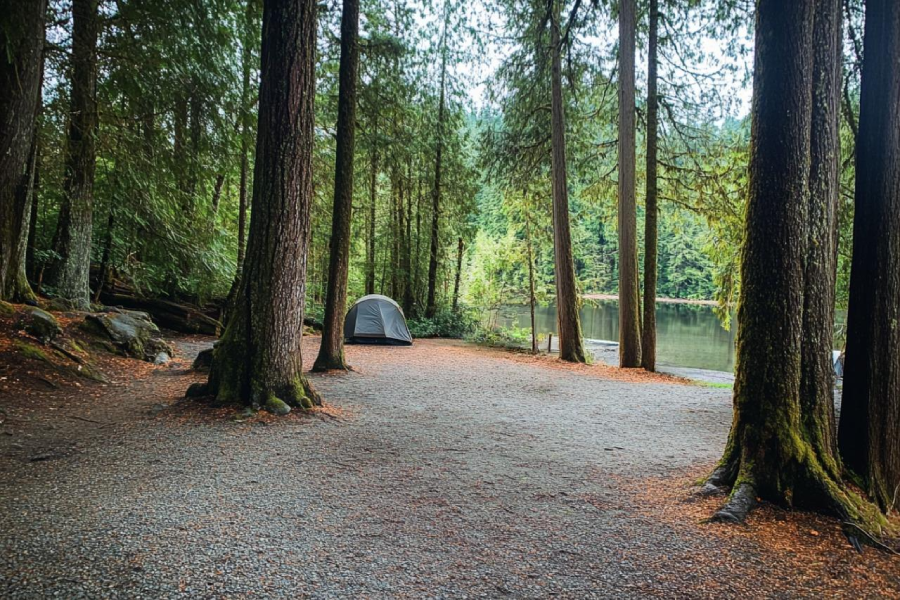
Looking for a place you can camp within the area of a forest? You can find nowhere better than the Englishman River Falls Provincial Park Campground. The beautiful campsite is well maintained with tall trees and lovely views that you can hike while appreciating the incredible scenery. Camp lovers are provided with ample facilities and several outdoor activities.
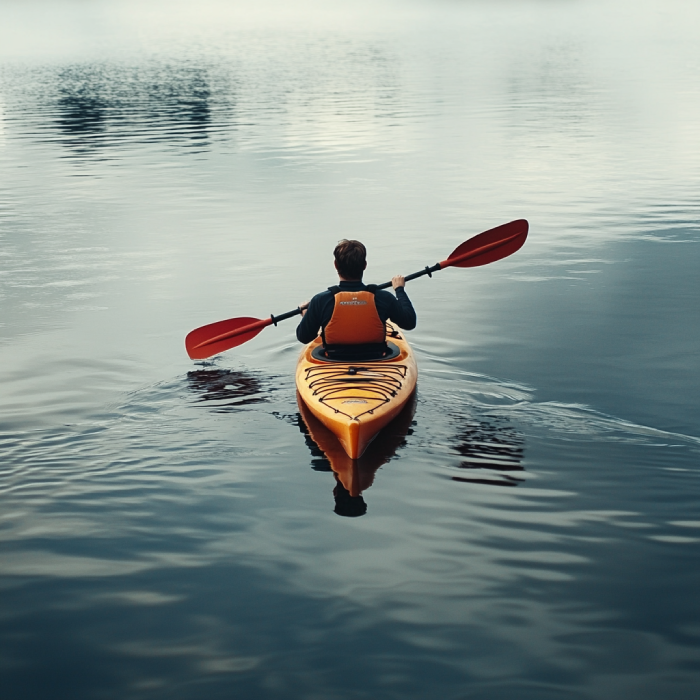
Victoria offers endless kayaking and canoeing opportunities, whether you have the expertise or not. It is the gateway to world-class paddling in which various wildlife and birdlife exist. But the adventure doesn't stop there; you can do any activity you imagine, and consequently, Victoria is the paradise of paddles for those who enjoy having more exciting excursions besides kayaking and canoeing.
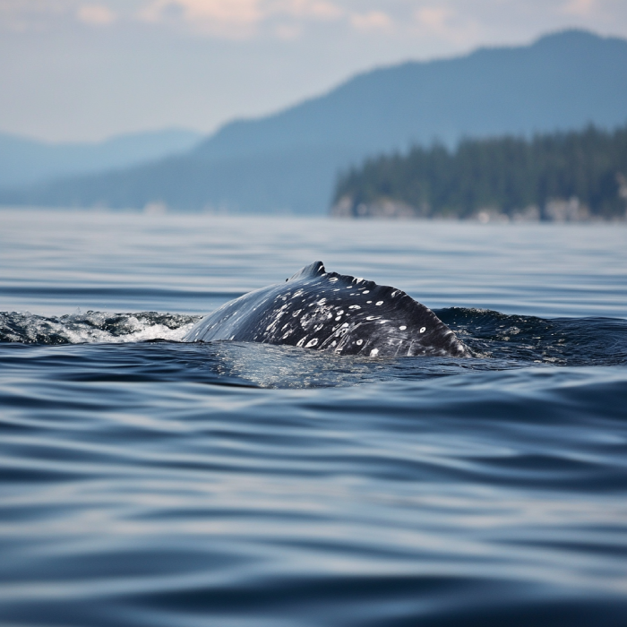
Enjoy discovering the best spots for whale watching on Vancouver Island, starting from Port Renfrew, in which chances are high to gaze upon these majestic sea creatures. Adventure awaits in Port Renfrew, and you can capture the pictures of the whales and the memory of it aside. While fishing around Port Renfrew, whales during their movements and diving or spouting near there might be observable.
If paddling is frightening for you, make it normal while you are in Nootka Sound. It s worthy of mentioning that while paddling in the waters of Nootka Sound, you are given the pleasure of observing the birth point of BC, Yuquot. Nootka Sound is known as the paradise of the paddlers, and its island provides an extraordinary situation in which an astonishing adventure is waiting to be embraced.
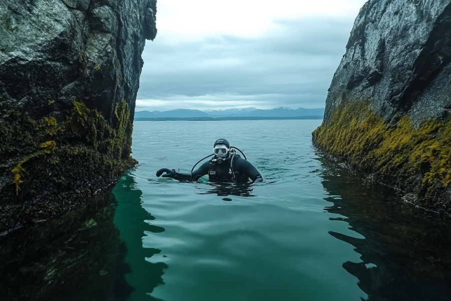
Assign one page of your adventure book to the experience you would gain in the Cottam Point diving zone. Going north of Nanaimo, this fantastic diving location is famous for its mighty tides and incredible marine life. Therefore, you can enjoy both diving and exploring underwater life.
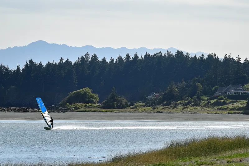
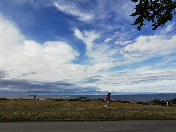
If you are craving a windsurfing opportunity during winter, Goose Spit Regional Park will provide you with the chance to meet your expectations of windsurfing along with kiteboarding. Nestled near Comox Valley, you are allowed to enjoy yourselves and the extraordinary scenery at the same time. Sandy and rocky beaches and diverse wildlife are other features of the Goose spit.
|
Trail Name |
Distance |
Time |
Rating |
Key Features |
|---|---|---|---|---|
|
Carmanah Main Trail
|
1.3 km
|
20-30 min
|
2 C
|
Planked trail to T junction, Sitka spruce
|
|
Lower Carmanah Trail
|
~1.8 km
|
45 min-1 hr
|
2 C
|
Heaven Tree, Fallen Giant, Randy Stoltmann Grove
|
|
Middle Carmanah Trail
|
6.5 km
|
2.5-3 hr
|
2 C
|
Three Sisters, Grunt’s Grove, Paradise Pool
|
|
Upper Carmanah Basin
|
~7.5 km
|
Varies
|
Hazardous
|
Mystic’s Hollow, Sleepy Hollow, Camp Patience
|
|
West Walbran Trail
|
7.5 km
|
3-4 hr
|
2 D
|
Fletcher Falls, Maxine’s Tree, Anderson Lake
|
|
Central Walbran Trail
|
4 km
|
2-3 hr
|
2 D
|
Botley Lake, Auger Lake, western cedars
|
|
Harriet Nahanee Memorial Trail
|
7.1 km
|
~2 hr 9 min
|
Moderate
|
Tolkien Giant, Monster Jam, Limestone Canyon
|
|
Anderson Lake Trail (Castle Grove)
|
13 km
|
6 hr
|
Challenging
|
Loop to Anderson Lake, overnight camping
|
Distance: 1.3 km (0.8 miles) to T junction
Time: ~20-30 minutes
Rating: 2 C (easy)
Description: The Carmanah Main Trail is the gateway to hiking in Carmanah Walbran Provincial Park, starting at the main parking lot at the end of Rosander Mainline. This well-marked, planked trail protects the fragile roots of Sitka spruce, guiding hikers through a cathedral-like old-growth forest. After 1.3 km, it reaches a T junction, splitting into the Lower Carmanah Trail downstream or the Middle Carmanah Trail upstream. Damaged by 2006-2007 winter storms, the trail may require detours around fallen timber, adding adventure to this nature trail. The towering giant trees and moss-draped understory make it a must-do for things to do on Vancouver Island.


.webp)


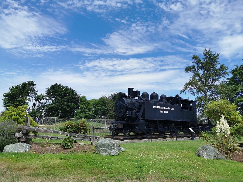
Tahsis is an accessway to many hiking trails. This village municipality is situated at the top of the steep-sided Tahsis Inlet and is surrounded by breathtaking wilderness and abundant wildlife. Some of the best water activities like ocean kayaking, surfing, windsurfing, recreational fishing or sport fishing, scuba diving, and kiteboarding are popular.

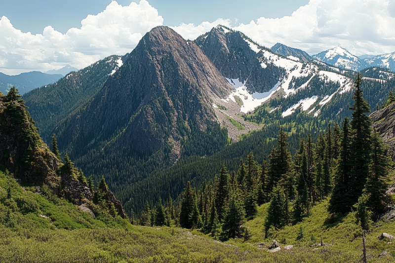
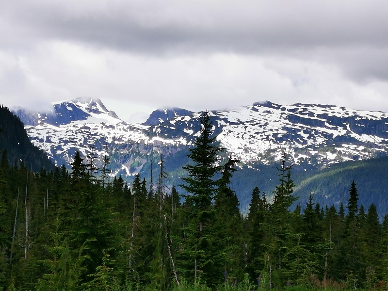
The Sutton Range is a group of mountains and a subrange of the Vancouver Island Ranges that form the greater Insular Mountains. The amazing rock formation and alpine scale make the mountains within the range perfect for climbing. While you're atop Sutton Peak, Victoria Peak, Warden Peak, and mainland coast mountains are within your sight.
The Sophia Range is a low small group of mountains on Nootka Island. Visiting the range would be fascinating overlooking inlets. The spectacular sights of the hills wrapped in trees ornamented with beautiful wildlife and birds are amazing while ascending. The range and the nearby park are a wealth of outdoor activities as paddling, fishing, and wildlife viewing.
As it is said, "A river cuts through rock, not because of its power, but because of its persistence." Did you know it takes a long process for a cave to be created? Artlish Caves is no exception. It is the largest active river cave in Canada, and the running water is why these series of caves were carved out from the ground, which is still happening. While you are inside the caves, sharpen your eyes to find bats, spiders, and other creatures in the darkness.

If you desire to search for hidden parts of nature to discover exciting facts, Coral Cave is a suitable option. Before stepping into it, you need to have caving skills. The beauty of the cave is doubled by the stunning rainforest that surrounded the entrance. While you are inside, you may see the flooded parts of the cave. Let's get into it to find more and realize the time effect for thousands or millions of years.
Devote more time, get a challenging goal for yourself, and pack your equipment. It is time to face the longest and deepest cave on Vancouver Island, Thanksgiving Cave. Caving inside this mostly tight and beautiful cave is not a beginner's suitable exploration, but for an expert caver, the adventurers' rush worth any trouble. If you are a beginner, don't worry. Tahsis is the caving capital of Canada, so you have different chances nearby.
Going deep into the forest is worthy enough to visit the stunning Upana Caves. Listen to the sound of a river passing by and detect several entrances with the famous one behind the spectacular Upana Caves Waterfall. Inside entrances, you may find birds' nests. Watch the evidence of years of existence by holes like the one in cheese. The stunning galleries and passages you'll explore while going down would be incredible.
The Genevieve Range offers a fascinating tour within Nootka Island with spectacular sights for mountaineers. The range's area is a remote paradise for those seeking peace and seclusion. While ascending peaks, the range allows breath-taking sights of the ocean, enormous trees below your feet covering hills along with lakes and creeks dotted the area and plenty of wildlife.
The Haihte Range overlooking Tahsis and Zeballos is home to some of the largest remaining glaciers on Vancouver Island. It experiences many cloudy days due to being close to the coast. The high terrain, including long aesthetic lines, is perfect for skiing at the lower glacier shelves, and visitors would enjoy excellent alpine climbing at jagged spires along the main ridge.
|
Month |
Weather Conditions |
Trail Accessibility |
Considerations |
|---|---|---|---|
|
May
|
Variable; cooler temperatures with increased rainfall.
|
Trail open; some campsites may be closed.
|
Less crowded; prepare for wet conditions.
|
|
June
|
Mild temperatures; moderate rainfall.
|
Trail open; most campsites operational.
|
Increasing number of hikers; moderate weather.
|
|
July
|
Warmer temperatures; drier conditions.
|
Trail open; all campsites operational.
|
Peak season; higher demand for permits.
|
|
August
|
Warm temperatures; drier conditions.
|
Trail open; all campsites operational.
|
Peak season; higher demand for permits.
|
|
September
|
Cooling temperatures; increased rainfall.
|
Trail open; some campsites may be closed.
|
Less crowded; prepare for variable weather.
|
|
Aspect |
Positive Comments |
Negative Comments |
Tips |
|---|---|---|---|
|
Access
|
Scenic adventure, improved by recent logging
|
Rough roads, potholes, logging trucks, landslides
|
Use high-clearance vehicle, bring spares, avoid dark
|
|
Trails
|
Stunning old-growth, magical vibe, beautiful lakes
|
Poor maintenance, slippery, blocked sections
|
Wear good boots, be agile, check trail status
|
|
Camping
|
Peaceful, beautiful riverside spots, bear caches
|
No water pump, remote, mosquitoes
|
Bring water, be self-sufficient, expect bugs
|
|
Wildlife
|
Quiet serenity, rare bear/elk sightings, trout
|
Few animals, subtle presence
|
Be bear-aware, enjoy the calm
|
|
Atmosphere
|
Peaceful, surreal, sensory delight
|
Eerie at dusk, neglected by BC Parks
|
Visit in daylight, embrace the magic
|

Alireza Moghimehfar