
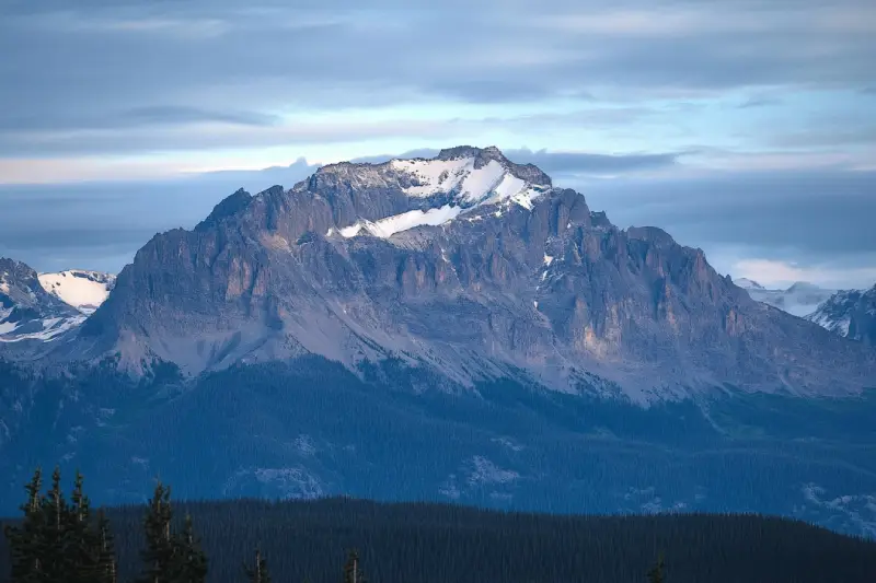
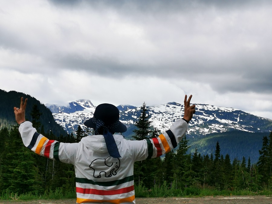
Mount McBride with 2083 m (6834 ft.) height is the seventh highest mountain on Central Vancouver Island. Atop Mount McBride, the 360° panoramic view of Strathcona Provincial Park is rewarding, besides vistas of the highest mountains on Vancouver Island, including Golden Hinde, Mt Colonel Foster, King's Peak, Elkhorn Mountain, and Rambler Peak.
Develop your life skills and overcome daily life obstacles in touch with nature. The Beaufort Range has incredible mountains stretching from Horne Lake to Comox Lake with Mount Joan as the highest summit. It offers excellent hiking with outstanding views overlooking the Strait of Georgia and Port Alberni, passing through a bit bushy cols.
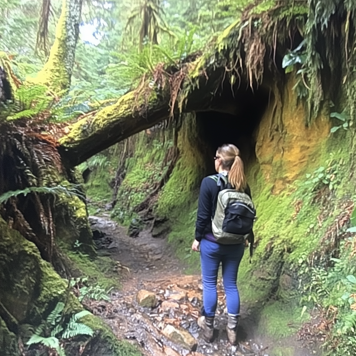
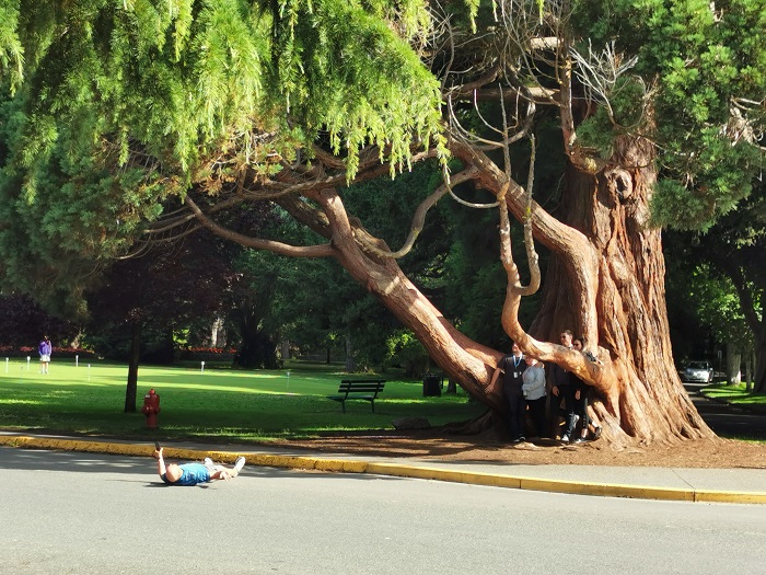
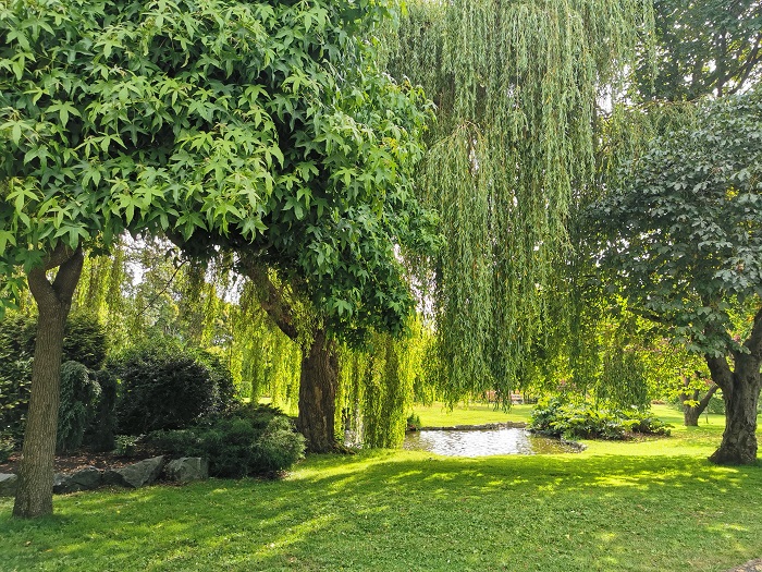
Hiking on the Rosewall Creek Trail is a rewarding experience that you reach a beautiful waterfall at the end after an easy hike that may consist of challenges. Enjoy the beauties of the park while passing the lovely well-marked trail with facilities, along the creek and through lush bits of the rainforest.
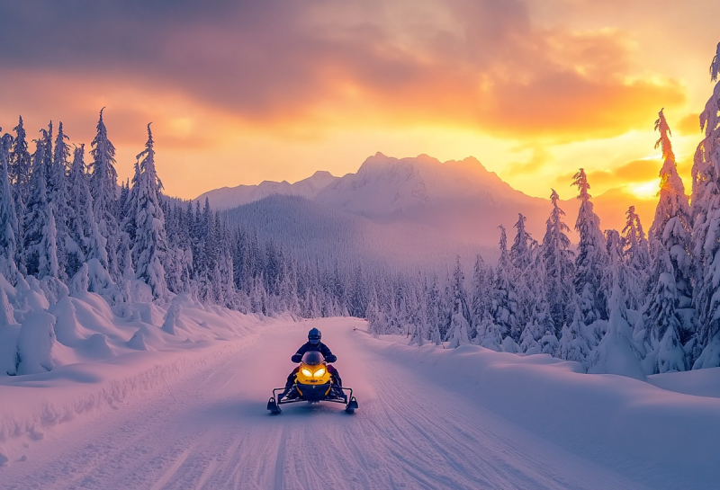
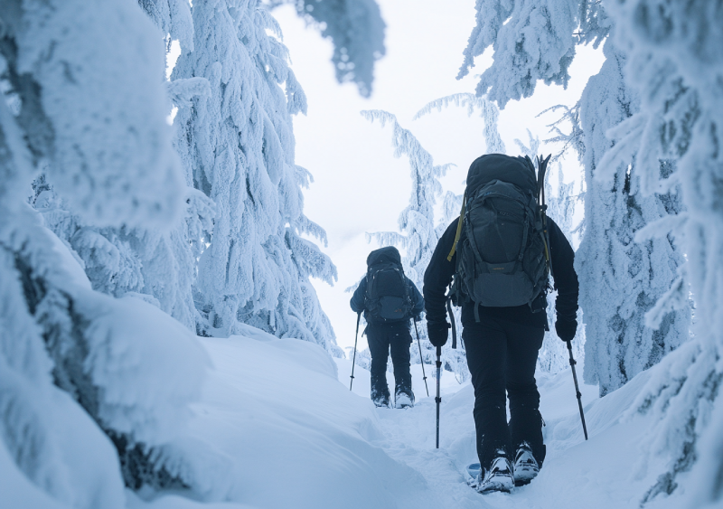
Snowmobilers and sledding enthusiasts have the chance to go snowboarding in the morning and waterskiing in the afternoon. The warm dressing is critical during snowmobiling in Mount Washington. Besides, the fantastic view there is fabulous for photography.
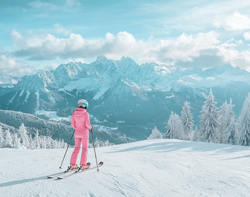
As the second busiest winter recreational destination in BC, Mt. Washington Ski Resort in Comox Valley offers a wide range of snowboarding facilities. Mountain climbing enthusiasts who choose Mount Washington for snowboarding have the chance to look across the Strait of Georgia and other spectacular views, such as the Strathcona Provincial Park region.
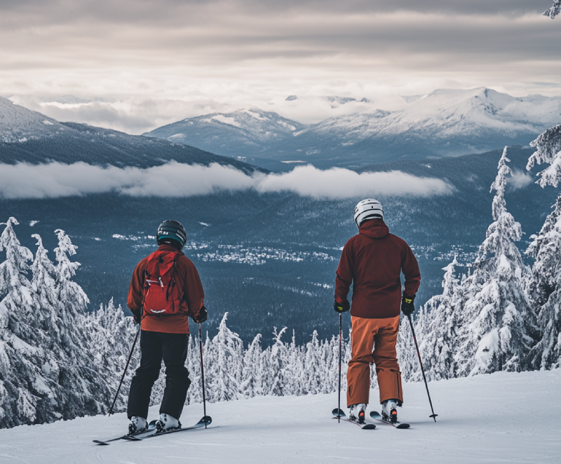
Being the busiest winter recreational destination in BC, Mount Washington provides you with incredible winter activities, including snowshoeing. While you are on the snow, enjoy a 360-degree panorama of the Strait of Georgia and the Sunshine Coast from Powell River to Sechelt. Moreover, several nearby resorts are ready to offer service to visitors annually.
As one of the biggest and most visited ski resorts in Comox Valley, The Mount Washington resort is a summer-winter destination primed with several facilities to serve skiing followers. The high rate of snowfall and spectacular views of the ocean, and ample facilities for winter activities multiply the attractiveness of Mount Washington.
If you got a few days free and you plan to spend it on Vancouver Island, pay a visit to Fillongely Provincial Park to experience every possible way of camping. Nestled amongst lush green deciduous trees, visitors would enjoy excellent hiking trails with picturesque sights. This quiet, clean, and grassy park provides you with exciting activities and a gorgeous ocean and forest view.
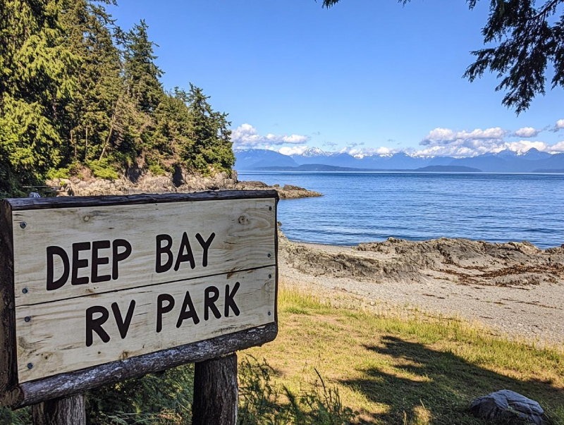
Despite its name, if you favour it, you can do tent camping with a sea view right in the center of Vancouver Island. one of the most significant fishing camps, Deep Bay s full of surprises for anglers. Not to mention that if you visit, you can observe various fantastic wildlife there. So, put your hesitates aside, and plan to visit Camping in Deep Bay RV Park this weekend.
Looking for a place on Hornby Island to stay the night while enjoying yourselves? You would better stop by camping in Ford's Cove Marina and camp with your RV or tent. This campground has cute oceanic views and glorious sunsets with gorgeous mountains. The Ford's Cove Marina Campground sites are charming, well-maintained, and spacious, with a pleasant grassy and treed atmosphere and beautiful scenery.
As a popular destination for campers from Nanaimo or Courtenay, Qualicum Bay Resort is one of the best places for nature admirers. Amuse your eye with the beautiful scenic view of this campground located on a beautiful beach. You are provided with almost every kind of camping and incredible landscape for those in the RV campground.

The great adventure in Fanny Bay will always hunt its visitors. The Lighthouse RV Park and Campground offer undeniable opportunities for camping of all kinds with a beautiful view of the ocean ornamented by mountains and islands. This campground offers excellent accommodation with every essential amenity. Not to mention that you can lose yourself in its charm, quiet, and unique sites and find it again.
Spacious, unique, private, and complete facility sites are provided in Bradsdadsland Campsite for visitors to have a perfect time camping on Hornby Island. Embrace this fantastic opportunity for adventure while you are in one of the gems of Hornby Island. You would feel peaceful while camping in the beautiful Bradsdadsland, away from your daily boring daily routine. While watching sunsets, enjoy the ocean view ahead of you.
By camping in Cumberland Lake Park Campground, the freedom you feel is seductive. The sandy beaches are perfect for spending some time walking or lounging on enjoying the lake's beautiful view and forest. So, do not miss another day of your vacation and head to the Camping in Cumberland Lake Park Campground to fulfil your desires for adventure.
Nestled right in the territory of K’omoks First Nation, the Puntledge RV Campground offers you chances to camp next to a river with a mountain view as your backdrop, which makes it an ideal place to watch how the sun greets the mountains. You can enjoy camping with all facilities provided and no worries for the kids to get hurt. Also, a top-notch adventure is awaiting you.
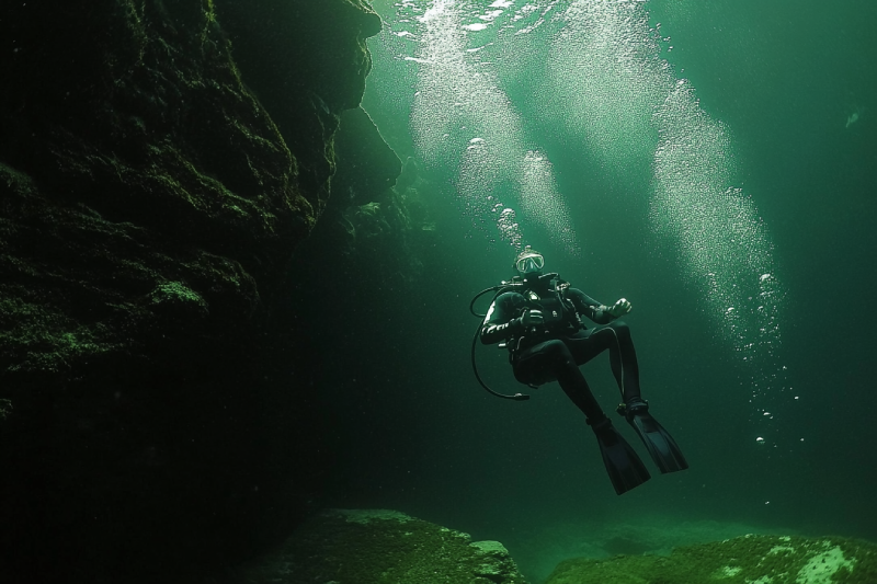
Diving in Norris Rocks is two birds with one stone. You have the chance for an exciting deep-diving and also observing the unbelievable underwater wildlife inhabiting the area. After jumping into the water, go deep to gaze upon giant octopuses and deep-water locations.
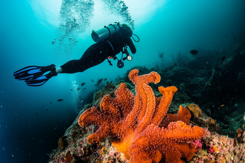
If you are wandering around Hornby Island and thinking about a way to multiply the adventure of your day, do not hesitate and head to Flora Islet. On the other hand, no boats? Don't worry! This excellent diving zone is accessible by ferry. Enthusiasts who come to the site on summer days have the chance to see six-gill sharks.


.webp)


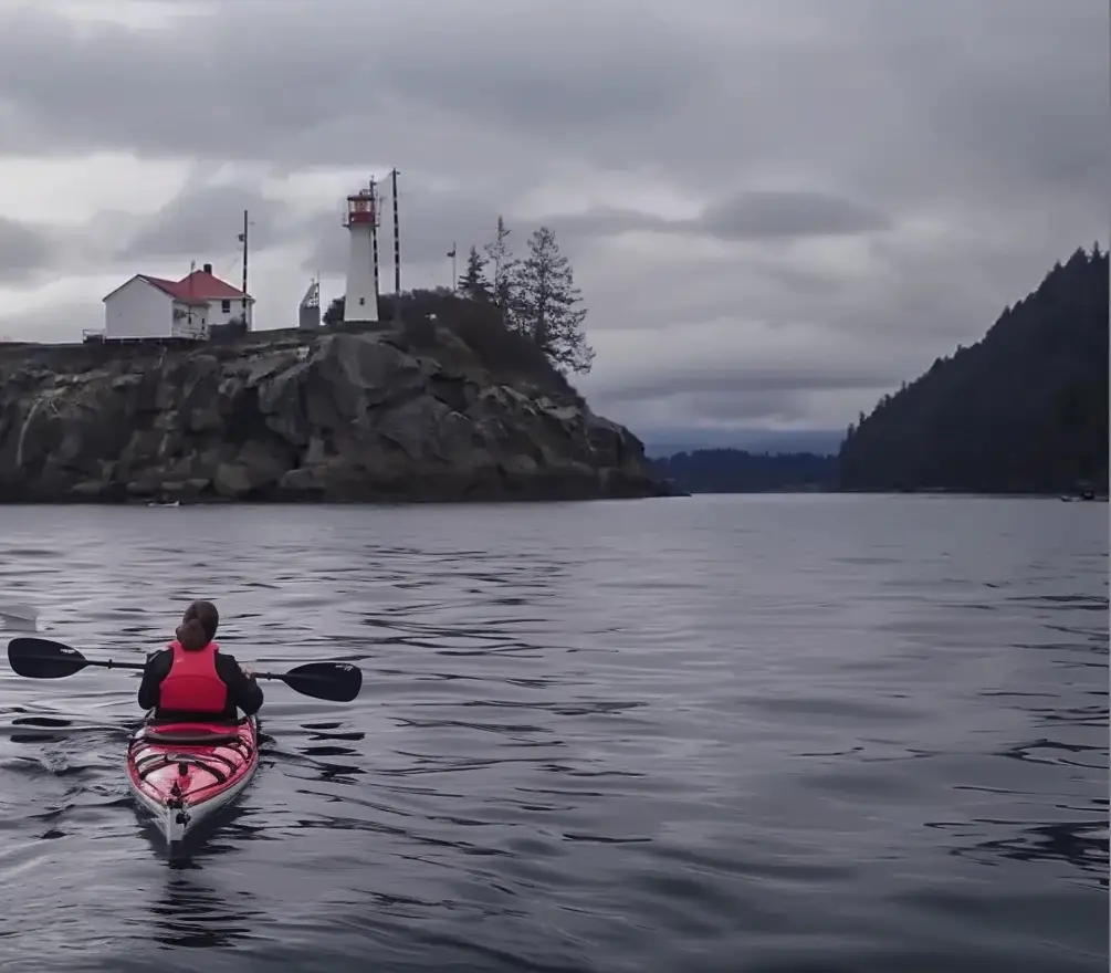
Nestled in the serene waters of Baynes Sound, Chrome Island Lighthouse is a captivating historical and scenic attraction off the southeastern coast of Vancouver Island, British Columbia, Canada. Established in 1891, this iconic lighthouse near Denman Island and Hornby Island offers tourists a unique blend of maritime history, stunning coastal views, and cultural significance. For visitors exploring the Mount Washington area, a trip to Chrome Island Lighthouse provides a perfect coastal complement to the alpine adventures of Vancouver Island.
Courtenay is the biggest community in the area with daily flights from Vancouver, Calgary, and Edmonton. It has scenic beaches, rivers, lakes, and popular activities such as Mt. Washington Ski, snowshoeing, snowmobiling, snowboarding, and world-class golfing. Comox Valley is famous for year-round sports and recreational activities among them are bird watching and photography.
Parksville is known for its scenic, superb sandy beaches. This city is also famous for hiking trails, waterfalls, wildlife, parks, entertainment centres, and many fantastic restaurants and pubs. The city's most popular annual festival is Sandcastle Competition. Englishman River Falls, Little Qualicum Falls, and Englishman River Falls Provincial Park are among the most visited places.
Mount McBride with 2083 m (6834 ft.) height is the seventh highest mountain on Central Vancouver Island. Atop Mount McBride, the 360° panoramic view of Strathcona Provincial Park is rewarding, besides vistas of the highest mountains on Vancouver Island, including Golden Hinde, Mt Colonel Foster, King's Peak, Elkhorn Mountain, and Rambler Peak.

An excellent picnicking area and sunny weather attract many families in summer to relax on Qualicum Beach. This sandy beach is placed in an area with many facilities and attractions to enjoy your day. Let life lead you to the beach with the incredible landscape of Lasqueti Island Ecological Reserve hills, blue sky and the ocean. Choose kinds of water activities which you delight in doing.
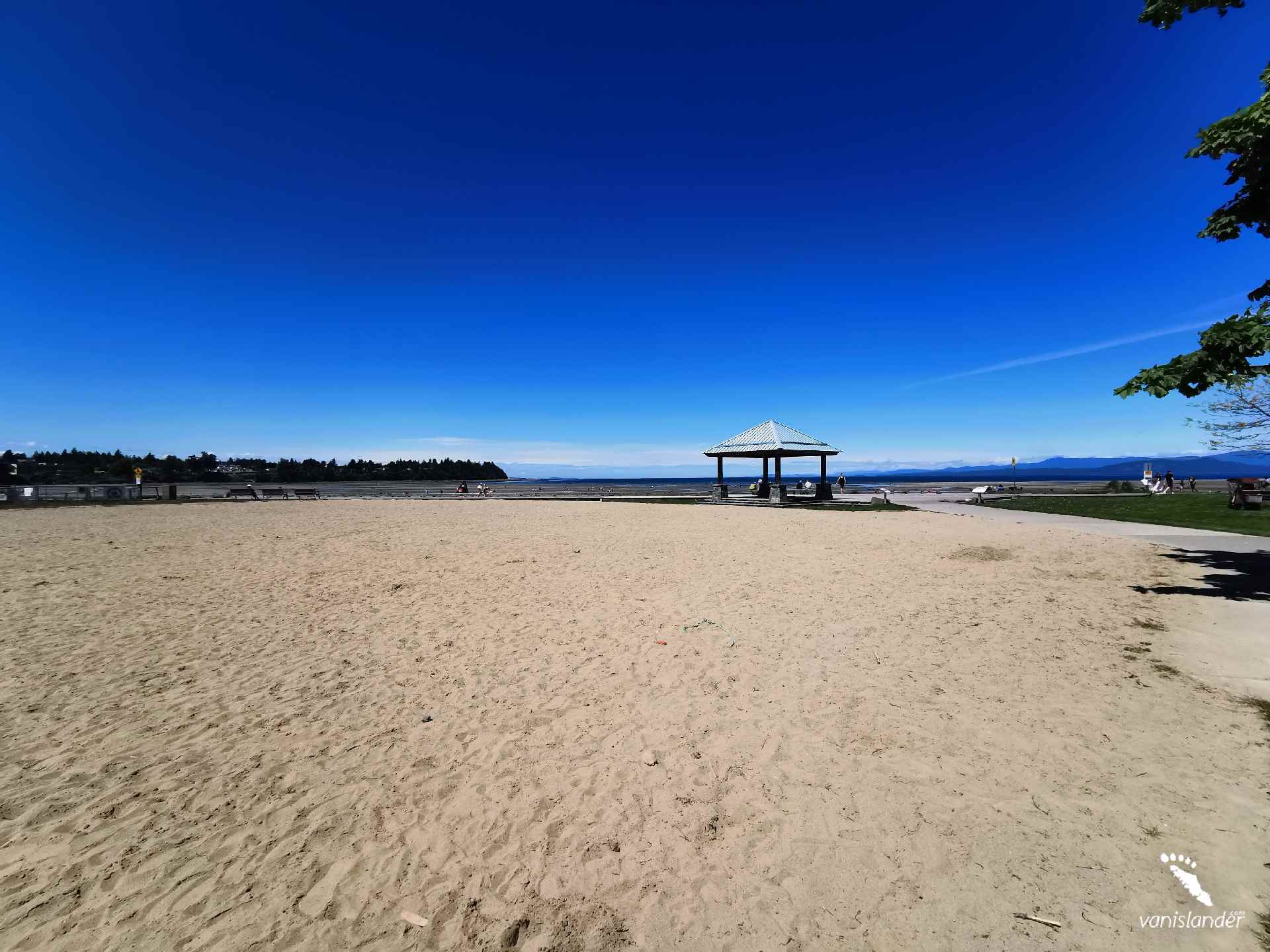
Parksville Beaches is a public beach with endless tidal flats of sand and rock. In July, a fantastic event takes place; the Sand Castle Sculpture Competition and Exhibition. In summer, soaking in the sun and watching the splendid sky could be relaxing. As the beach has an extensive area, it suits children's taste to spend hours running freely, playing and beachcombing.
Goose Spit Park is a long narrow coastal park with a view of the Pacific Ocean and majestic mountains. Lots of driftwoods exist all over the beach. Have a nice walk on the long walkway to see lots of crab and starfish or find some sand dollars. Goose Spit Park offers excellent opportunities for water sports like swimming, kayaking, and surfing.
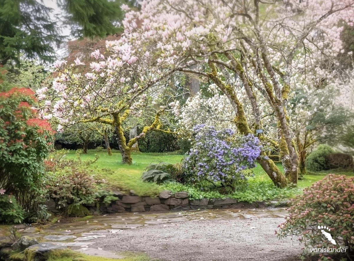
Milner Gardens & Woodland is on the list of the top ten public gardens in Canada. It is among old-growth Douglas fir forest, on the edge of an oceanside bluff. The garden is well known for its rhododendrons in spring and Japanese maples in fall. Strolling through the wide walkways makes a great family time. Enjoy it and have tea in its traditional tea room.
Englishman River Falls Provincial Park is covered with old-growth and second-growth forests. It features Englishman River Falls and two bridges that cross the Englishman River. A deep, crystal clear pool with a small rocky beach downstream of the lower falls is a great place to view spawning salmons in the fall and go swimming in the summer.
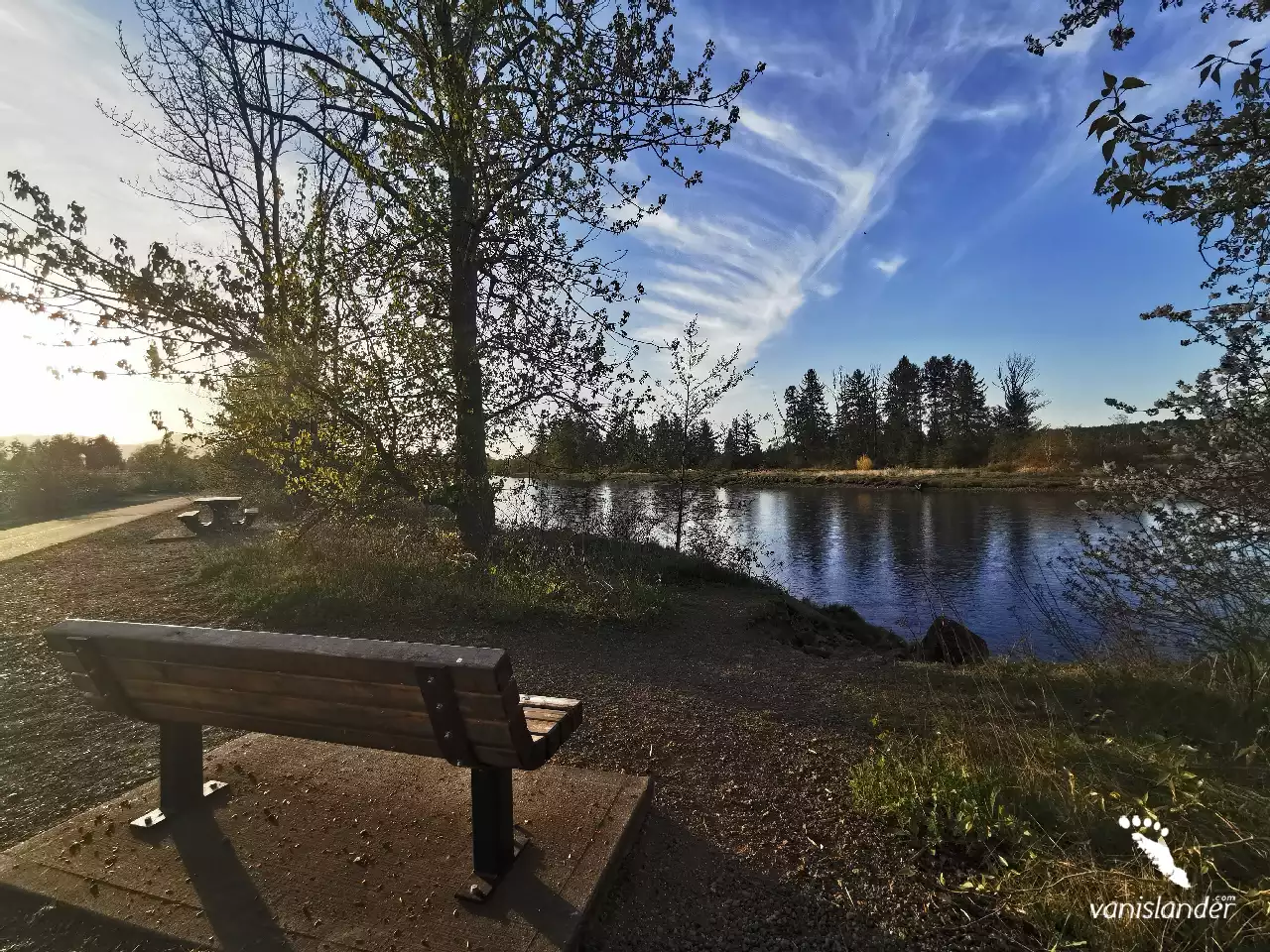
Englishman River Regional Park is home to numerous wildlife species, like Roosevelt Elk and a community hatchery with an extensive salmon side channel. Peaceful hiking, nice biking, and water sports like fishing and swimming are among the things you can do. Find your place for picnicking or camping and walk with your dog off-leash. Leave your footprint and take your memories.
Rathtrevor Beach Provincial Park is a scenic parkland with tall trees, a campground, and a serene beachfront area suitable for family and friends or solo visitors. The tempting hiking trails among old-growth Douglas fir trees, watching beautiful sunsets by the ocean, and relaxing on the beach are some of the highlights. Extensive wildlife and migratory birds cause a great attraction.
Tribune Bay Provincial Park, or Little Hawaii, has an expansive sweep of white sand surrounded by woods. The park is famous for its unusual rocky shoreline formations, tidal pools, and beautiful white sandy beaches. Its warm and shallow water is ideal for snorkelling and swimming. Being there watching sunsets and a beautiful full moon without any street lights to distract the view would impress you.
The flow of Rosewall Creek forms a waterfall in the middle of a rain forest surrounded by moss-covered rocks. Rosewall Creek Falls is one of the masterpieces done by nature that deserves multiple visits. The water is white and pure, and it seems like it's coming out of a wall made of trees. Visiting the waterfall in summer and spring would be perfect as the creek has a higher water level.
Along the Brown River, there is a river fall that completes its attractiveness. The river's stream cascades from rock cliffs and makes Brown's River Falls. It is also known as Medicine Bowl, a series of falls in a lush green forest. The landscape is worthy enough to sit on a rock and watch it for hours, and the sound of the waterfall is like a piece of music on repeat, which you would not become bored with it.
Develop your life skills and overcome daily life obstacles in touch with nature. The Beaufort Range has incredible mountains stretching from Horne Lake to Comox Lake with Mount Joan as the highest summit. It offers excellent hiking with outstanding views overlooking the Strait of Georgia and Port Alberni, passing through a bit bushy cols.