.webp)


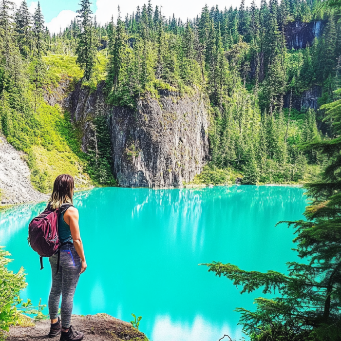
The Hike to Century Sam Lake is highly recommended for experienced hikers. You will have everything to make a good adventure! Hiking in a wilderness area with stunning mountain views and a unique landscape would make a perfect day. Beautiful lake, cool caves, stunning nature and wildlife viewing, and forest walk make your experience very rewarding!
.jpg)
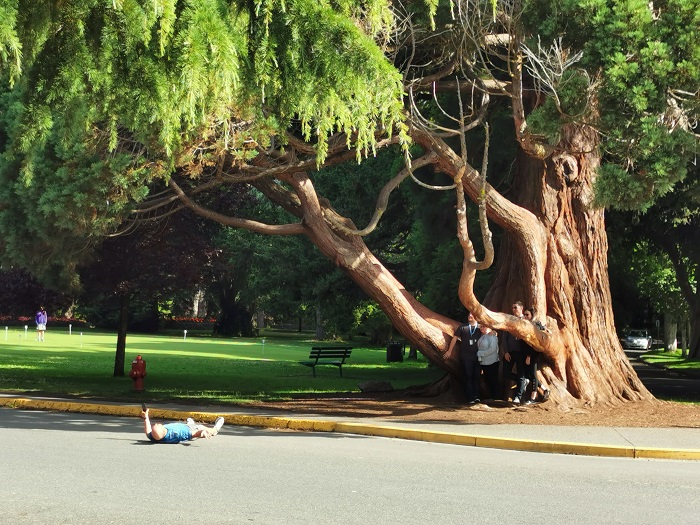
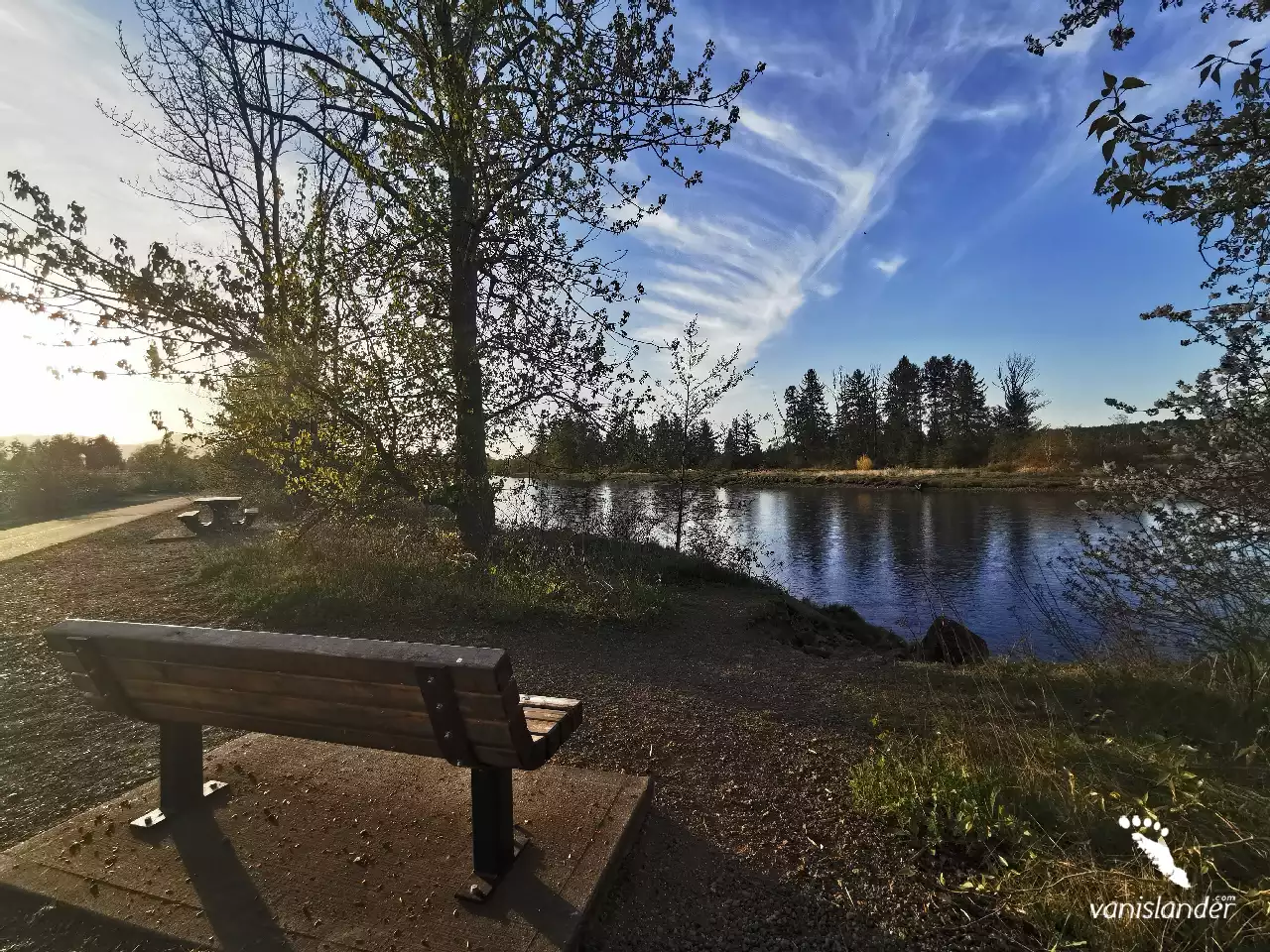
The Courtenay Riverway Heritage Walk makes it possible for you to hike in a paved path where nature is around you. It is easy to find wildlife for photography while hiking. Take your dog with you and choose between hiking, walking, running, and biking. As the trail is suitable for all ages and is close to Courtenay, it is one of the popular hiking trails in the area that gets crowded on sunny days.
.jpg)
Experienced and beginner hikers will be surprised hiking Lake Helen Mackenzie and Battleship Lake Loop with its stunning atmosphere in an alpine area and fantastic scenery. This trail includes well-kept facilities and a campground that make it suitable for all family members. Have a nice day-hike not to miss the attractions to see.
.jpg)
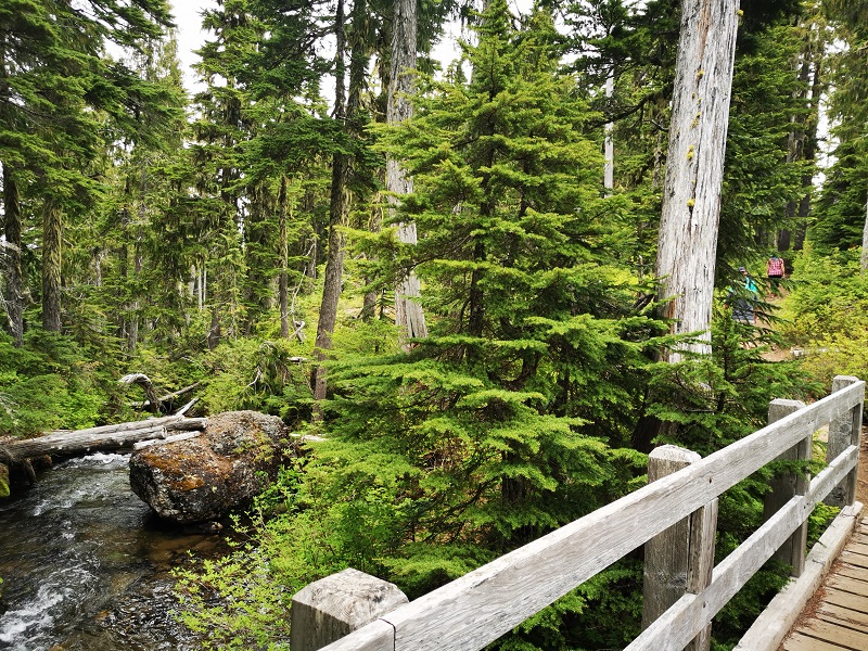
A relatively short and easy trail in the Comox Valley area is the hike to Trent Falls. Stay on track because its wild nature has much to offer. Hiking along the Trent River with its perfect swimming and fishing opportunities and watching the waterfall with a deep pool under and the wildlife around it brings you joy, especially if you are with the family.
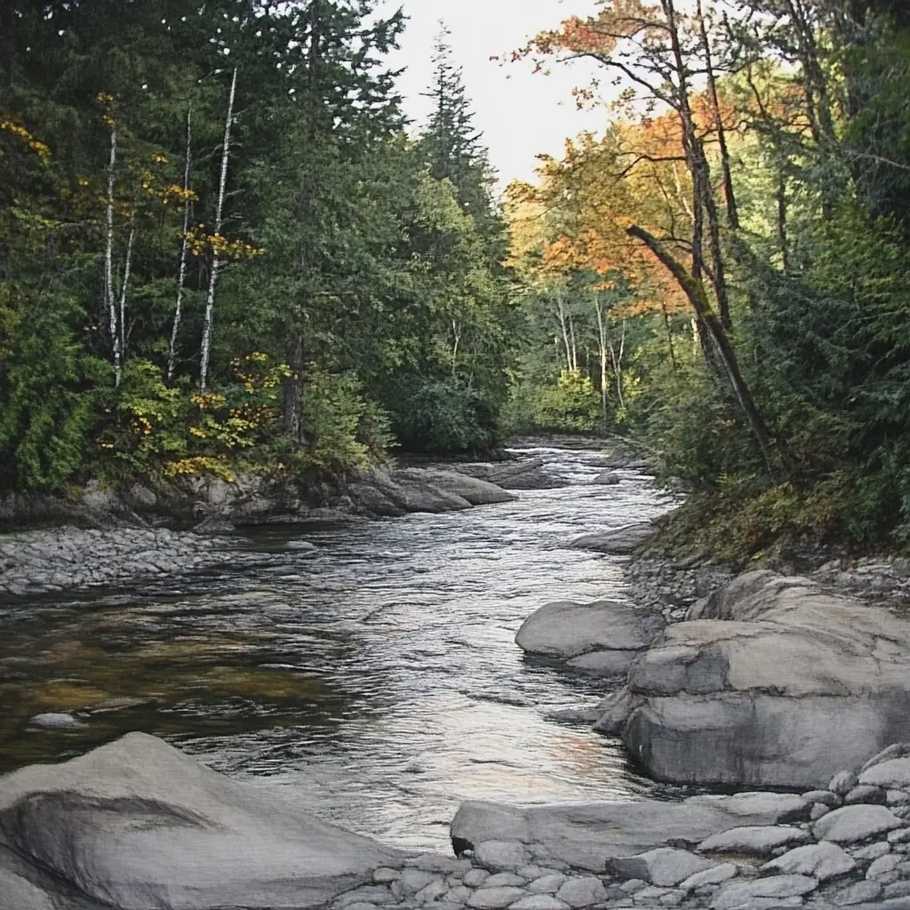
The Trent River runs through nature and brings more life to it. The river has a waterfall on its way and merges into the Strait of Georgia. It is fantastic to see the water flowing over the stones and hear the dipper's clear wandering song working along the edge. The Trent River is a beautiful attraction perfect for swimming in summer. There are many fishes in the river, including pink salmon.
Listen to the music of water, let your troubles go with the flow, and immerse yourself in nature. Get yourself in touch with the perfect view of Trent River Falls, its ecosystem, and beautiful trees. Enjoy the wildlife and a wide range of bird species in the area. Make your outdoor excursion around the waterfall and the Trent River full of peace.
Along the Brown River, there is a river fall that completes its attractiveness. The river's stream cascades from rock cliffs and makes Brown's River Falls. It is also known as Medicine Bowl, a series of falls in a lush green forest. The landscape is worthy enough to sit on a rock and watch it for hours, and the sound of the waterfall is like a piece of music on repeat, which you would not become bored with it.
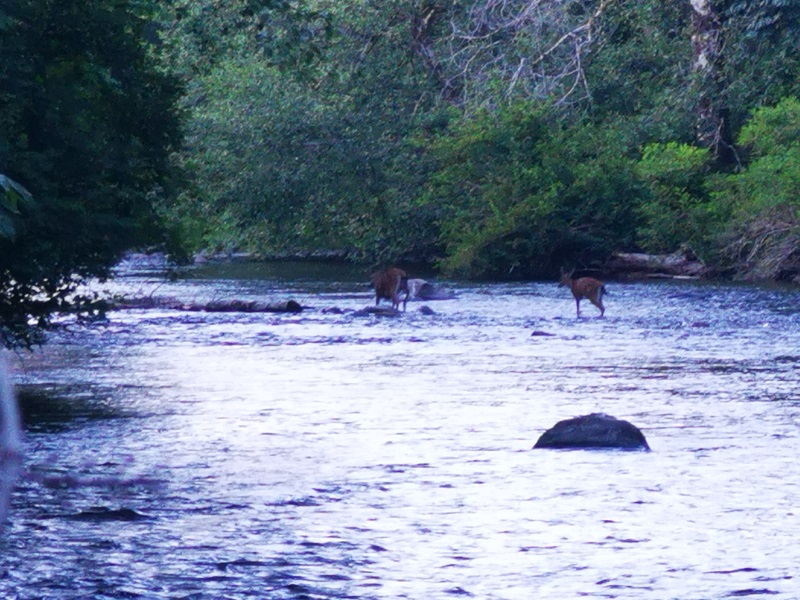
A great place to heal and recharge on the Campbell River is Deer Falls, a little piece of heaven. Imagine the water descends into an emerald green pool with the sweetest melody that you could hear and the tall trees surrounding the falls. In summer and late spring, the rocks around the pool become moss-covered and create a fabulous view. Watching bears there in summertime eating salmon is fantastic, but don't limit your expectations; the area has a lot to offer as scenery.
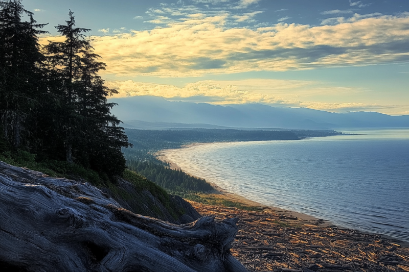
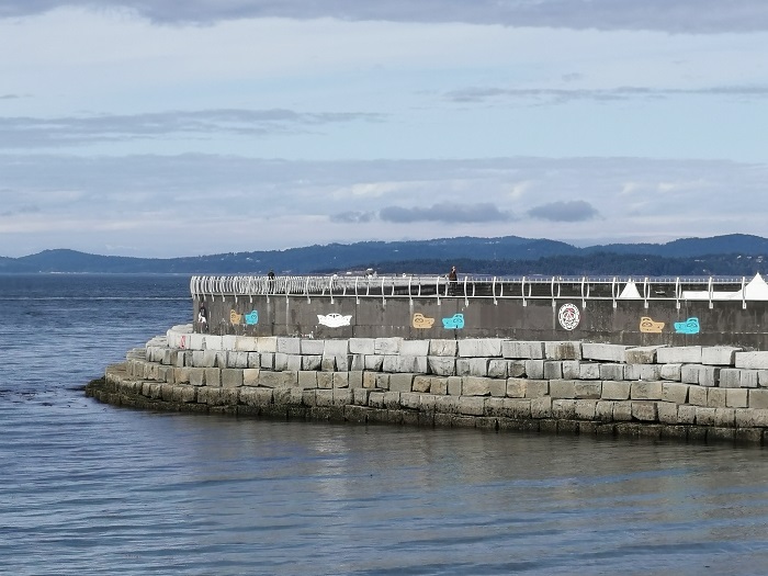
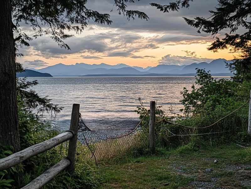
Goose Spit Park is a long narrow coastal park with a view of the Pacific Ocean and majestic mountains. Lots of driftwoods exist all over the beach. Have a nice walk on the long walkway to see lots of crab and starfish or find some sand dollars. Goose Spit Park offers excellent opportunities for water sports like swimming, kayaking, and surfing.
Tribune Bay Provincial Park, or Little Hawaii, has an expansive sweep of white sand surrounded by woods. The park is famous for its unusual rocky shoreline formations, tidal pools, and beautiful white sandy beaches. Its warm and shallow water is ideal for snorkelling and swimming. Being there watching sunsets and a beautiful full moon without any street lights to distract the view would impress you.
In the south end of Buttle Lake at Strathcona Provincial Park, you can find Myra Falls (or Lower Myra Falls), a Jewel of natural wonders. This seven-drop waterfall is beautiful all year round, and it feels like you're in a land of fantasy. The tremendous view of the place and shades of green and blue of the pool under the falls make a great scene perfect for photography.
Develop your life skills and overcome daily life obstacles in touch with nature. The Beaufort Range has incredible mountains stretching from Horne Lake to Comox Lake with Mount Joan as the highest summit. It offers excellent hiking with outstanding views overlooking the Strait of Georgia and Port Alberni, passing through a bit bushy cols.
The Puntledge River cuts its way through the rocks, and it falls where the stunning drops of Nymph Falls appear. It is the crown jewel of Nymph Falls Nature Park, with two drops in the middle of the wood, the wonderful lush green forest. Just drive about 10 km (6.2 mi) from Courtenay to the west to discover the beauties.
Comox is a town with fishing opportunities, local wildlife, year-round golf and proximity to the Mount Washington ski area, the Forbidden Plateau, and Strathcona Provincial Park. Based on archaeological evidence, there was a Coast Salish fishing settlement at Comox for at least 4,000 years. The area's signature landmark is the Comox Glacier.
It is a grace finding a waterfall along a river. The Puntledge River makes Stotan Falls a beautiful pond waterfall with a wide area. The waterfall sound melodious by the water pouring smoothly on the large rocks on its way that you can enjoy for hours. Swimming in summer would be delightful while you are in hot water where the green forest surrounds you.
Courtenay is the biggest community in the area with daily flights from Vancouver, Calgary, and Edmonton. It has scenic beaches, rivers, lakes, and popular activities such as Mt. Washington Ski, snowshoeing, snowmobiling, snowboarding, and world-class golfing. Comox Valley is famous for year-round sports and recreational activities among them are bird watching and photography.
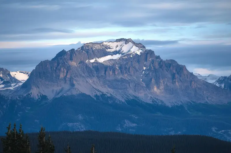
Mount McBride with 2083 m (6834 ft.) height is the seventh highest mountain on Central Vancouver Island. Atop Mount McBride, the 360° panoramic view of Strathcona Provincial Park is rewarding, besides vistas of the highest mountains on Vancouver Island, including Golden Hinde, Mt Colonel Foster, King's Peak, Elkhorn Mountain, and Rambler Peak.
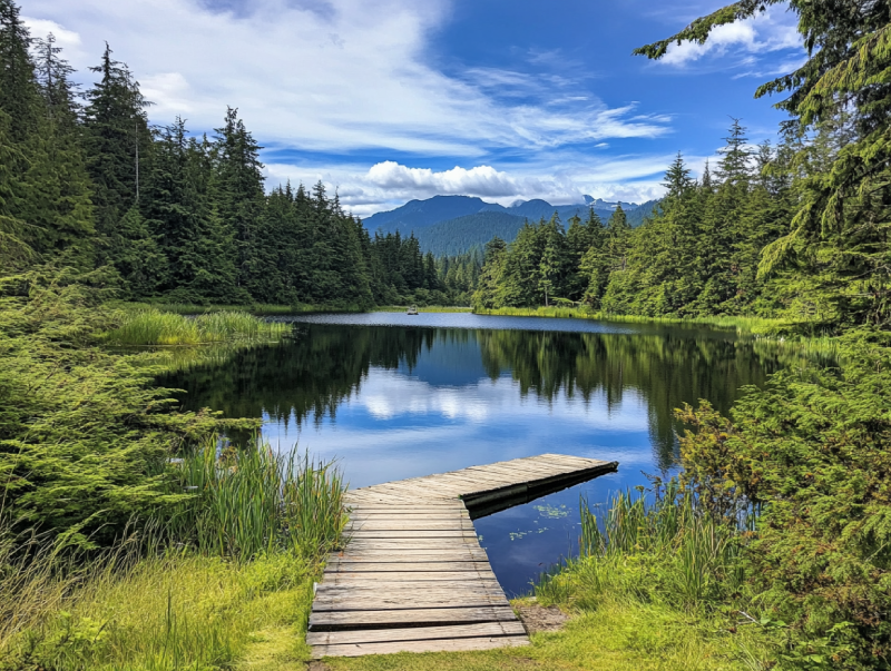
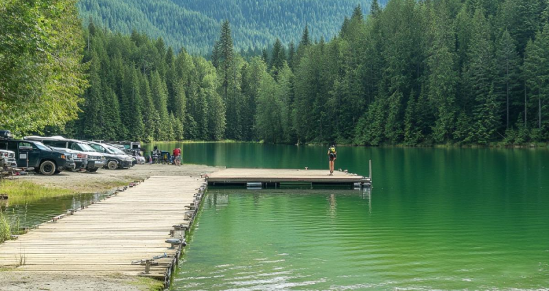
Comox Lake is a trendy recreational area, a hot spot near the city of Courtenay. This freshwater lake is so wonderful that people crazy about outdoor activities, specifically hiking, swimming, and camping, can not ignore it. There are multiple trails with a lot of eye-catching nature to see. The lake's surroundings are incredible and worth visiting.
Are you a nature lover looking for ocean views, beaches, forests and mountains all in one? Do you struggle with busy life challenges? Discover how the tranquil area of Helliwell Provincial Park gives you the exact solutions to emotional healing and inner strength. This environmentally sensitive area is a gem on Hornby Island, with Douglas fir and Garry oak forest overlooking the ocean.

The great adventure in Fanny Bay will always hunt its visitors. The Lighthouse RV Park and Campground offer undeniable opportunities for camping of all kinds with a beautiful view of the ocean ornamented by mountains and islands. This campground offers excellent accommodation with every essential amenity. Not to mention that you can lose yourself in its charm, quiet, and unique sites and find it again.
When you do not expect it at all, endless excitement on Helen Mackenzie Lake will strike you. There, campers would experience backcountry camping, and all the amenities and convenient facilities that enthusiasts may need are provided. You will be fascinated by breathtaking views and various flora and fauna. It has trails through beautiful meadows by the crystal water while the mountain is spreading upfront.
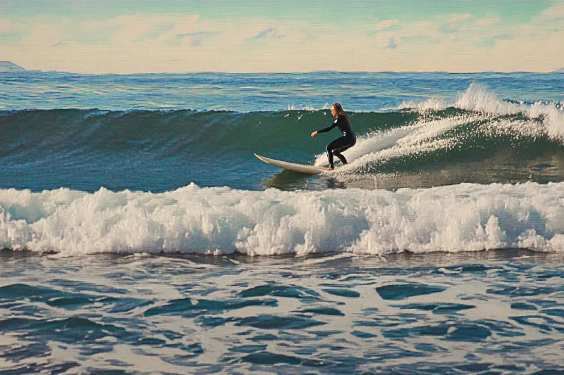
Leave your job and its responsibilities for a few days and try to feed your soul. If you are looking for a way to add excitement to your journey, Kitty Coleman Beach & Bates Beach will provide you with great opportunities to embrace and skim the surface of the water. Wave surfing on Kitty Coleman Beach and the low-tide pools of Bates Beach would make you feel fully charged and ready to get back doing your job.
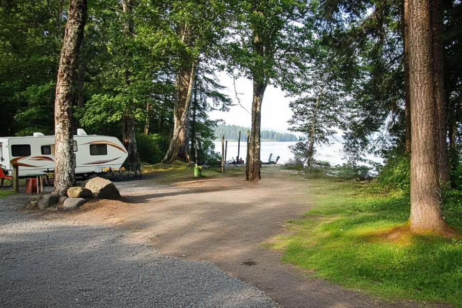
Home to many campsites with all kinds of facilities and services right on the shoreline, Buttle Lake campground offers you the best opportunities to explore the shore. There you can do a lot of activities and enjoy seeing marine creatures.
Annually, the campground welcomes RV and vehicle campers. Also, you can have a good time camping in your tents.
Spacious, unique, private, and complete facility sites are provided in Bradsdadsland Campsite for visitors to have a perfect time camping on Hornby Island. Embrace this fantastic opportunity for adventure while you are in one of the gems of Hornby Island. You would feel peaceful while camping in the beautiful Bradsdadsland, away from your daily boring daily routine. While watching sunsets, enjoy the ocean view ahead of you.
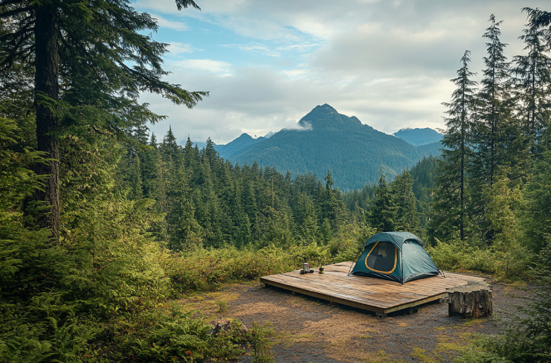
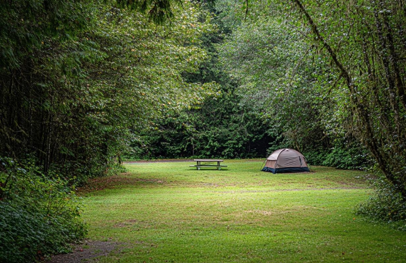
The fundamental core of life is your thirst for adventure; therefore, visiting Circlet Lake is a must. Circlet Lake Campground has enough attraction to fascinate you. Alpine forest, easy access, waterfalls, and lakes are just some attractions bewitching visitors and mountaineers for camping there. Some wooden plateau tent pads are provided on the lake, while some are off the lake for campers who need more seclusion.
As a reward for your hard work, travel to Vancouver Island to fulfil your cravings for adventure and fun. Adjacent to Campbell River, Stories Beach is a vibrant spot attracting many visitors worldwide. The great waves heating the beach allow you to experience surfing for real. While you are in the area, keep in mind to fish; so, do not forget to bring your fishing rods.
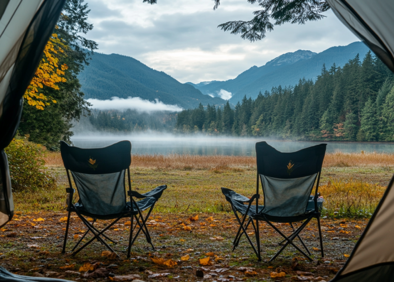
By camping in Cumberland Lake Park Campground, the freedom you feel is seductive. The sandy beaches are perfect for spending some time walking or lounging on enjoying the lake's beautiful view and forest. So, do not miss another day of your vacation and head to the Camping in Cumberland Lake Park Campground to fulfil your desires for adventure.
Looking for a place on Hornby Island to stay the night while enjoying yourselves? You would better stop by camping in Ford's Cove Marina and camp with your RV or tent. This campground has cute oceanic views and glorious sunsets with gorgeous mountains. The Ford's Cove Marina Campground sites are charming, well-maintained, and spacious, with a pleasant grassy and treed atmosphere and beautiful scenery.
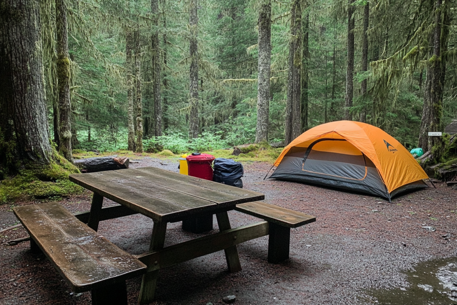
As the oldest provincial park on the island, Strathcona Provincial Park Campground will be a memorable wilderness adventure. Every day you spend on this beautiful campground is a different new day, for you can experience any adventure and never get sick of it. As a hot spot for camping, you are given a chance to choose the setting of your campsite.
In Tribune Bay Campground-Hornby Island, you would have the chance to spend your time on grass or the area covers by green trees. There might be one of the best places to spend time with your family and an excellent opportunity to observe different flora and fauna. The camp is next to a co-op if one needs anything necessary, which is great for campers.
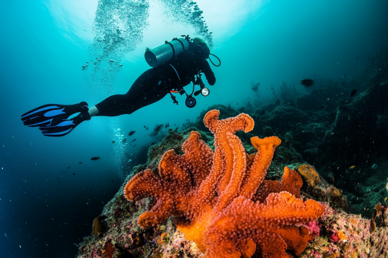
If you are wandering around Hornby Island and thinking about a way to multiply the adventure of your day, do not hesitate and head to Flora Islet. On the other hand, no boats? Don't worry! This excellent diving zone is accessible by ferry. Enthusiasts who come to the site on summer days have the chance to see six-gill sharks.
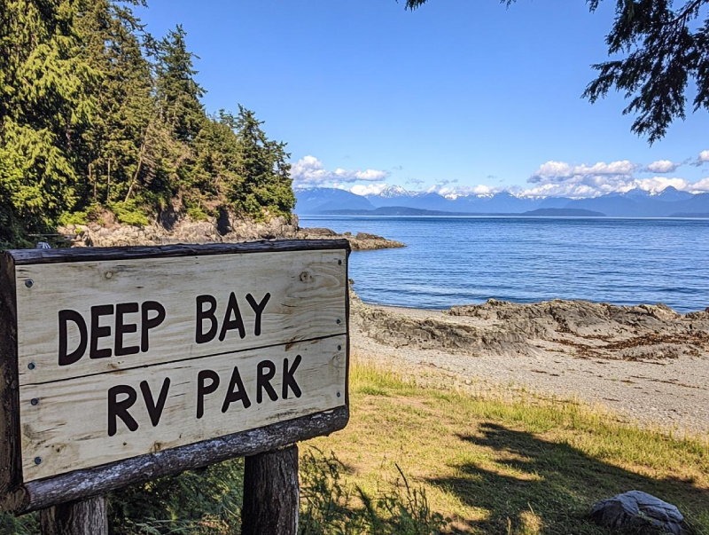
Despite its name, if you favour it, you can do tent camping with a sea view right in the center of Vancouver Island. one of the most significant fishing camps, Deep Bay s full of surprises for anglers. Not to mention that if you visit, you can observe various fantastic wildlife there. So, put your hesitates aside, and plan to visit Camping in Deep Bay RV Park this weekend.
The Courtenay Riverway Heritage Walk makes it possible for you to hike in a paved path where nature is around you. It is easy to find wildlife for photography while hiking. Take your dog with you and choose between hiking, walking, running, and biking. As the trail is suitable for all ages and is close to Courtenay, it is one of the popular hiking trails in the area that gets crowded on sunny days.
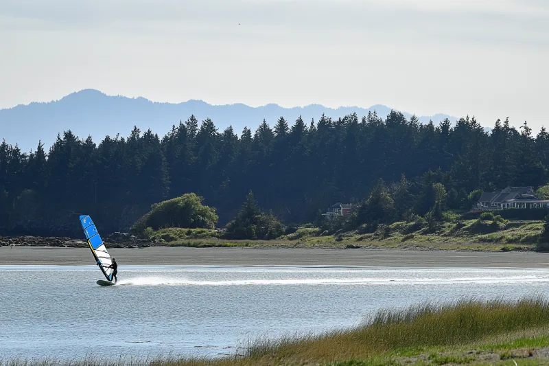
If you are craving a windsurfing opportunity during winter, Goose Spit Regional Park will provide you with the chance to meet your expectations of windsurfing along with kiteboarding. Nestled near Comox Valley, you are allowed to enjoy yourselves and the extraordinary scenery at the same time. Sandy and rocky beaches and diverse wildlife are other features of the Goose spit.