
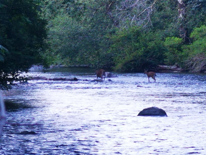
A great place to heal and recharge on the Campbell River is Deer Falls, a little piece of heaven. Imagine the water descends into an emerald green pool with the sweetest melody that you could hear and the tall trees surrounding the falls. In summer and late spring, the rocks around the pool become moss-covered and create a fabulous view. Watching bears there in summertime eating salmon is fantastic, but don't limit your expectations; the area has a lot to offer as scenery.
Words cannot describe Lupin Falls because this waterfall's beauty is beyond the world of vocabulary. The water pours gracefully on rocks and carving its way into the hard rock cliff. A forest surrounds the two drops of Lupin Falls and adds to its wonders. Visiting Lupin Falls is a big bonus as it is placed in Strathcona Provincial Park with a lot to offer.
Find peace at the bottom of a waterfall where there will be the magic of nature all around you. Lady Falls is a rare sight of beauty and grace. The crystal clear water runs through a lush forest, reaches a rock cliff surrounded by trees, and pours down into a canyon. From afar, it feels like the water is cascading from the trees. The combination is enough for cleansing the mind, soothing the soul, and being there for hours.
Along the Brown River, there is a river fall that completes its attractiveness. The river's stream cascades from rock cliffs and makes Brown's River Falls. It is also known as Medicine Bowl, a series of falls in a lush green forest. The landscape is worthy enough to sit on a rock and watch it for hours, and the sound of the waterfall is like a piece of music on repeat, which you would not become bored with it.
In the south end of Buttle Lake at Strathcona Provincial Park, you can find Myra Falls (or Lower Myra Falls), a Jewel of natural wonders. This seven-drop waterfall is beautiful all year round, and it feels like you're in a land of fantasy. The tremendous view of the place and shades of green and blue of the pool under the falls make a great scene perfect for photography.
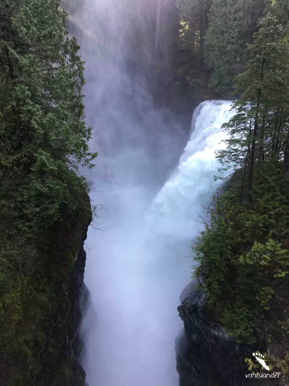
With 27 m (89 ft) height, Elk Falls is as beautiful as a postcard picture placed on the west side of Campbell River among the old-growth Douglas firs and cedar trees. The moss-covered rocks, the deep clear water underneath, and Suspension Bridge stretching across the canyon are deep reflections of a fairyland. Step into the hiking trails and enjoy all other beauties like birds.
With 440 m (1443.5 ft) height, Della Falls is the 16th tallest waterfall in the world and the tallest waterfall in Canada. Its beauty catches the eyes like a magnificent white snake that shimmers in the sunlight and finds its way through the forest, creating a landscape fit for postcards. Della Falls consists of three falls, which are cascading from Della Lake to Drinkwater Creek.
.jpg)
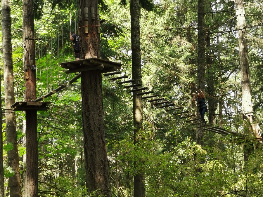
Hiking on the Mount Menzies Access Road through a logging road and having a forest walk is a challenge you can take near the Campbell River. The trail and the view from the lookout are incredible in colours. Get away from the humans by going on a beautiful trail which is nice and quiet!
.jpg)
In an area with several hiking options having the experience of hiking a relatively long trail would be great as it is rich in natural beauties. Besides hikers, Riley Lake to Lookout Loop to Lost Frog is proper for mountain bikers and nature trip lovers. Just find yourself northwest of Campbell River and get the most out of your backpacking trip.
.jpg)
With access to the Campbell River and the Quinsam River at the Elk Falls Provincial Park, hiking on the Beaver Ponds Elk Falls Circular Route makes you a fantastic day. The great scenery within the protected area and lots of activities with waterfalls, a park, rivers, a lake, and a campground have exceeded all expectations for nature lovers and hikers.
.jpg)
Have a nice easy hike in the forest with lots of river access points while you have chances for watching wildlife in Quinsam River Hatchery Trail. It is known as one of the most spectacular hiking trails in the area of Campbell River city. Fishing, nature trips, walking, and bird watching are other options for hiking along the river.
.jpg)
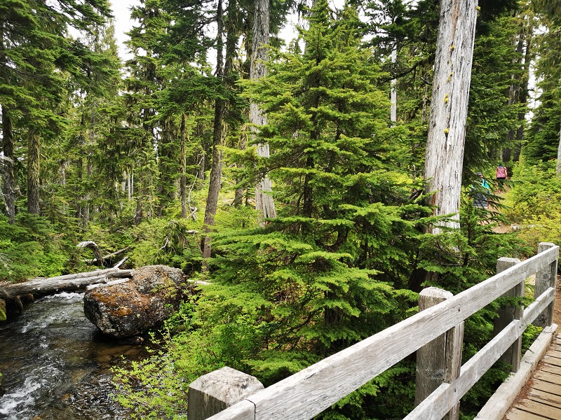
The Elk Falls via Millenium Trail is a family-friendly loop. This excellent hike with spectacular views includes waterfalls, Suspension Bridge, sitting areas and the Campbell River. Hiking this trail certainly tests your nerves. It is well maintained with several facilities. Get in touch with beautiful scenery along the river, and enjoy the stunning park with all family members while you are just a few kilometres away from downtown.
.jpg)
With a five-kilometre distance from the city, hiking on the Elk Falls Viewing Platform is an opportunity. It is among several hiking trails you can follow and explore in Elk Falls Provincial Park. This easy trail forest walk is age-friendly and features a waterfall and Suspension Bridge with a great view from the point.
.jpg)
Just outside Campbell River, step into an exciting hiking trail in the middle of a provincial park. It is where the stunning view of Douglas-fir forests comes with a wide variety of wildlife to watch. Find your way alongside the river in a loop which in some parts would be a challenge. It would be great if you plan to be there in the afternoon with a view of the sun when you cross the river.
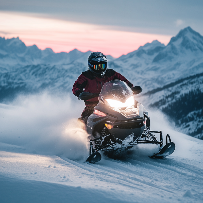
As one of the highest points of Vancouver Island, Mount Adrian offers great snowmobiling, among other winter activities. It has two summits that feature Strathcona Provincial Park in every direction—looking for a place to have winter excitement? Nowhere is better than Mount Adrian.
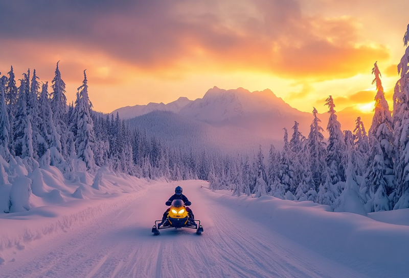
Snowmobilers and sledding enthusiasts have the chance to go snowboarding in the morning and waterskiing in the afternoon. The warm dressing is critical during snowmobiling in Mount Washington. Besides, the fantastic view there is fabulous for photography.
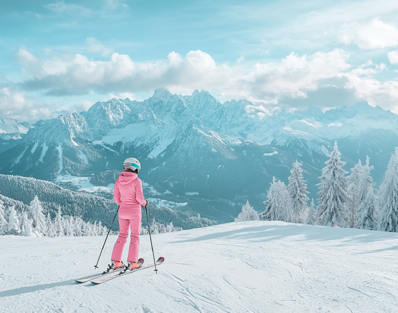
As the second busiest winter recreational destination in BC, Mt. Washington Ski Resort in Comox Valley offers a wide range of snowboarding facilities. Mountain climbing enthusiasts who choose Mount Washington for snowboarding have the chance to look across the Strait of Georgia and other spectacular views, such as the Strathcona Provincial Park region.
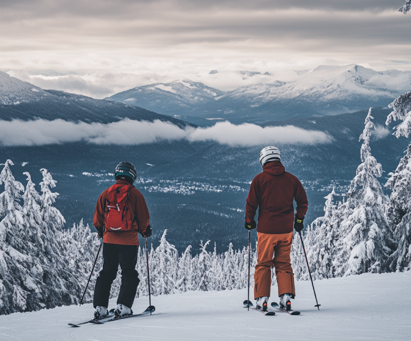
Being the busiest winter recreational destination in BC, Mount Washington provides you with incredible winter activities, including snowshoeing. While you are on the snow, enjoy a 360-degree panorama of the Strait of Georgia and the Sunshine Coast from Powell River to Sechelt. Moreover, several nearby resorts are ready to offer service to visitors annually.
As one of the biggest and most visited ski resorts in Comox Valley, The Mount Washington resort is a summer-winter destination primed with several facilities to serve skiing followers. The high rate of snowfall and spectacular views of the ocean, and ample facilities for winter activities multiply the attractiveness of Mount Washington.
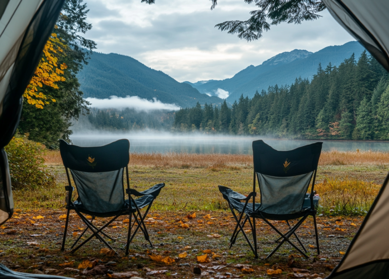
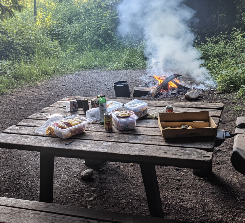
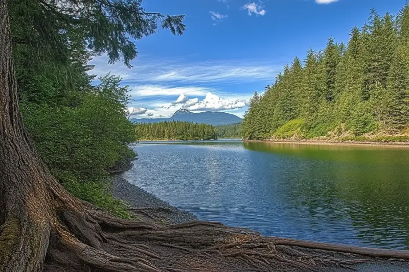
Home to many campsites with all kinds of facilities and services right on the shoreline, Buttle Lake campground offers you the best opportunities to explore the shore. There you can do a lot of activities and enjoy seeing marine creatures.
Annually, the campground welcomes RV and vehicle campers. Also, you can have a good time camping in your tents.
Camping in Ralph River Campground offers a bit more comfortable experience of exploring the park. It's adjacent to Buttle Lake, with numerous campsites all along the glorious shoreline of it. It is where you will feel a sense of being in the wilderness with beautiful sights and spectacular views from several sites over the valleys.
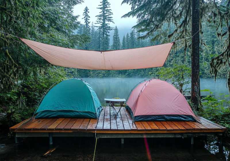
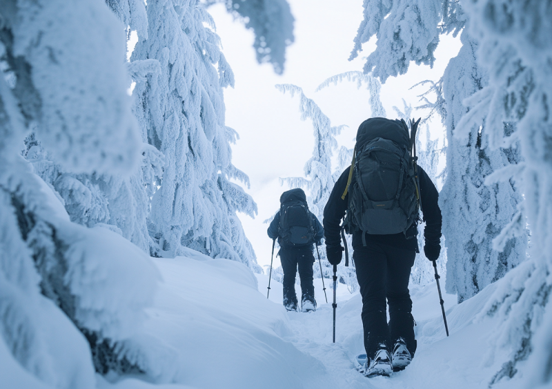
Located in the Strathcona Provincial Park near Bedwell Lake, camping is possible in a nice backcountry campground on Baby Bedwell Lake, set in the lush forest surrounded by majestic mountains. Beautiful alpine forest, perfect swimming, breathtaking view of the trail, small ponds and lakes surrounded by glacial mountain peaks are some of the area's attractions. They are enough to fascinate visitors and campers.


.webp)


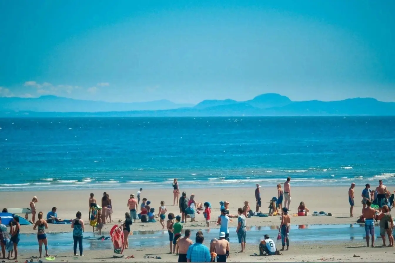
Miracle Beach Provincial Park is a year-round oceanside destination that is among the popular and beautiful parks in Vancouver-Island. This park features a nice safe sandy beach which includes private campsites, group camping facilities, a playground for the kids, hot showers and a large picnic area that has nice views of the ocean.
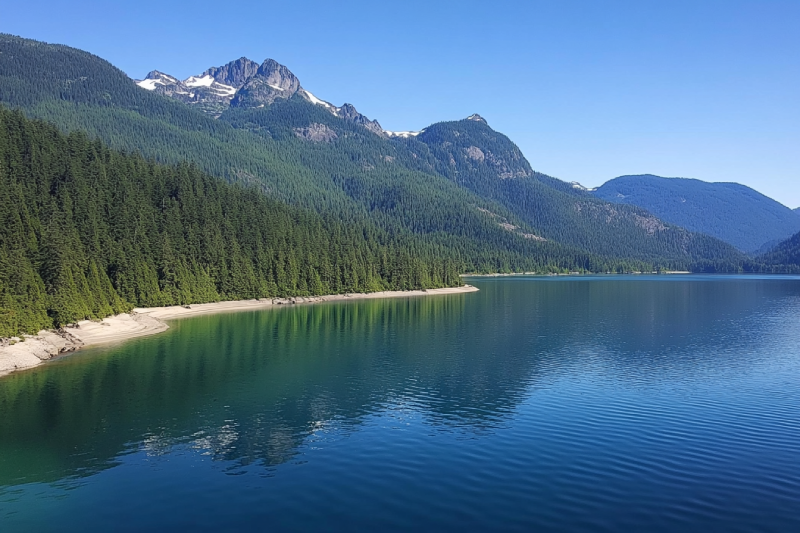
Are you struggling with spending a ton of time searching for the best family-friendly vacation? Then you need to visit Buttle Lake and get better results camping around it. Learn how Buttle Lake gives you an unfair advantage with camping, swimming, canoeing, kayaking, and fishing in Strathcona Provincial Park, the oldest provincial park on Vancouver Island.
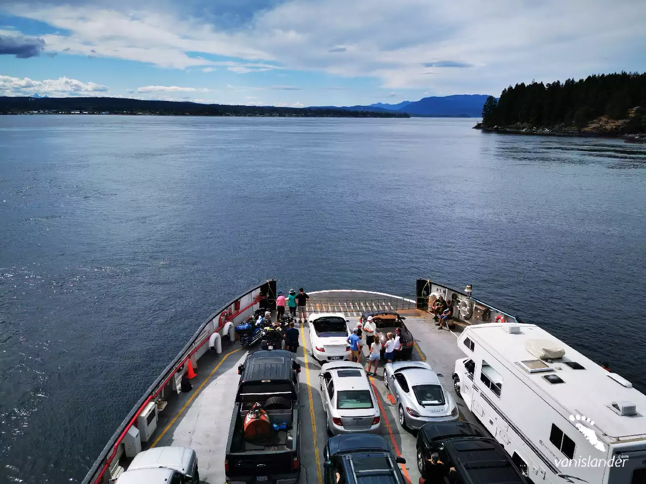
Campbell River is the fourth largest city on Vancouver Island. It has long been called "the Salmon Capital of the World." Campbell River has a reach ecosystem and beautiful waterfalls. Fishing, skiing at Mount Washington, playing golf, and seasonal activities like bear and whale watching are among the best things you can do in Campbell River.
Campbell Lake is one of the largest artificial lakes on Central Vancouver Island. The area is peaceful enough to sit on the shore or top of a mountain with a great view. The magnificent reflections of mountains and trees, specifically pine forests, on the lake create photogenic scenes and a camping hot spot. Fishing is possible all year round. Have excellent swimming at the start of summer.
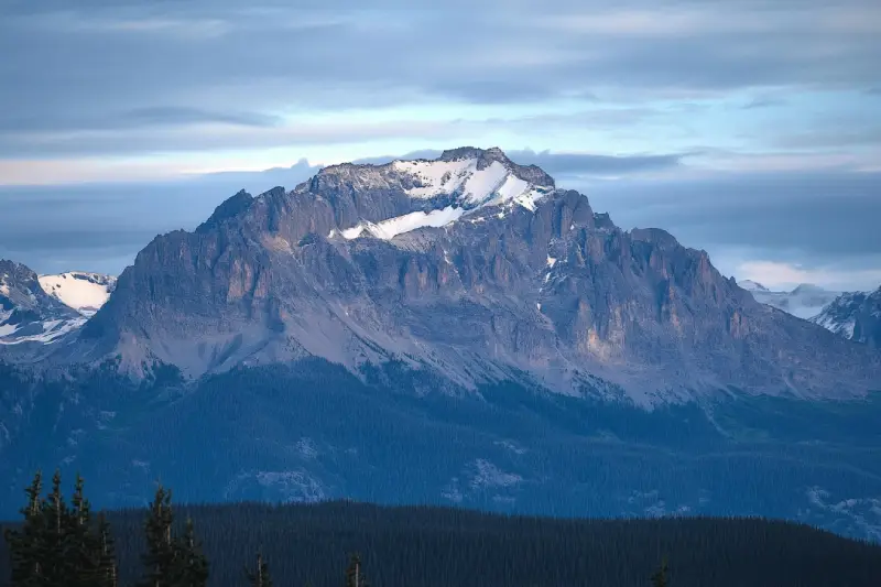
Mount McBride with 2083 m (6834 ft.) height is the seventh highest mountain on Central Vancouver Island. Atop Mount McBride, the 360° panoramic view of Strathcona Provincial Park is rewarding, besides vistas of the highest mountains on Vancouver Island, including Golden Hinde, Mt Colonel Foster, King's Peak, Elkhorn Mountain, and Rambler Peak.
Elkhorn Mountain is located in the Elk River Mountains of the Vancouver Island Ranges. It is the second-highest peak on Vancouver Island at 2194 m (7198 ft.) elevation. Atop of the Elkhorn Mountain, the commanding views of mountain peaks surrounding overlooking the Pacific Ocean and the Strait of Georgia are rewarding, as well as splendid Strathcona Provincial Park.
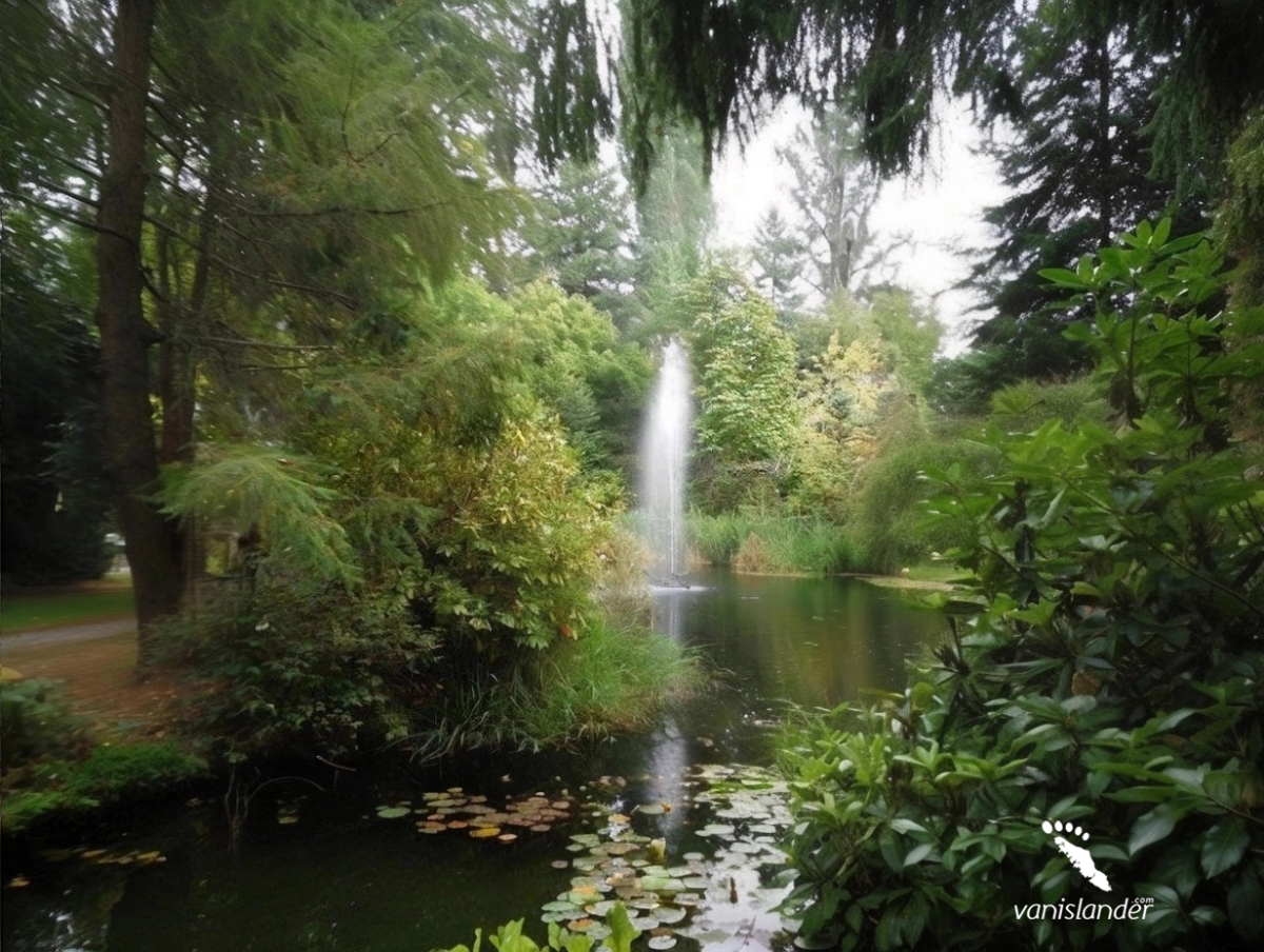
Kitty Coleman Woodland Gardens is a fantastic natural garden with delightful paths, a creek, and great open spaces. It is home to plenty of native plants, wildflowers, and birds. The garden features one of the largest collections of rhododendrons in Western Canada, with over 3000 plantings. The best time to visit is from March to the end of June when the rhododendrons are in full bloom.
A great place to heal and recharge on the Campbell River is Deer Falls, a little piece of heaven. Imagine the water descends into an emerald green pool with the sweetest melody that you could hear and the tall trees surrounding the falls. In summer and late spring, the rocks around the pool become moss-covered and create a fabulous view. Watching bears there in summertime eating salmon is fantastic, but don't limit your expectations; the area has a lot to offer as scenery.
The Halifax Range is a small mountain range consists of hills covered by gorgeous trees. The area is ornamented with wildlife like elk, dear, bear, and many bird species. While ascending the mountain, mountaineers will be refreshed by the Halifax Range's pleasant ambiance overlooking the Johnstone Strait. McCreight Lake and Pye Lake are nearby suitable for camping with facilities.
Strathcona Provincial Park is a large mountainous natural park and the oldest provincial park in British Columbia. Excellent hiking trails, coastal areas, lakes, creeks, waterfalls, snow-capped peaks, and wildlife made this park a perfect destination for adventurous travellers. Summers are usually pleasantly warm, and winters are almost mild except for the higher levels. So, it is a great place to recharge.
Words cannot describe Lupin Falls because this waterfall's beauty is beyond the world of vocabulary. The water pours gracefully on rocks and carving its way into the hard rock cliff. A forest surrounds the two drops of Lupin Falls and adds to its wonders. Visiting Lupin Falls is a big bonus as it is placed in Strathcona Provincial Park with a lot to offer.
Find peace at the bottom of a waterfall where there will be the magic of nature all around you. Lady Falls is a rare sight of beauty and grace. The crystal clear water runs through a lush forest, reaches a rock cliff surrounded by trees, and pours down into a canyon. From afar, it feels like the water is cascading from the trees. The combination is enough for cleansing the mind, soothing the soul, and being there for hours.
Along the Brown River, there is a river fall that completes its attractiveness. The river's stream cascades from rock cliffs and makes Brown's River Falls. It is also known as Medicine Bowl, a series of falls in a lush green forest. The landscape is worthy enough to sit on a rock and watch it for hours, and the sound of the waterfall is like a piece of music on repeat, which you would not become bored with it.
In the south end of Buttle Lake at Strathcona Provincial Park, you can find Myra Falls (or Lower Myra Falls), a Jewel of natural wonders. This seven-drop waterfall is beautiful all year round, and it feels like you're in a land of fantasy. The tremendous view of the place and shades of green and blue of the pool under the falls make a great scene perfect for photography.
With 27 m (89 ft) height, Elk Falls is as beautiful as a postcard picture placed on the west side of Campbell River among the old-growth Douglas firs and cedar trees. The moss-covered rocks, the deep clear water underneath, and Suspension Bridge stretching across the canyon are deep reflections of a fairyland. Step into the hiking trails and enjoy all other beauties like birds.