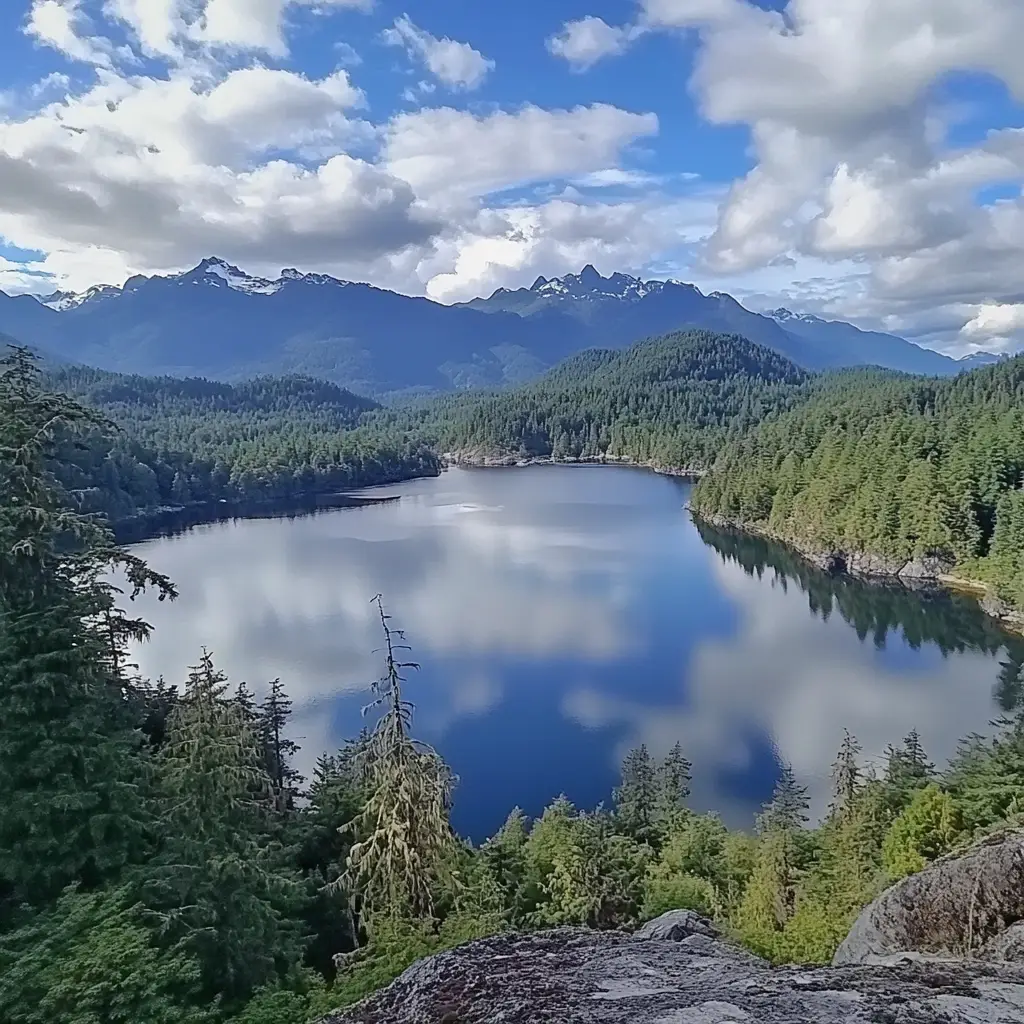
Have you ever had a dream of surfing the largest glacier on Vancouver Island? Well, if you had, it is time to experience this fantastic dream in the real world. Just in the heart of Comox Valley, Comox Lake offers a wide range of water sports such as wakeboarding and waterskiing. Due to the lake's closeness to several parks, you can do other outdoor activities to multiply the joy you have in this area.
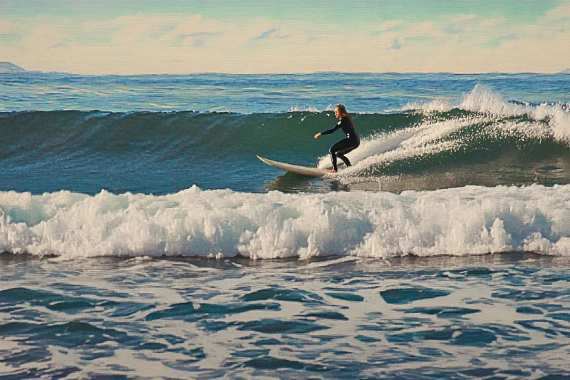
Leave your job and its responsibilities for a few days and try to feed your soul. If you are looking for a way to add excitement to your journey, Kitty Coleman Beach & Bates Beach will provide you with great opportunities to embrace and skim the surface of the water. Wave surfing on Kitty Coleman Beach and the low-tide pools of Bates Beach would make you feel fully charged and ready to get back doing your job.
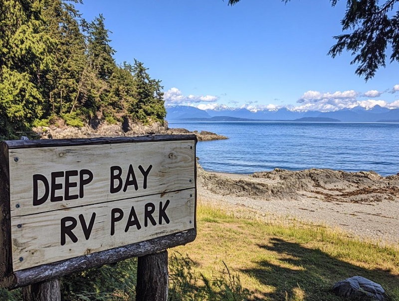
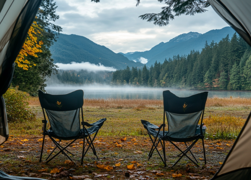
Despite its name, if you favour it, you can do tent camping with a sea view right in the center of Vancouver Island. one of the most significant fishing camps, Deep Bay s full of surprises for anglers. Not to mention that if you visit, you can observe various fantastic wildlife there. So, put your hesitates aside, and plan to visit Camping in Deep Bay RV Park this weekend.
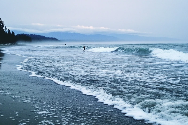
As a reward for your hard work, travel to Vancouver Island to fulfil your cravings for adventure and fun. Adjacent to Campbell River, Stories Beach is a vibrant spot attracting many visitors worldwide. The great waves heating the beach allow you to experience surfing for real. While you are in the area, keep in mind to fish; so, do not forget to bring your fishing rods.
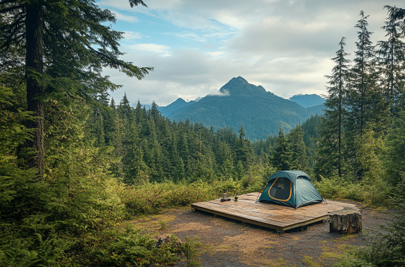
The fundamental core of life is your thirst for adventure; therefore, visiting Circlet Lake is a must. Circlet Lake Campground has enough attraction to fascinate you. Alpine forest, easy access, waterfalls, and lakes are just some attractions bewitching visitors and mountaineers for camping there. Some wooden plateau tent pads are provided on the lake, while some are off the lake for campers who need more seclusion.
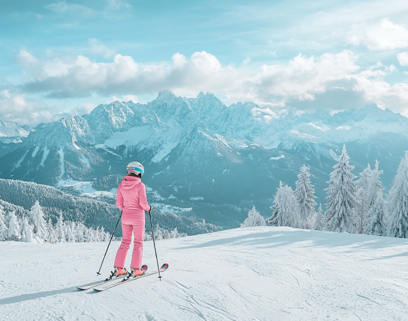
As the second busiest winter recreational destination in BC, Mt. Washington Ski Resort in Comox Valley offers a wide range of snowboarding facilities. Mountain climbing enthusiasts who choose Mount Washington for snowboarding have the chance to look across the Strait of Georgia and other spectacular views, such as the Strathcona Provincial Park region.
Home to many campsites with all kinds of facilities and services right on the shoreline, Buttle Lake campground offers you the best opportunities to explore the shore. There you can do a lot of activities and enjoy seeing marine creatures.
Annually, the campground welcomes RV and vehicle campers. Also, you can have a good time camping in your tents.
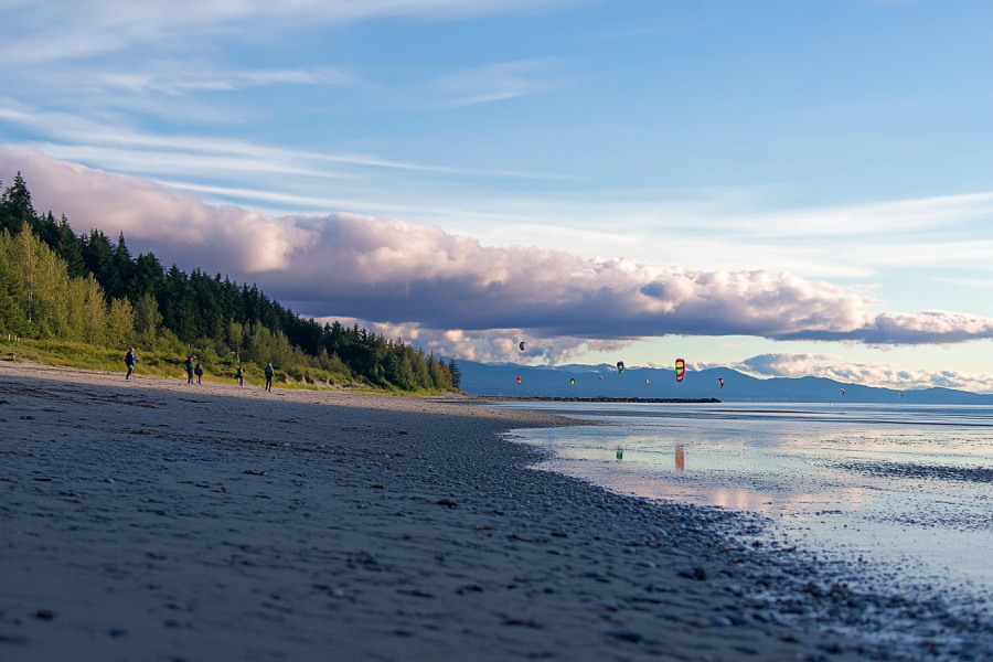
When you plan to choose a destination to go kiteboarding, you will get lost in the reasons you should select Goose Spit Regional Park. A scenic beach including a fantastic ecosystem will provide you with a handful of activities, kiteboarding in particular. Diverse wildlife is also observable.
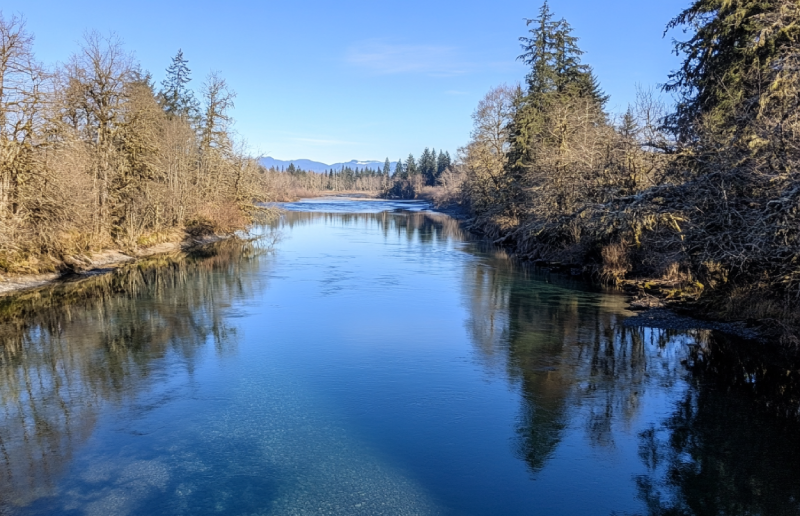
Nestled right in the territory of K’omoks First Nation, the Puntledge RV Campground offers you chances to camp next to a river with a mountain view as your backdrop, which makes it an ideal place to watch how the sun greets the mountains. You can enjoy camping with all facilities provided and no worries for the kids to get hurt. Also, a top-notch adventure is awaiting you.
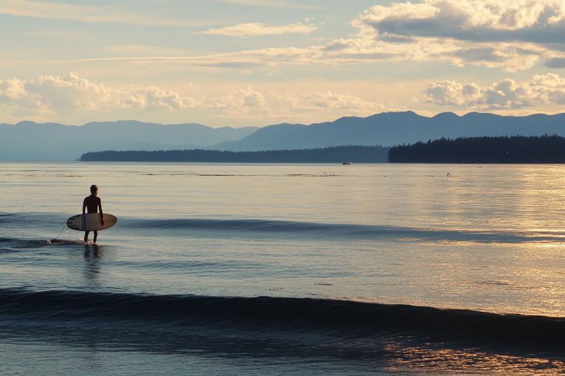
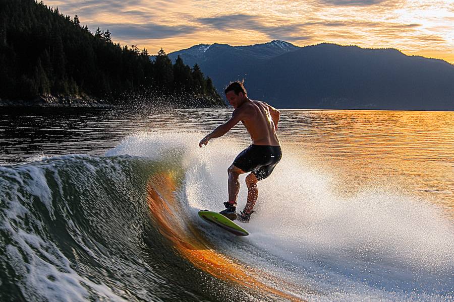
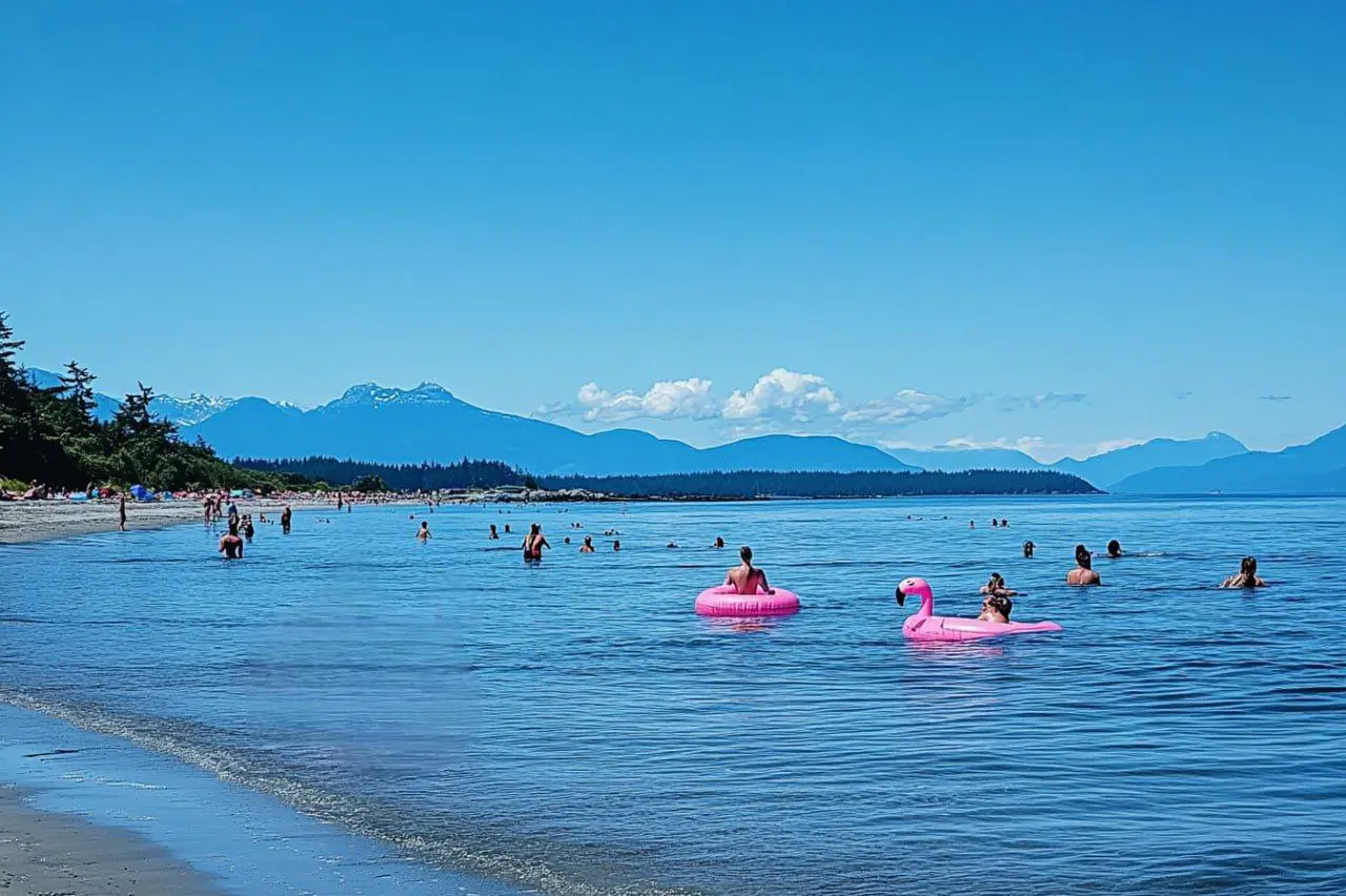
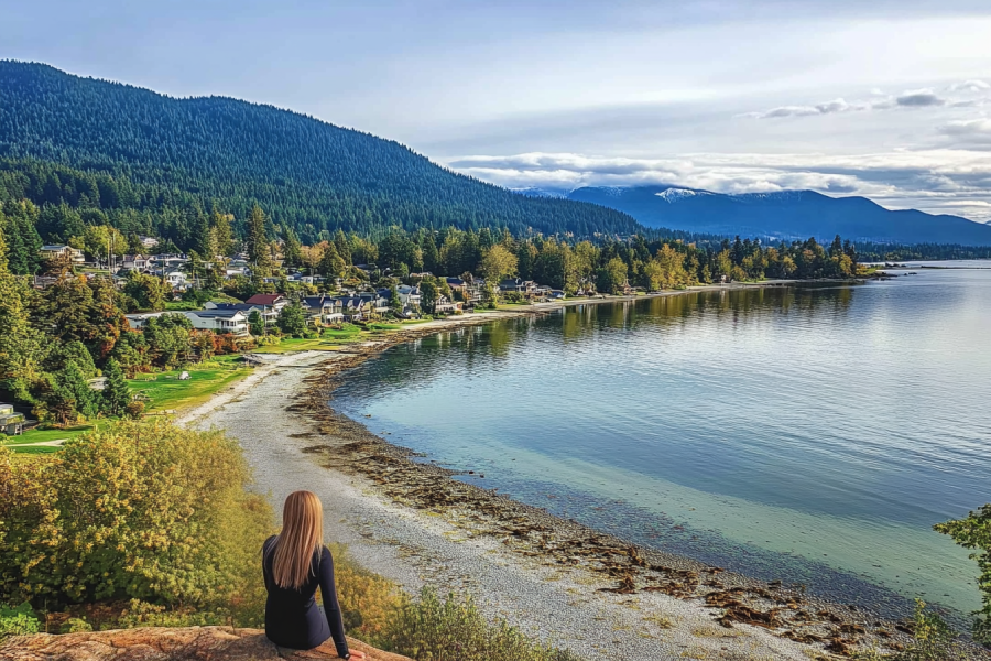
Come to Kye Bay and Goose Spit, and then you will figure out why you get on the road in the first place. On the east coast of Vancouver Island, extreme tides breaking into the sandy beaches of these two spectacular spots would make them both ideal destinations for surfing. While you are on these beaches, you are provided with stunning sceneries of the BC Coastal Mountains, which can double the surfing pleasure.


.webp)


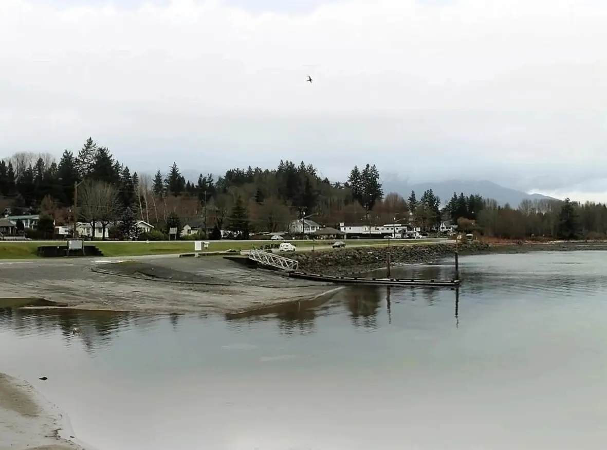
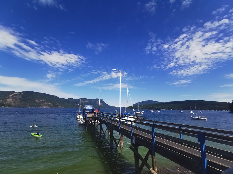
Union Bay, a charming seaside village on Vancouver Island’s east coast, is celebrated for its deep harbor—the deepest in Baynes Sound—and its storied past as a bustling coal port from 1888 to 1960. Nestled in the Comox Valley, just 15 km south of Courtenay, this hidden gem offers a unique blend of historical intrigue, scenic beauty, and modern oyster aquaculture. Visitors can explore Heritage Row’s restored buildings, savor fresh seafood at the iconic Highwayman Saloon, and enjoy coastal activities like kayaking and hiking. With its vibrant history tied to the K’ómoks First Nation and coal mining, Union Bay is a must-visit for history buffs and nature lovers. This article guides you through how to visit, top attractions, permit requirements, and travel tips to experience this historic Vancouver Island destination.
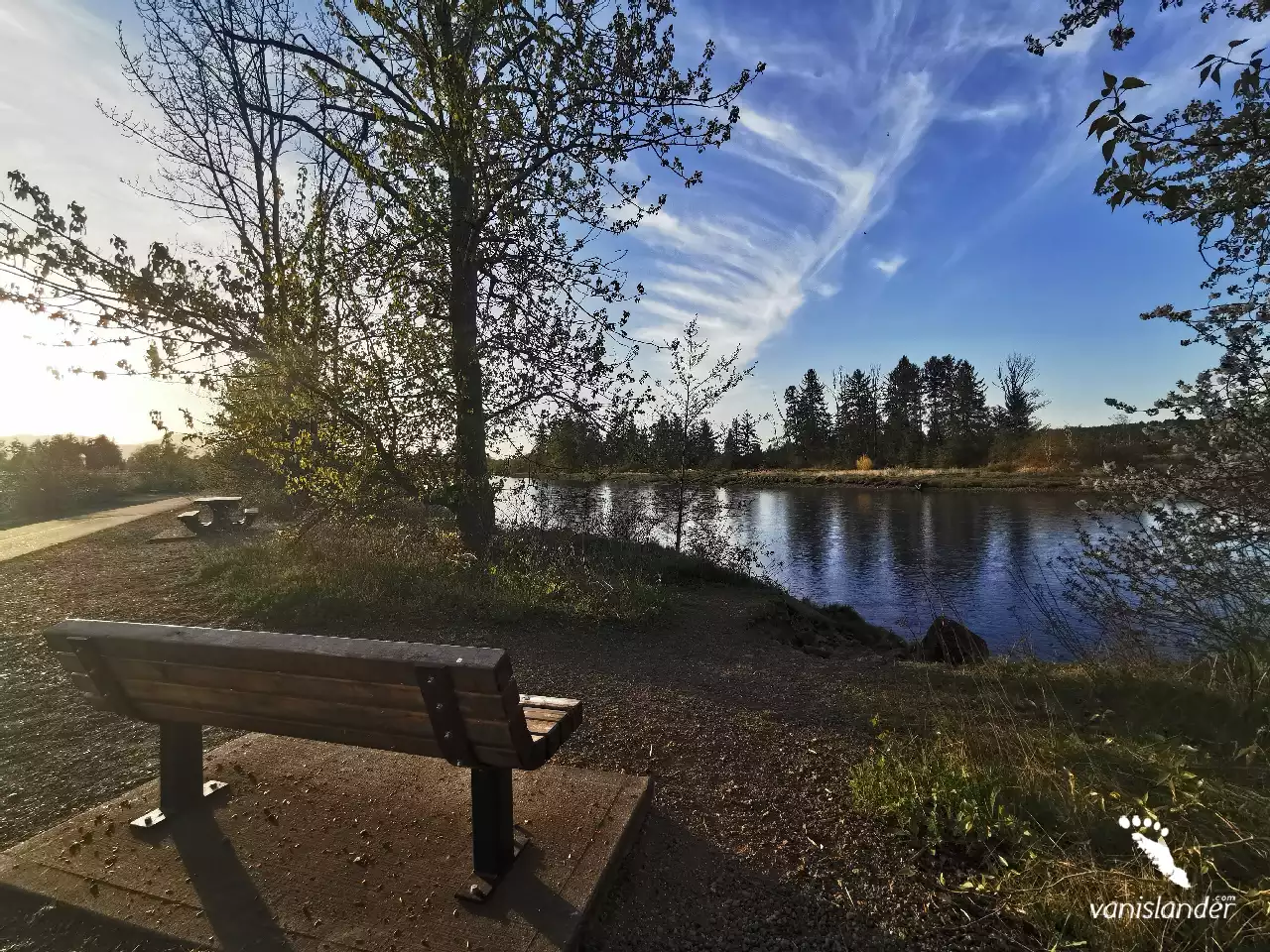
Maple Lake, also known as the jewel of Comox Valley, is a nice scenic local lake with great fun opportunities. Surrounded by second-growth forests and excellent shorelines, Maple Lake provides its visitors with fabulous hiking trails in which you take a nice long walk while enjoying the magnificent scenery of the lake. As an important natural asset of Comox valley, Maple Lake is a peaceful destination to explore the nature.
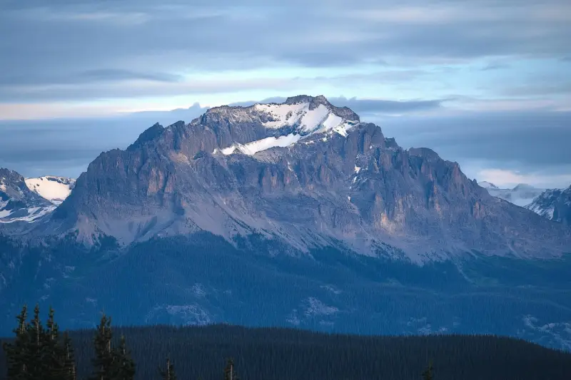
Mount Albert Edward is the sixth-highest mountain on Vancouver Island. It is located in the center of Vancouver Island in Strathcona Provincial Park and is one of the most easily accessible mountains. Mt Albert Edward is a popular destination among mountaineers at 2093 m (6866 ft.) elevation. It was named for Albert Edward and was first ascended in 1890 by William Ralph. The mountain is a renowned place among mountaineers for skiing and snowshoeing in winters.
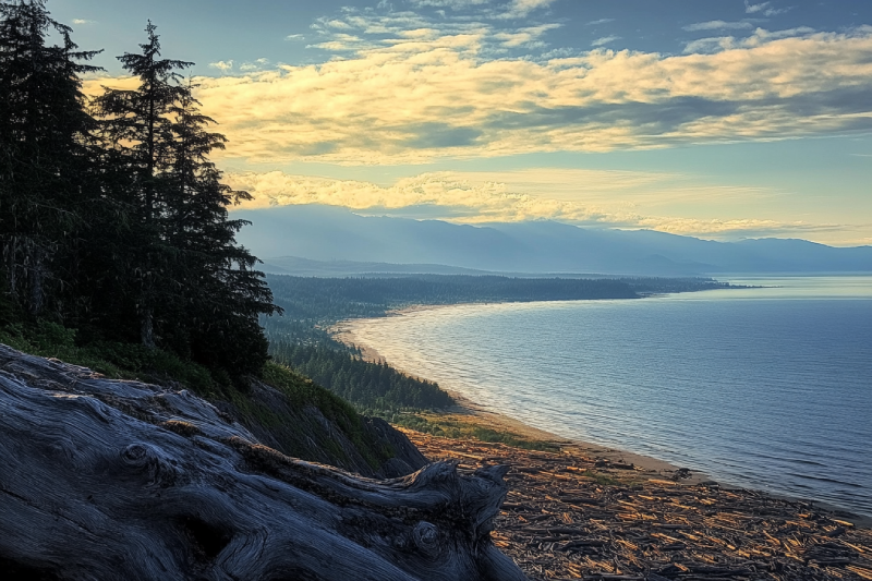
Saratoga Beach is a serene coastal retreat on Vancouver Island that offers an escape from city life. Renowned for its pristine sands, vibrant tide pools, and breathtaking ocean views, this beach is an ideal destination for families, photographers, and nature lovers. Whether you’re planning a day trip or a weekend getaway, Saratoga Beach provides a perfect blend of adventure and relaxation. In this article, we cover why this beach is a must-visit, detailed driving directions from key cities, and essential tips—including permit and parking information—to help you plan your visit.
Comox is a town with fishing opportunities, local wildlife, year-round golf and proximity to the Mount Washington ski area, the Forbidden Plateau, and Strathcona Provincial Park. Based on archaeological evidence, there was a Coast Salish fishing settlement at Comox for at least 4,000 years. The area's signature landmark is the Comox Glacier.
Courtenay is the biggest community in the area with daily flights from Vancouver, Calgary, and Edmonton. It has scenic beaches, rivers, lakes, and popular activities such as Mt. Washington Ski, snowshoeing, snowmobiling, snowboarding, and world-class golfing. Comox Valley is famous for year-round sports and recreational activities among them are bird watching and photography.
Parksville is known for its scenic, superb sandy beaches. This city is also famous for hiking trails, waterfalls, wildlife, parks, entertainment centres, and many fantastic restaurants and pubs. The city's most popular annual festival is Sandcastle Competition. Englishman River Falls, Little Qualicum Falls, and Englishman River Falls Provincial Park are among the most visited places.
Mount McBride with 2083 m (6834 ft.) height is the seventh highest mountain on Central Vancouver Island. Atop Mount McBride, the 360° panoramic view of Strathcona Provincial Park is rewarding, besides vistas of the highest mountains on Vancouver Island, including Golden Hinde, Mt Colonel Foster, King's Peak, Elkhorn Mountain, and Rambler Peak.
Goose Spit Park is a long narrow coastal park with a view of the Pacific Ocean and majestic mountains. Lots of driftwoods exist all over the beach. Have a nice walk on the long walkway to see lots of crab and starfish or find some sand dollars. Goose Spit Park offers excellent opportunities for water sports like swimming, kayaking, and surfing.
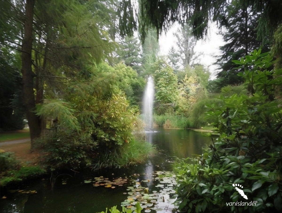
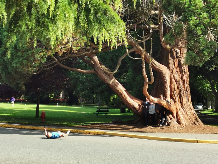
Kitty Coleman Woodland Gardens is a fantastic natural garden with delightful paths, a creek, and great open spaces. It is home to plenty of native plants, wildflowers, and birds. The garden features one of the largest collections of rhododendrons in Western Canada, with over 3000 plantings. The best time to visit is from March to the end of June when the rhododendrons are in full bloom.
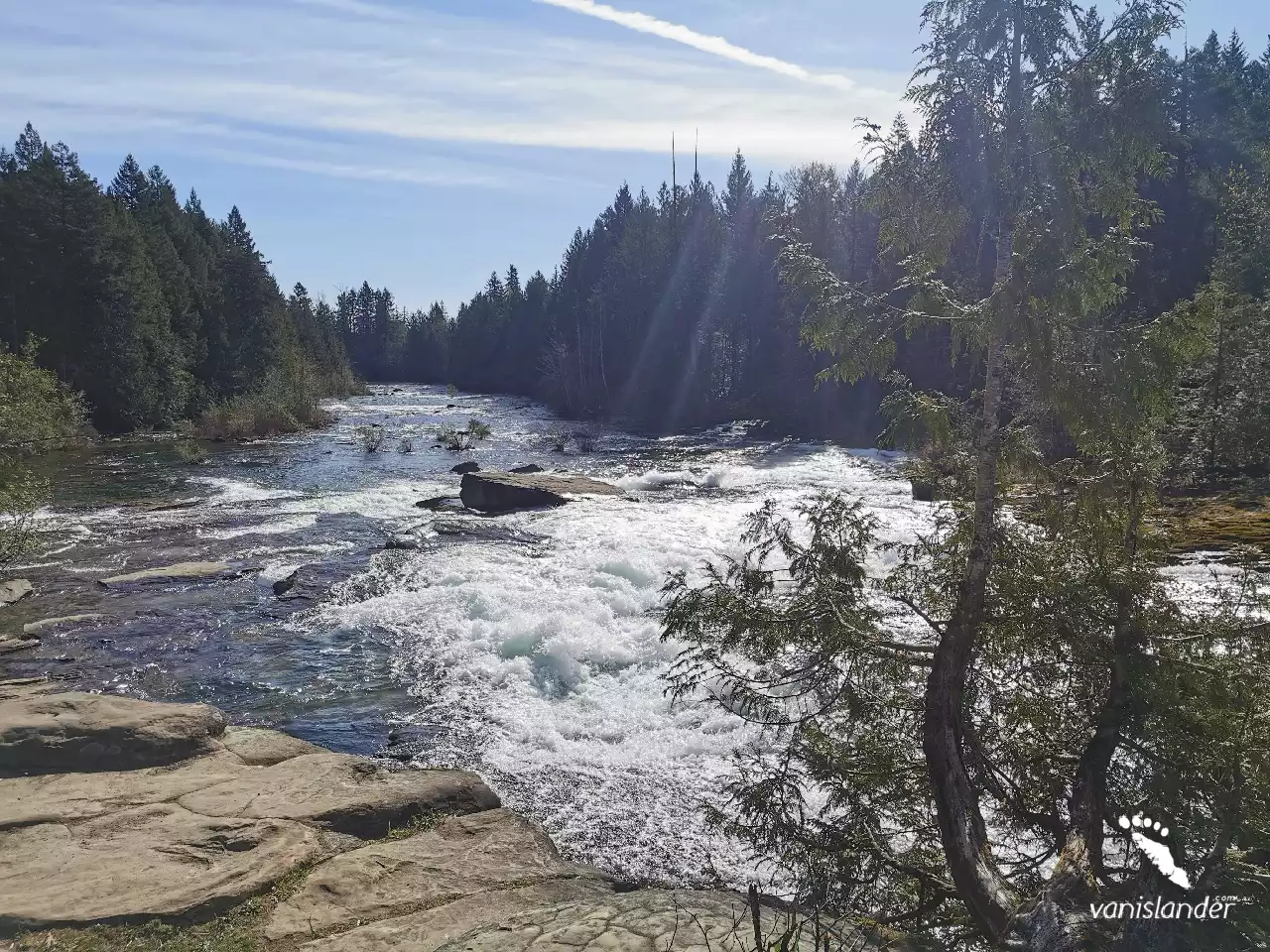
The Puntledge River cuts its way through the rocks, and it falls where the stunning drops of Nymph Falls appear. It is the crown jewel of Nymph Falls Nature Park, with two drops in the middle of the wood, the wonderful lush green forest. Just drive about 10 km (6.2 mi) from Courtenay to the west to discover the beauties.
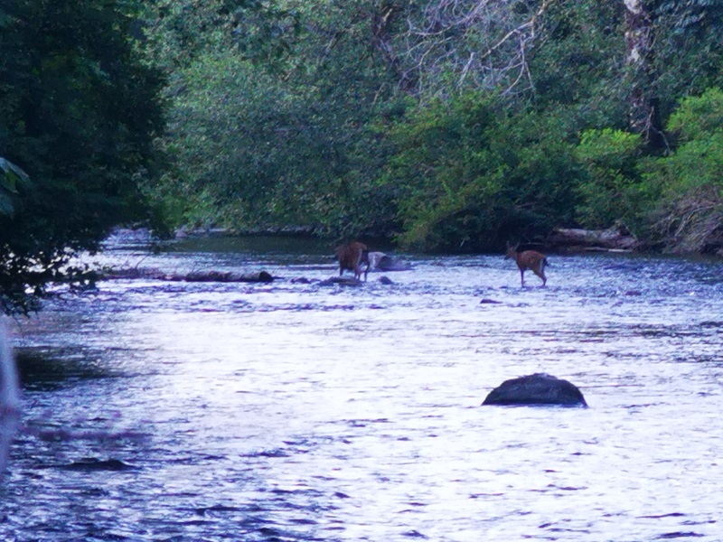
A great place to heal and recharge on the Campbell River is Deer Falls, a little piece of heaven. Imagine the water descends into an emerald green pool with the sweetest melody that you could hear and the tall trees surrounding the falls. In summer and late spring, the rocks around the pool become moss-covered and create a fabulous view. Watching bears there in summertime eating salmon is fantastic, but don't limit your expectations; the area has a lot to offer as scenery.
It is a grace finding a waterfall along a river. The Puntledge River makes Stotan Falls a beautiful pond waterfall with a wide area. The waterfall sound melodious by the water pouring smoothly on the large rocks on its way that you can enjoy for hours. Swimming in summer would be delightful while you are in hot water where the green forest surrounds you.
Tribune Bay Provincial Park, or Little Hawaii, has an expansive sweep of white sand surrounded by woods. The park is famous for its unusual rocky shoreline formations, tidal pools, and beautiful white sandy beaches. Its warm and shallow water is ideal for snorkelling and swimming. Being there watching sunsets and a beautiful full moon without any street lights to distract the view would impress you.
The flow of Rosewall Creek forms a waterfall in the middle of a rain forest surrounded by moss-covered rocks. Rosewall Creek Falls is one of the masterpieces done by nature that deserves multiple visits. The water is white and pure, and it seems like it's coming out of a wall made of trees. Visiting the waterfall in summer and spring would be perfect as the creek has a higher water level.
|
Month |
Weather Conditions |
Trail Accessibility |
Considerations |
|---|---|---|---|
|
May
|
Cool and wet; lingering snow at higher elevations.
|
Lower trail sections accessible; upper areas may be snow-covered.
|
Use caution; potential snowpack; check avalanche updates.
|
|
June
|
Milder temps; mix of sun and showers.
|
Most of the trail becomes accessible.
|
Snow may persist at the summit; bring layers and poles.
|
|
July
|
Warm and dry; ideal conditions.
|
Fully accessible; all routes open.
|
Peak hiking month; campsites may fill quickly.
|
|
August
|
Warm, dry, and stable conditions.
|
Fully accessible; excellent visibility.
|
Peak season; book early; best time for summit attempts.
|
|
September
|
Cooler, more frequent rain; shorter days.
|
Trail open but can become muddy/slippery.
|
Fewer crowds; prepare for rapidly changing weather.
|

Alireza Moghimehfar